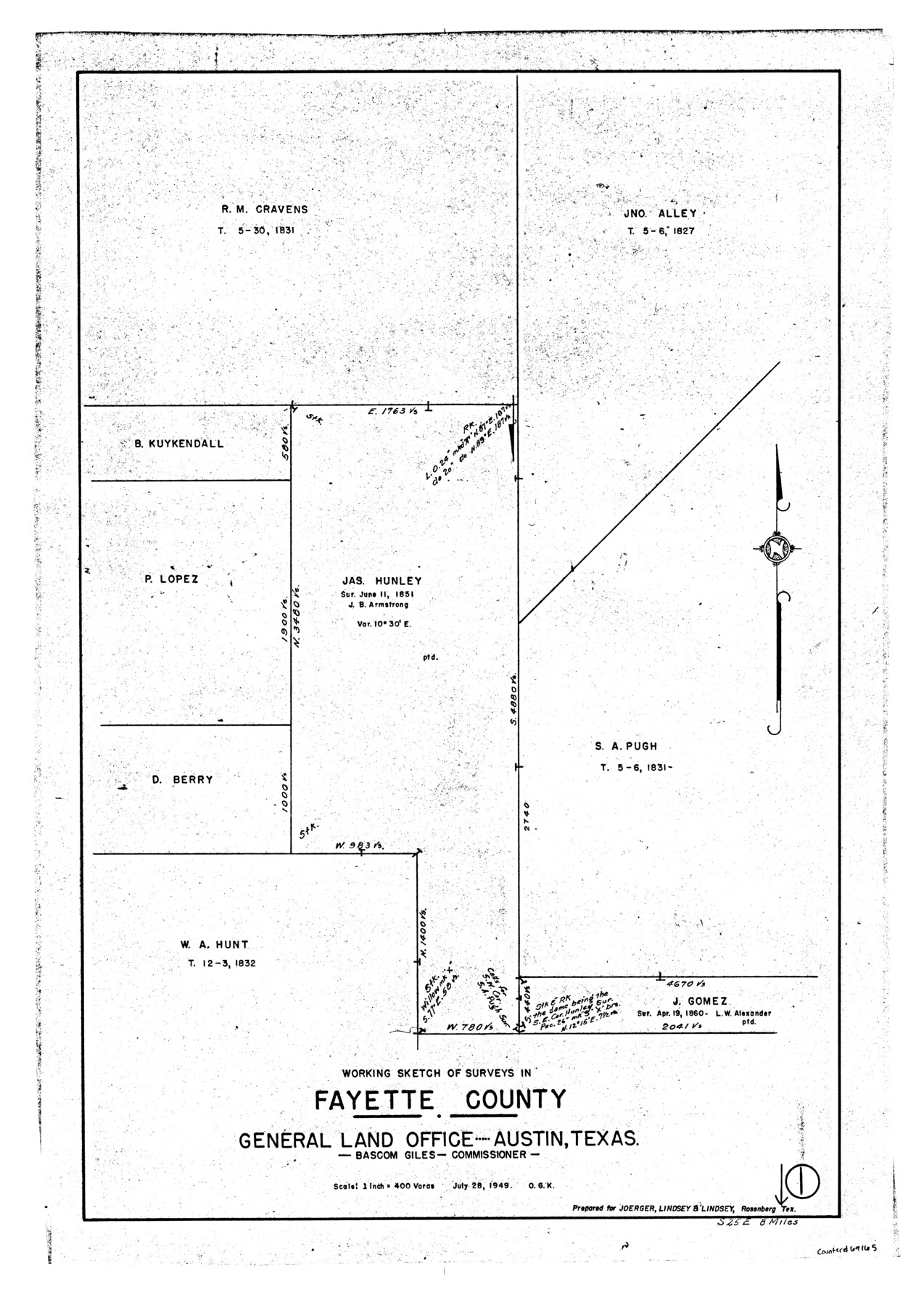
Fayette County Working Sketch 1
-
Map/Doc
69165
-
Collection
General Map Collection
-
Object Dates
7/28/1949 (Creation Date)
-
People and Organizations
Otto G. Kurio (Draftsman)
-
Counties
Fayette
-
Subjects
Surveying Working Sketch
-
Height x Width
25.4 x 18.0 inches
64.5 x 45.7 cm
-
Scale
1" = 400 varas
Part of: General Map Collection
Presidio County Working Sketch 145

Print $20.00
- Digital $50.00
Presidio County Working Sketch 145
1990
Size 29.5 x 42.7 inches
Map/Doc 71823
Edwards County Working Sketch 76

Print $20.00
- Digital $50.00
Edwards County Working Sketch 76
1959
Size 22.8 x 24.8 inches
Map/Doc 68952
Zapata County Working Sketch 4

Print $20.00
- Digital $50.00
Zapata County Working Sketch 4
1935
Size 19.6 x 22.1 inches
Map/Doc 62055
Johnson County Working Sketch 10

Print $20.00
- Digital $50.00
Johnson County Working Sketch 10
1953
Size 26.2 x 37.1 inches
Map/Doc 66623
Texas-Oklahoma Boundary Line: brief summary of the lands surveyed and the lands not surveyed in the dispute between Oklahoma vs. Texas

Print $356.00
- Digital $50.00
Texas-Oklahoma Boundary Line: brief summary of the lands surveyed and the lands not surveyed in the dispute between Oklahoma vs. Texas
1923
Size 6.0 x 9.2 inches
Map/Doc 3061
Flight Mission No. DQN-2K, Frame 70, Calhoun County

Print $20.00
- Digital $50.00
Flight Mission No. DQN-2K, Frame 70, Calhoun County
1953
Size 18.7 x 22.3 inches
Map/Doc 84262
Stephens County Working Sketch 41

Print $40.00
- Digital $50.00
Stephens County Working Sketch 41
2008
Size 34.1 x 48.0 inches
Map/Doc 88737
Preliminary Chart of Entrance to Brazos River, Texas

Print $20.00
- Digital $50.00
Preliminary Chart of Entrance to Brazos River, Texas
1858
Size 18.4 x 19.5 inches
Map/Doc 69973
Flight Mission No. DQO-7K, Frame 76, Galveston County

Print $20.00
- Digital $50.00
Flight Mission No. DQO-7K, Frame 76, Galveston County
1952
Size 18.8 x 22.5 inches
Map/Doc 85103
Matagorda County NRC Article 33.136 Location Key Sheet

Print $20.00
- Digital $50.00
Matagorda County NRC Article 33.136 Location Key Sheet
1995
Size 27.0 x 23.0 inches
Map/Doc 87909
Flight Mission No. BRA-16M, Frame 84, Jefferson County

Print $20.00
- Digital $50.00
Flight Mission No. BRA-16M, Frame 84, Jefferson County
1953
Size 18.6 x 22.1 inches
Map/Doc 85696
Ochiltree County Working Sketch 8

Print $20.00
- Digital $50.00
Ochiltree County Working Sketch 8
1982
Size 23.4 x 20.8 inches
Map/Doc 71321
You may also like
Jasper County

Print $20.00
- Digital $50.00
Jasper County
1882
Size 17.6 x 14.0 inches
Map/Doc 75779
Hopkins County Sketch File 8

Print $6.00
- Digital $50.00
Hopkins County Sketch File 8
1856
Size 11.8 x 8.6 inches
Map/Doc 26695
Flight Mission No. BRA-8M, Frame 134, Jefferson County

Print $20.00
- Digital $50.00
Flight Mission No. BRA-8M, Frame 134, Jefferson County
1953
Size 18.6 x 22.5 inches
Map/Doc 85630
Gregg County Working Sketch 10

Print $20.00
- Digital $50.00
Gregg County Working Sketch 10
1939
Size 34.1 x 26.4 inches
Map/Doc 63276
General Highway Map, Williamson County, Texas

Print $20.00
General Highway Map, Williamson County, Texas
1961
Size 24.8 x 18.2 inches
Map/Doc 79713
Coke County Boundary File 5

Print $36.00
- Digital $50.00
Coke County Boundary File 5
Size 7.7 x 37.9 inches
Map/Doc 51606
Jackson County Rolled Sketch 3C

Print $59.00
- Digital $50.00
Jackson County Rolled Sketch 3C
1913
Size 23.7 x 21.8 inches
Map/Doc 6339
Terrell County Working Sketch 60

Print $40.00
- Digital $50.00
Terrell County Working Sketch 60
1962
Size 20.2 x 67.0 inches
Map/Doc 69581
Sylvan Dell Heights, North Half of Northeast Quarter of Section 9, Block E2 (J. C. Davis, Owner)

Print $20.00
- Digital $50.00
Sylvan Dell Heights, North Half of Northeast Quarter of Section 9, Block E2 (J. C. Davis, Owner)
1952
Size 38.0 x 23.5 inches
Map/Doc 92774
Traced from Genl. Arista's map captured by the American Army under Genl. Taylor at Resaca de la Palma 9th May '46 and presented to James K. Polk, President U. States

Print $20.00
- Digital $50.00
Traced from Genl. Arista's map captured by the American Army under Genl. Taylor at Resaca de la Palma 9th May '46 and presented to James K. Polk, President U. States
1846
Size 18.4 x 27.6 inches
Map/Doc 73059
Gray County Working Sketch Graphic Index

Print $20.00
- Digital $50.00
Gray County Working Sketch Graphic Index
1900
Size 43.3 x 39.4 inches
Map/Doc 76557
Panola County Rolled Sketch 8

Print $20.00
- Digital $50.00
Panola County Rolled Sketch 8
1986
Size 20.1 x 18.0 inches
Map/Doc 7201