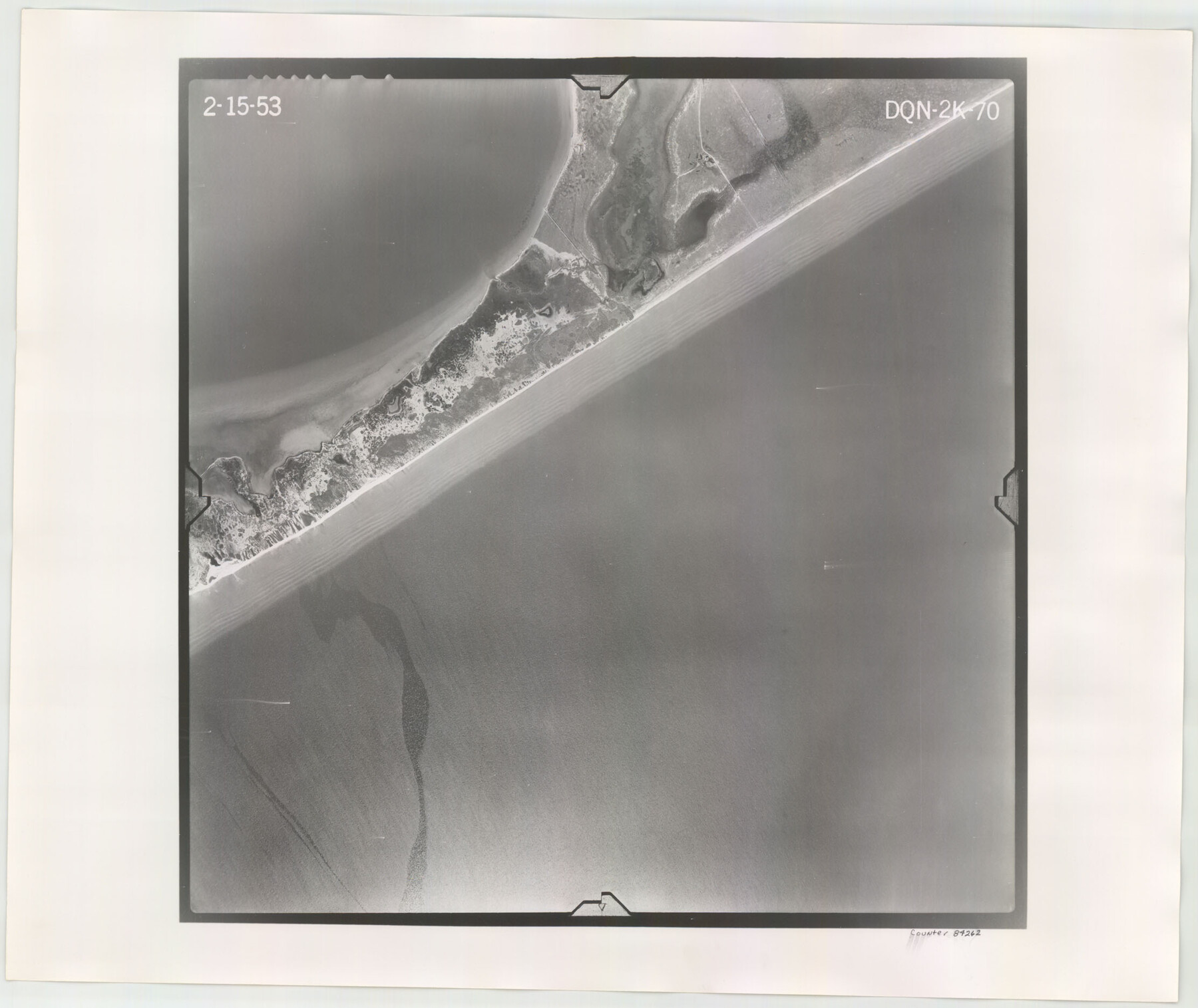
Flight Mission No. DQN-2K, Frame 70, Calhoun County
DQN-2K-70
-
Map/Doc
84262
-
Collection
General Map Collection
-
Object Dates
1953/2/15 (Creation Date)
-
People and Organizations
U. S. Department of Agriculture (Publisher)
-
Counties
Calhoun
-
Subjects
Aerial Photograph
-
Height x Width
18.7 x 22.3 inches
47.5 x 56.6 cm
-
Comments
Flown by Aero Exploration Company of Tulsa, Oklahoma.
Part of: General Map Collection
Map of Africa engraved to illustrate Mitchell's new intermediate geography (Inset 1: Map of Egypt / Inset 2: Liberia and Sierra Leone)

Print $20.00
- Digital $50.00
Map of Africa engraved to illustrate Mitchell's new intermediate geography (Inset 1: Map of Egypt / Inset 2: Liberia and Sierra Leone)
1885
Size 9.0 x 12.2 inches
Map/Doc 93530
Terrell County Rolled Sketch 37

Print $20.00
- Digital $50.00
Terrell County Rolled Sketch 37
1940
Size 23.8 x 33.3 inches
Map/Doc 7941
Kinney County Working Sketch 53

Print $20.00
- Digital $50.00
Kinney County Working Sketch 53
1981
Size 23.7 x 23.0 inches
Map/Doc 70235
Lipscomb County Sketch File 2

Print $20.00
- Digital $50.00
Lipscomb County Sketch File 2
1902
Size 10.7 x 8.2 inches
Map/Doc 30223
Report on the Meridional Boundary between Louisiana and Texas, retracement by the Louisiana Geodetic Survey

Print $2.00
- Digital $50.00
Report on the Meridional Boundary between Louisiana and Texas, retracement by the Louisiana Geodetic Survey
Size 11.2 x 8.8 inches
Map/Doc 61174

Cooke County Working Sketch 23

Print $20.00
- Digital $50.00
Cooke County Working Sketch 23
1969
Size 32.1 x 33.4 inches
Map/Doc 68260
Tom Green County Sketch File 55 1/2

Print $20.00
- Digital $50.00
Tom Green County Sketch File 55 1/2
1886
Size 26.4 x 13.6 inches
Map/Doc 12443
Chambers County Sketch File 20

Print $4.00
- Digital $50.00
Chambers County Sketch File 20
Size 9.2 x 7.4 inches
Map/Doc 17591
Martin County Sketch File 15

Print $4.00
- Digital $50.00
Martin County Sketch File 15
Size 11.9 x 8.3 inches
Map/Doc 30674
Flight Mission No. CGN-3P, Frame 21, San Patricio County

Print $20.00
- Digital $50.00
Flight Mission No. CGN-3P, Frame 21, San Patricio County
1956
Size 18.2 x 22.0 inches
Map/Doc 86979
Kimble County Rolled Sketch 17

Print $20.00
- Digital $50.00
Kimble County Rolled Sketch 17
Size 19.7 x 20.5 inches
Map/Doc 6509
You may also like
Harris County Rolled Sketch 96A

Print $20.00
- Digital $50.00
Harris County Rolled Sketch 96A
Size 45.7 x 37.7 inches
Map/Doc 9143
Newton County Working Sketch 8

Print $20.00
- Digital $50.00
Newton County Working Sketch 8
1937
Size 23.2 x 18.5 inches
Map/Doc 71254
[E. L. & R.R. Block 1, G. C. & S. F. Blocks 1 & 2, T. R. R. Block 4]
![91280, [E. L. & R.R. Block 1, G. C. & S. F. Blocks 1 & 2, T. R. R. Block 4], Twichell Survey Records](https://historictexasmaps.com/wmedia_w700/maps/91280-1.tif.jpg)
Print $20.00
- Digital $50.00
[E. L. & R.R. Block 1, G. C. & S. F. Blocks 1 & 2, T. R. R. Block 4]
Size 8.7 x 19.3 inches
Map/Doc 91280
The Republic County of Jackson. Boundaries Defined, December 29, 1837

Print $20.00
The Republic County of Jackson. Boundaries Defined, December 29, 1837
2020
Size 15.6 x 21.8 inches
Map/Doc 96184
Map of Texas with Parts of the Adjoining States

Print $20.00
Map of Texas with Parts of the Adjoining States
1833
Size 29.3 x 23.3 inches
Map/Doc 79740
Scurry County Rolled Sketch 7

Print $20.00
- Digital $50.00
Scurry County Rolled Sketch 7
1946
Size 23.5 x 10.4 inches
Map/Doc 7767
Flight Mission No. BRE-2P, Frame 70, Nueces County

Print $20.00
- Digital $50.00
Flight Mission No. BRE-2P, Frame 70, Nueces County
1956
Size 18.5 x 22.6 inches
Map/Doc 86765
Sylvan Sanders Map of Gaines County, Texas

Print $40.00
- Digital $50.00
Sylvan Sanders Map of Gaines County, Texas
Size 54.3 x 40.8 inches
Map/Doc 89844
Corpus Christi Harbor

Print $40.00
- Digital $50.00
Corpus Christi Harbor
1972
Size 36.9 x 52.3 inches
Map/Doc 73477
Ector County Sketch File 3

Print $20.00
- Digital $50.00
Ector County Sketch File 3
1889
Size 16.2 x 35.5 inches
Map/Doc 11417
Bell County Sketch File 20a

Print $4.00
- Digital $50.00
Bell County Sketch File 20a
1855
Size 6.7 x 8.3 inches
Map/Doc 14408
Atascosa County Sketch File 3a

Print $6.00
- Digital $50.00
Atascosa County Sketch File 3a
1856
Size 7.1 x 8.8 inches
Map/Doc 13736