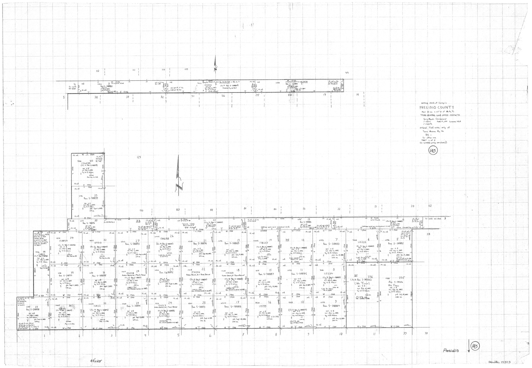
Presidio County Working Sketch 145
-
Map/Doc
71823
-
Collection
General Map Collection
-
Object Dates
9/17/1990 (Creation Date)
-
People and Organizations
L. Wall (Draftsman)
-
Counties
Presidio
-
Subjects
Surveying Working Sketch
-
Height x Width
29.5 x 42.7 inches
74.9 x 108.5 cm
-
Scale
1" = 720 varas
Part of: General Map Collection
Johnson County Working Sketch Graphic Index

Print $20.00
- Digital $50.00
Johnson County Working Sketch Graphic Index
1943
Size 40.7 x 38.3 inches
Map/Doc 76598
Polk County Sketch File 41

Print $10.00
- Digital $50.00
Polk County Sketch File 41
Size 12.7 x 8.2 inches
Map/Doc 34292
Flight Mission No. BQR-13K, Frame 121, Brazoria County

Print $20.00
- Digital $50.00
Flight Mission No. BQR-13K, Frame 121, Brazoria County
1952
Size 18.6 x 22.3 inches
Map/Doc 84082
Winkler County

Print $20.00
- Digital $50.00
Winkler County
1890
Size 22.8 x 18.5 inches
Map/Doc 4160
Baylor County Sketch File 12f

Print $12.00
- Digital $50.00
Baylor County Sketch File 12f
1900
Size 14.4 x 9.0 inches
Map/Doc 14164
United States Atlantic and Gulf Coasts Including Puerto Rico and the Virgin Islands

Print $40.00
- Digital $50.00
United States Atlantic and Gulf Coasts Including Puerto Rico and the Virgin Islands
1992
Size 21.7 x 60.7 inches
Map/Doc 76123
Van Zandt County

Print $20.00
- Digital $50.00
Van Zandt County
1857
Size 20.0 x 25.3 inches
Map/Doc 8144
Matagorda Bay and Approaches

Print $20.00
- Digital $50.00
Matagorda Bay and Approaches
1976
Size 35.8 x 45.2 inches
Map/Doc 73387
Flight Mission No. BRE-1P, Frame 138, Nueces County

Print $20.00
- Digital $50.00
Flight Mission No. BRE-1P, Frame 138, Nueces County
1956
Size 18.4 x 22.3 inches
Map/Doc 86698
Fannin County Rolled Sketch 18D

Print $2.00
- Digital $50.00
Fannin County Rolled Sketch 18D
Size 12.9 x 8.1 inches
Map/Doc 5871
Coke County Sketch File 19

Print $20.00
- Digital $50.00
Coke County Sketch File 19
Size 18.5 x 25.0 inches
Map/Doc 11110
Flight Mission No. BRA-7M, Frame 128, Jefferson County

Print $20.00
- Digital $50.00
Flight Mission No. BRA-7M, Frame 128, Jefferson County
1953
Size 18.8 x 22.5 inches
Map/Doc 85522
You may also like
Winkler County Rolled Sketch 13

Print $40.00
- Digital $50.00
Winkler County Rolled Sketch 13
1902
Size 39.5 x 48.7 inches
Map/Doc 10153
Roberts County Sketch File 7

Print $16.00
- Digital $50.00
Roberts County Sketch File 7
1992
Size 14.3 x 8.8 inches
Map/Doc 35316
Cherokee County Working Sketch 6

Print $20.00
- Digital $50.00
Cherokee County Working Sketch 6
1953
Size 40.9 x 35.1 inches
Map/Doc 67961
Flight Mission No. BRA-7M, Frame 14, Jefferson County

Print $20.00
- Digital $50.00
Flight Mission No. BRA-7M, Frame 14, Jefferson County
1953
Size 18.6 x 22.3 inches
Map/Doc 85465
Aransas County NRC Article 33.136 Location Key Sheet

Print $20.00
- Digital $50.00
Aransas County NRC Article 33.136 Location Key Sheet
1971
Size 27.0 x 23.0 inches
Map/Doc 88769
Erath County Working Sketch 16

Print $20.00
- Digital $50.00
Erath County Working Sketch 16
1961
Size 20.9 x 26.5 inches
Map/Doc 69097

Red River, Bois D'Arc Creek Floodway Sheet No. 3

Print $20.00
- Digital $50.00
Red River, Bois D'Arc Creek Floodway Sheet No. 3
1917
Size 28.8 x 22.0 inches
Map/Doc 69658
Gulf of Mexico

Print $20.00
- Digital $50.00
Gulf of Mexico
1900
Size 18.2 x 28.1 inches
Map/Doc 72647
Cass County Working Sketch 9

Print $20.00
- Digital $50.00
Cass County Working Sketch 9
1937
Size 28.4 x 32.7 inches
Map/Doc 67912
[Leagues 633-737]
![91107, [Leagues 633-737], Twichell Survey Records](https://historictexasmaps.com/wmedia_w700/maps/91107-1.tif.jpg)
Print $20.00
- Digital $50.00
[Leagues 633-737]
Size 23.9 x 19.6 inches
Map/Doc 91107
Dickens County Sketch File 31

Print $20.00
- Digital $50.00
Dickens County Sketch File 31
Size 22.3 x 9.5 inches
Map/Doc 11327