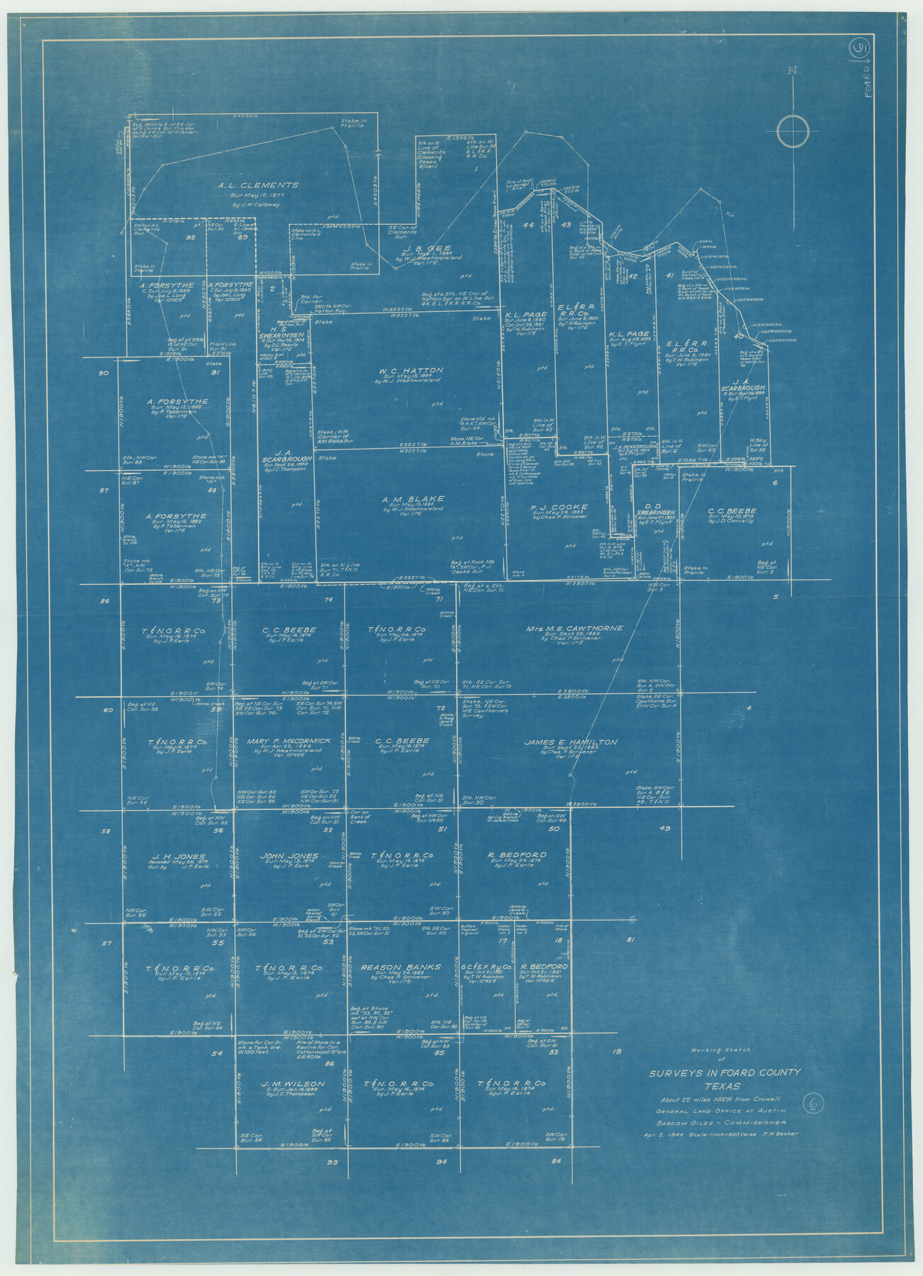
Foard County Working Sketch 6
-
Map/Doc
69197
-
Collection
General Map Collection
-
Object Dates
4/5/1944 (Creation Date)
-
People and Organizations
F.H. Becker (Draftsman)
-
Counties
Foard
-
Subjects
Surveying Working Sketch
-
Height x Width
43.4 x 31.4 inches
110.2 x 79.8 cm
-
Scale
1" = 500 varas
Part of: General Map Collection
Jones County Sketch File 20

Print $4.00
- Digital $50.00
Jones County Sketch File 20
1875
Size 14.2 x 8.8 inches
Map/Doc 28543
Little River, Cameron Sheet

Print $4.00
- Digital $50.00
Little River, Cameron Sheet
1914
Size 28.3 x 24.4 inches
Map/Doc 65062
Foard County Working Sketch 6

Print $20.00
- Digital $50.00
Foard County Working Sketch 6
1944
Size 43.4 x 31.4 inches
Map/Doc 69197
Kinney County

Print $40.00
- Digital $50.00
Kinney County
1909
Size 49.8 x 44.2 inches
Map/Doc 66893
Donley County

Print $20.00
- Digital $50.00
Donley County
1944
Size 43.6 x 37.7 inches
Map/Doc 77266
Starr County Sketch File 30A

Print $20.00
- Digital $50.00
Starr County Sketch File 30A
1935
Size 21.2 x 23.6 inches
Map/Doc 12334
Fractional Township No. 8 South Range No. 4 East of the Indian Meridian, Indian Territory

Print $20.00
- Digital $50.00
Fractional Township No. 8 South Range No. 4 East of the Indian Meridian, Indian Territory
1898
Size 19.2 x 24.4 inches
Map/Doc 75208
Stonewall County Working Sketch 3

Print $20.00
- Digital $50.00
Stonewall County Working Sketch 3
1916
Size 22.2 x 17.9 inches
Map/Doc 63997
Nueces County Rolled Sketch 3

Print $20.00
- Digital $50.00
Nueces County Rolled Sketch 3
1907
Size 17.3 x 34.2 inches
Map/Doc 6866
DeWitt County Working Sketch 3

Print $20.00
- Digital $50.00
DeWitt County Working Sketch 3
1957
Size 35.5 x 44.6 inches
Map/Doc 68593
Hays County Rolled Sketch 23

Print $20.00
- Digital $50.00
Hays County Rolled Sketch 23
Size 20.1 x 19.4 inches
Map/Doc 6179
Marion County Sketch File 10

Print $4.00
- Digital $50.00
Marion County Sketch File 10
1867
Size 7.9 x 12.4 inches
Map/Doc 30579
You may also like
Dallas County Sketch File 5

Print $18.00
- Digital $50.00
Dallas County Sketch File 5
1858
Size 10.5 x 8.4 inches
Map/Doc 20400
The Republic County of Bowie. January 16, 1843

Print $20.00
The Republic County of Bowie. January 16, 1843
2020
Size 19.5 x 21.7 inches
Map/Doc 96106
San Jacinto County Rolled Sketch 4

Print $20.00
- Digital $50.00
San Jacinto County Rolled Sketch 4
Size 24.3 x 32.6 inches
Map/Doc 7557
Shamrock, Amended Plat on Section 44, Block 17, Wheeler County, Texas

Print $20.00
- Digital $50.00
Shamrock, Amended Plat on Section 44, Block 17, Wheeler County, Texas
Size 30.0 x 35.5 inches
Map/Doc 92144
A Traveler's Map of Spain and Portugal

A Traveler's Map of Spain and Portugal
Size 22.8 x 36.3 inches
Map/Doc 95938
Flight Mission No. DAG-18K, Frame 180, Matagorda County

Print $20.00
- Digital $50.00
Flight Mission No. DAG-18K, Frame 180, Matagorda County
1952
Size 18.6 x 22.3 inches
Map/Doc 86372
Gillespie County Boundary File 7

Print $18.00
- Digital $50.00
Gillespie County Boundary File 7
Size 8.6 x 4.0 inches
Map/Doc 53771
Pecos County Rolled Sketch JAS-1

Print $40.00
- Digital $50.00
Pecos County Rolled Sketch JAS-1
1936
Size 41.8 x 63.8 inches
Map/Doc 76146
Rusk County Sketch File 20

Print $4.00
Rusk County Sketch File 20
1859
Size 10.2 x 8.1 inches
Map/Doc 35530
General Highway Map, Hutchinson County, Texas

Print $20.00
General Highway Map, Hutchinson County, Texas
1940
Size 18.3 x 24.8 inches
Map/Doc 79137
Upshur County Sketch File 2

Print $4.00
- Digital $50.00
Upshur County Sketch File 2
1848
Size 8.5 x 11.0 inches
Map/Doc 38732
Cass County Working Sketch 53

Print $20.00
- Digital $50.00
Cass County Working Sketch 53
2007
Size 30.2 x 36.0 inches
Map/Doc 88608