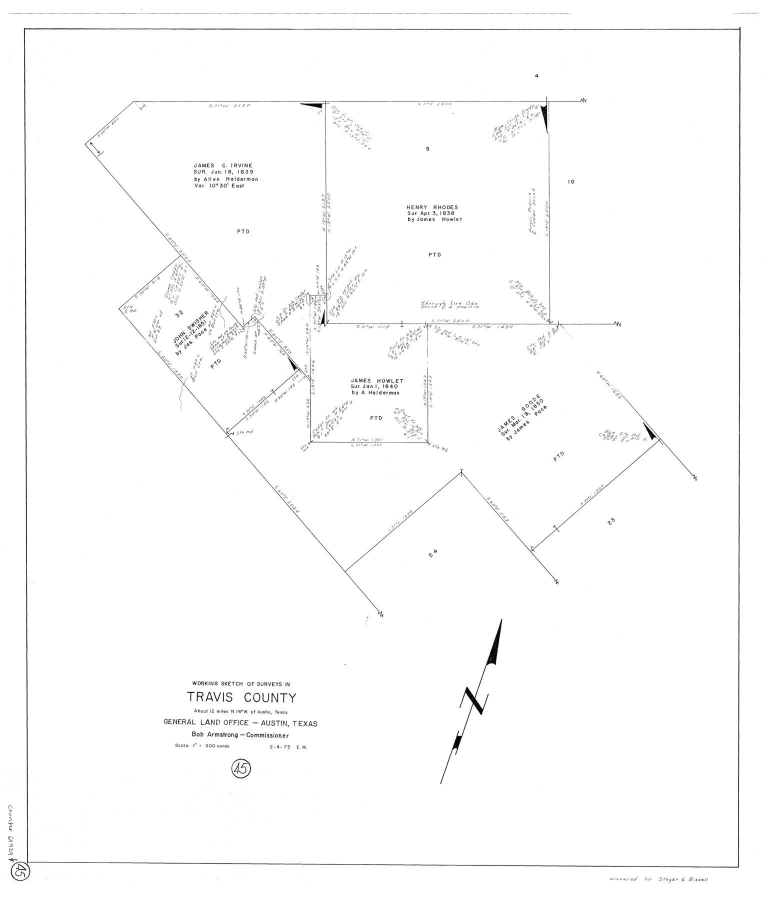
Travis County Working Sketch 45
-
Map/Doc
69429
-
Collection
General Map Collection
-
Object Dates
2/4/1975 (Creation Date)
-
People and Organizations
Elbert Menzel (Draftsman)
-
Counties
Travis
-
Subjects
Surveying Working Sketch
-
Height x Width
33.6 x 28.7 inches
85.3 x 72.9 cm
-
Scale
1" = 300 varas
Part of: General Map Collection
Flight Mission No. DIX-5P, Frame 106, Aransas County

Print $20.00
- Digital $50.00
Flight Mission No. DIX-5P, Frame 106, Aransas County
1956
Size 17.8 x 18.0 inches
Map/Doc 83784
Lynn County Sketch File 15

Print $34.00
- Digital $50.00
Lynn County Sketch File 15
Size 14.2 x 8.7 inches
Map/Doc 30497
Flight Mission No. CRC-4R, Frame 173, Chambers County

Print $20.00
- Digital $50.00
Flight Mission No. CRC-4R, Frame 173, Chambers County
1956
Size 18.7 x 22.3 inches
Map/Doc 84924
Moore County Sketch File 2

Print $36.00
- Digital $50.00
Moore County Sketch File 2
Size 14.2 x 8.6 inches
Map/Doc 31929
Flight Mission No. CRC-1R, Frame 155, Chambers County

Print $20.00
- Digital $50.00
Flight Mission No. CRC-1R, Frame 155, Chambers County
1956
Size 18.8 x 22.4 inches
Map/Doc 84717
Newton County Working Sketch 3

Print $20.00
- Digital $50.00
Newton County Working Sketch 3
1924
Size 18.2 x 20.6 inches
Map/Doc 71249
Stephens County Working Sketch 25

Print $20.00
- Digital $50.00
Stephens County Working Sketch 25
1976
Size 37.4 x 32.3 inches
Map/Doc 63968
Leon County Working Sketch 61

Print $20.00
- Digital $50.00
Leon County Working Sketch 61
2010
Size 35.8 x 38.7 inches
Map/Doc 89986
Montague County Sketch File 1

Print $40.00
- Digital $50.00
Montague County Sketch File 1
1852
Size 19.4 x 12.4 inches
Map/Doc 31709
San Patricio County Working Sketch 16

Print $20.00
- Digital $50.00
San Patricio County Working Sketch 16
1952
Size 41.6 x 32.1 inches
Map/Doc 63778
Kent County Working Sketch 7

Print $20.00
- Digital $50.00
Kent County Working Sketch 7
1952
Size 32.7 x 23.7 inches
Map/Doc 70014
Flight Mission No. DQO-3K, Frame 38, Galveston County

Print $20.00
- Digital $50.00
Flight Mission No. DQO-3K, Frame 38, Galveston County
1952
Size 18.7 x 22.3 inches
Map/Doc 85079
You may also like
Brooks County Sketch File 1

Print $12.00
- Digital $50.00
Brooks County Sketch File 1
1923
Size 14.3 x 8.9 inches
Map/Doc 16537
[Surveying sketch of J.C. Payne, J.D. Polk, Jos. English, et al in Travis County, Texas]
![75801, [Surveying sketch of J.C. Payne, J.D. Polk, Jos. English, et al in Travis County, Texas], Maddox Collection](https://historictexasmaps.com/wmedia_w700/maps/75801.tif.jpg)
Print $20.00
- Digital $50.00
[Surveying sketch of J.C. Payne, J.D. Polk, Jos. English, et al in Travis County, Texas]
Size 18.3 x 23.5 inches
Map/Doc 75801
Jeff Davis County Boundary File 1a

Print $8.00
- Digital $50.00
Jeff Davis County Boundary File 1a
Size 14.3 x 8.8 inches
Map/Doc 55501
[Town Plat of Lamar]
![4462, [Town Plat of Lamar], Maddox Collection](https://historictexasmaps.com/wmedia_w700/maps/4462-1.tif.jpg)
Print $20.00
- Digital $50.00
[Town Plat of Lamar]
Size 19.0 x 25.0 inches
Map/Doc 4462
Bandera County Rolled Sketch 8

Print $20.00
- Digital $50.00
Bandera County Rolled Sketch 8
Size 27.9 x 26.4 inches
Map/Doc 5119
General Land Office and State Reclamation Department - An Index Map

Print $20.00
- Digital $50.00
General Land Office and State Reclamation Department - An Index Map
1930
Size 26.2 x 16.6 inches
Map/Doc 65069
Harrison County Sketch File 12

Print $20.00
- Digital $50.00
Harrison County Sketch File 12
Size 21.5 x 24.1 inches
Map/Doc 11687
Texas Prospectors and Historians Map

Digital $50.00
Texas Prospectors and Historians Map
Size 22.4 x 29.2 inches
Map/Doc 94411
Map of Runnels County

Print $20.00
- Digital $50.00
Map of Runnels County
1858
Size 24.7 x 25.6 inches
Map/Doc 4004
Dimmit County Rolled Sketch 2

Print $20.00
- Digital $50.00
Dimmit County Rolled Sketch 2
Size 33.9 x 39.6 inches
Map/Doc 8793
Val Verde County Sketch File 32

Print $20.00
- Digital $50.00
Val Verde County Sketch File 32
Size 45.1 x 20.1 inches
Map/Doc 10420
