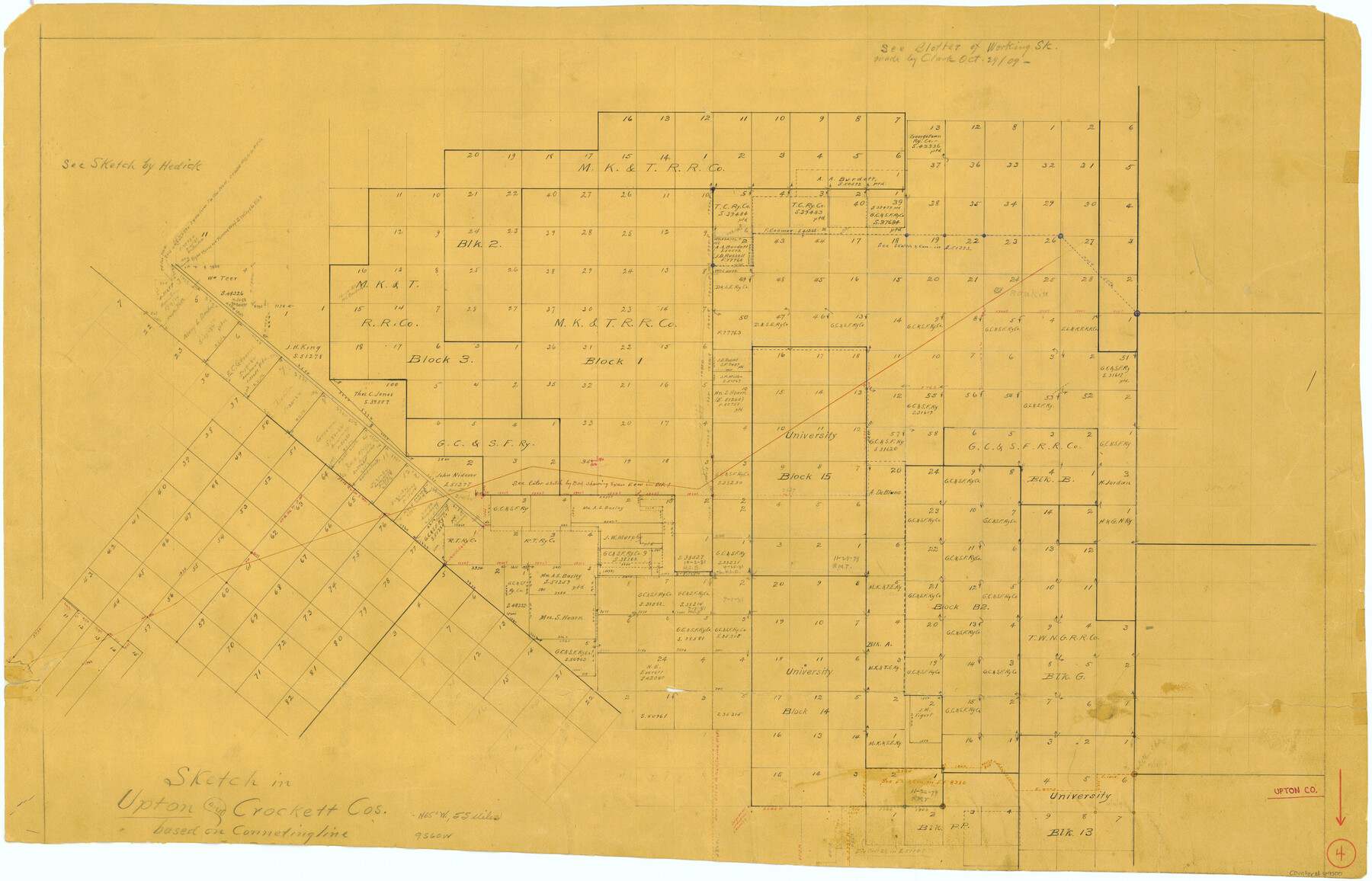
Upton County Working Sketch 4
-
Map/Doc
69500
-
Collection
General Map Collection
-
Counties
Upton Crockett
-
Subjects
Surveying Working Sketch
-
Height x Width
21.8 x 33.9 inches
55.4 x 86.1 cm
Part of: General Map Collection
Crane County Working Sketch 3

Print $20.00
- Digital $50.00
Crane County Working Sketch 3
1924
Size 36.2 x 34.4 inches
Map/Doc 68280
Haskell County Boundary File 1

Print $36.00
- Digital $50.00
Haskell County Boundary File 1
Size 8.7 x 9.0 inches
Map/Doc 54518
Flight Mission No. CGI-3N, Frame 42, Cameron County

Print $20.00
- Digital $50.00
Flight Mission No. CGI-3N, Frame 42, Cameron County
1954
Size 18.5 x 22.1 inches
Map/Doc 84548
McLennan County Sketch File 13

Print $4.00
- Digital $50.00
McLennan County Sketch File 13
1873
Size 10.7 x 8.1 inches
Map/Doc 31267
Houston County Sketch File 4

Print $24.00
- Digital $50.00
Houston County Sketch File 4
1859
Size 12.7 x 8.3 inches
Map/Doc 26751
La Salle County Sketch File 6

Print $7.00
- Digital $50.00
La Salle County Sketch File 6
1875
Size 10.0 x 8.0 inches
Map/Doc 29453
Zavala County Sketch File 36

Print $6.00
- Digital $50.00
Zavala County Sketch File 36
1889
Size 10.9 x 8.2 inches
Map/Doc 41399
Houston & Texas Central Railway Through Bastrop County

Print $20.00
- Digital $50.00
Houston & Texas Central Railway Through Bastrop County
1916
Size 21.3 x 41.6 inches
Map/Doc 64419
Angelina County Sketch File 24

Print $8.00
- Digital $50.00
Angelina County Sketch File 24
1893
Size 8.9 x 5.6 inches
Map/Doc 13065
Travis County Sketch File 4A

Print $8.00
- Digital $50.00
Travis County Sketch File 4A
1855
Size 8.4 x 11.2 inches
Map/Doc 38280
Runnels County Rolled Sketch 34

Print $20.00
- Digital $50.00
Runnels County Rolled Sketch 34
Size 30.1 x 35.1 inches
Map/Doc 7522
Flight Mission No. BRA-7M, Frame 36, Jefferson County

Print $20.00
- Digital $50.00
Flight Mission No. BRA-7M, Frame 36, Jefferson County
1953
Size 18.7 x 22.3 inches
Map/Doc 85487
You may also like
Flight Mission No. BRE-1P, Frame 35, Nueces County

Print $20.00
- Digital $50.00
Flight Mission No. BRE-1P, Frame 35, Nueces County
1956
Size 18.4 x 22.2 inches
Map/Doc 86631
Right of Way and Track Map, International & Gt. Northern Ry. operated by the International & Gt. Northern Ry. Co. Gulf Division, Mineola Branch

Print $40.00
- Digital $50.00
Right of Way and Track Map, International & Gt. Northern Ry. operated by the International & Gt. Northern Ry. Co. Gulf Division, Mineola Branch
1917
Size 25.4 x 121.1 inches
Map/Doc 64702
Wood County Rolled Sketch 2

Print $40.00
- Digital $50.00
Wood County Rolled Sketch 2
1941
Size 52.6 x 24.9 inches
Map/Doc 10160
Lipscomb County Working Sketch 1

Print $20.00
- Digital $50.00
Lipscomb County Working Sketch 1
1964
Size 30.7 x 34.1 inches
Map/Doc 70577

Crockett County Working Sketch 73

Print $20.00
- Digital $50.00
Crockett County Working Sketch 73
1963
Size 38.8 x 33.8 inches
Map/Doc 68406
Flight Mission No. CGI-4N, Frame 188, Cameron County

Print $20.00
- Digital $50.00
Flight Mission No. CGI-4N, Frame 188, Cameron County
1955
Size 18.5 x 22.3 inches
Map/Doc 84691
Val Verde County Sketch File A4

Print $10.00
- Digital $50.00
Val Verde County Sketch File A4
1897
Size 9.2 x 8.5 inches
Map/Doc 39046
Uvalde County Sketch File 15

Print $6.00
- Digital $50.00
Uvalde County Sketch File 15
1849
Size 8.8 x 11.5 inches
Map/Doc 38985
Survey of a Portion of Lot. No. 1 of Spear League

Print $20.00
- Digital $50.00
Survey of a Portion of Lot. No. 1 of Spear League
1911
Size 12.2 x 24.2 inches
Map/Doc 477
Flight Mission No. DQO-2K, Frame 150, Galveston County

Print $20.00
- Digital $50.00
Flight Mission No. DQO-2K, Frame 150, Galveston County
1952
Size 18.8 x 22.4 inches
Map/Doc 85047
Karnes County Boundary File 5b

Print $78.00
- Digital $50.00
Karnes County Boundary File 5b
Size 7.4 x 6.1 inches
Map/Doc 55723