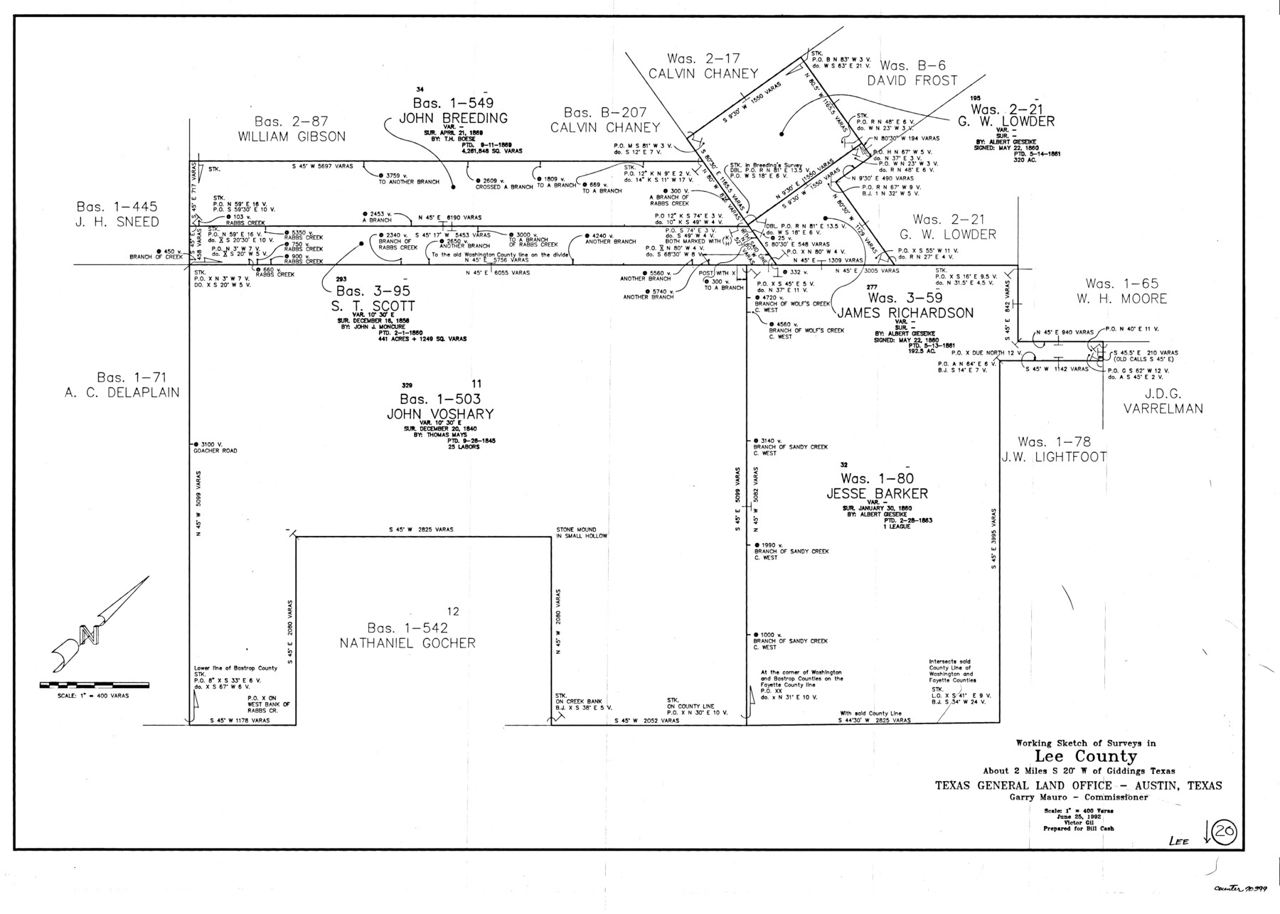
Lee County Working Sketch 20
-
Map/Doc
70399
-
Collection
General Map Collection
-
Object Dates
6/25/1992 (Creation Date)
-
People and Organizations
Victor Gil (Draftsman)
-
Counties
Lee
-
Subjects
Surveying Working Sketch
-
Height x Width
25.3 x 35.4 inches
64.3 x 89.9 cm
-
Scale
1" = 400 varas
Part of: General Map Collection
Leon County Working Sketch 39

Print $20.00
- Digital $50.00
Leon County Working Sketch 39
1980
Size 35.1 x 42.2 inches
Map/Doc 70438
Map of Galveston Bay from Lawrence Cove to Stevenson's Station

Print $20.00
- Digital $50.00
Map of Galveston Bay from Lawrence Cove to Stevenson's Station
1851
Size 41.5 x 30.0 inches
Map/Doc 69922
Jefferson County Sketch File 46

Print $20.00
- Digital $50.00
Jefferson County Sketch File 46
1933
Size 20.8 x 31.2 inches
Map/Doc 11880
Travis County Boundary File 29

Print $4.00
- Digital $50.00
Travis County Boundary File 29
Size 13.2 x 8.4 inches
Map/Doc 59467
Ward County Working Sketch 3

Print $20.00
- Digital $50.00
Ward County Working Sketch 3
1935
Size 24.1 x 27.1 inches
Map/Doc 72309
Eastland County Working Sketch 58

Print $20.00
- Digital $50.00
Eastland County Working Sketch 58
1985
Size 25.5 x 39.6 inches
Map/Doc 68839
Harris County Rolled Sketch AA3

Print $20.00
- Digital $50.00
Harris County Rolled Sketch AA3
Size 30.8 x 25.9 inches
Map/Doc 6139
Webb County Working Sketch 35

Print $40.00
- Digital $50.00
Webb County Working Sketch 35
1939
Size 54.5 x 36.2 inches
Map/Doc 72400
Louisiana and Texas Intracoastal Waterway

Print $20.00
- Digital $50.00
Louisiana and Texas Intracoastal Waterway
1939
Size 14.0 x 19.6 inches
Map/Doc 83346
Harris County Rolled Sketch 60

Print $20.00
- Digital $50.00
Harris County Rolled Sketch 60
1927
Size 27.4 x 21.3 inches
Map/Doc 6106
Brewster County Sketch File N-17

Print $80.00
- Digital $50.00
Brewster County Sketch File N-17
1939
Size 8.9 x 14.4 inches
Map/Doc 15651
Sutton County

Print $40.00
- Digital $50.00
Sutton County
1941
Size 40.9 x 54.3 inches
Map/Doc 77429
You may also like
Cooke County Boundary File 19

Print $30.00
- Digital $50.00
Cooke County Boundary File 19
Size 8.7 x 4.0 inches
Map/Doc 51858
Morris County Working Sketch 2

Print $20.00
- Digital $50.00
Morris County Working Sketch 2
1958
Size 24.7 x 21.9 inches
Map/Doc 71201
Upton County Working Sketch 28

Print $40.00
- Digital $50.00
Upton County Working Sketch 28
1956
Size 52.5 x 35.9 inches
Map/Doc 69524
Map of Orange County

Print $20.00
- Digital $50.00
Map of Orange County
1862
Size 13.6 x 16.5 inches
Map/Doc 3929
Panola County Rolled Sketch 5

Print $40.00
- Digital $50.00
Panola County Rolled Sketch 5
Size 81.0 x 33.1 inches
Map/Doc 9678
Presidio County Rolled Sketch 46

Print $20.00
- Digital $50.00
Presidio County Rolled Sketch 46
1908
Size 19.0 x 15.5 inches
Map/Doc 7342
Map of Independence Area, Washington County, Texas

Print $20.00
- Digital $50.00
Map of Independence Area, Washington County, Texas
1935
Size 18.6 x 16.5 inches
Map/Doc 92093
Pecos County Rolled Sketch 119

Print $20.00
- Digital $50.00
Pecos County Rolled Sketch 119
1945
Size 20.5 x 21.5 inches
Map/Doc 7261
Montgomery County Working Sketch 19

Print $20.00
- Digital $50.00
Montgomery County Working Sketch 19
1935
Size 31.8 x 36.6 inches
Map/Doc 71126
Zapata County Sketch File 5

Print $20.00
- Digital $50.00
Zapata County Sketch File 5
1886
Size 15.4 x 16.9 inches
Map/Doc 12719
Callahan County Working Sketch 12

Print $20.00
- Digital $50.00
Callahan County Working Sketch 12
1969
Size 25.6 x 38.5 inches
Map/Doc 67894
San Patricio County, Texas

Print $20.00
- Digital $50.00
San Patricio County, Texas
1879
Size 18.1 x 22.8 inches
Map/Doc 611