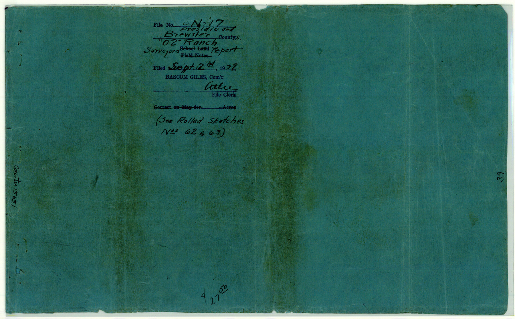
Brewster County Sketch File N-17
Report of a survey of the O2 Ranch
-
Map/Doc
15651
-
Collection
General Map Collection
-
Object Dates
1939/7/19 (Creation Date)
1939/9/2 (File Date)
-
People and Organizations
John Stovell (Surveyor/Engineer)
-
Counties
Brewster Presidio
-
Subjects
Surveying Sketch File
-
Height x Width
8.9 x 14.4 inches
22.6 x 36.6 cm
-
Medium
paper, print
-
Comments
See Brewster County Rolled Sketch 62 (8487) and Brewster County Rolled Sketch 63 (8488).
-
Features
Alpine
Terlingua Road
Santiago Peak
San Jacinto Peak
Penitos Spring
Chinati Mountains
Sharp Peak
Turney Peak
McKinney Mountain
Whirlwind Peak
Straddlebug Peak
Santiago Spring
Wilson's Ranch
Yellow Bluff
Aqua Fria Spring
Related maps
Brewster County Rolled Sketch 62

Print $40.00
- Digital $50.00
Brewster County Rolled Sketch 62
1939
Size 89.5 x 44.0 inches
Map/Doc 8487
Brewster County Rolled Sketch 63

Print $40.00
- Digital $50.00
Brewster County Rolled Sketch 63
1939
Size 77.1 x 43.6 inches
Map/Doc 8488
Part of: General Map Collection
Webb County Sketch File 11a-1

Print $27.00
- Digital $50.00
Webb County Sketch File 11a-1
1884
Size 22.2 x 9.3 inches
Map/Doc 12626
Menard County Sketch File 25A

Print $20.00
- Digital $50.00
Menard County Sketch File 25A
1936
Size 23.0 x 17.8 inches
Map/Doc 12078
Val Verde County Working Sketch 54

Print $20.00
- Digital $50.00
Val Verde County Working Sketch 54
1956
Size 24.0 x 20.4 inches
Map/Doc 72189
Terrell County Working Sketch 84b

Print $20.00
- Digital $50.00
Terrell County Working Sketch 84b
1992
Size 25.2 x 42.7 inches
Map/Doc 69606
Hartley County

Print $20.00
- Digital $50.00
Hartley County
1878
Size 19.7 x 24.4 inches
Map/Doc 3638
Chambers County Rolled Sketch 24

Print $40.00
- Digital $50.00
Chambers County Rolled Sketch 24
1940
Size 38.2 x 49.9 inches
Map/Doc 8594
Part of the boundary between the United States and Texas: north of Sabine River from the 72nd mile mound to Red River (C.2)

Print $2.00
- Digital $50.00
Part of the boundary between the United States and Texas: north of Sabine River from the 72nd mile mound to Red River (C.2)
1842
Size 12.8 x 8.3 inches
Map/Doc 65385
Flight Mission No. DQN-5K, Frame 48, Calhoun County

Print $20.00
- Digital $50.00
Flight Mission No. DQN-5K, Frame 48, Calhoun County
1953
Size 18.7 x 22.2 inches
Map/Doc 84393
Crockett County Working Sketch 28

Print $20.00
- Digital $50.00
Crockett County Working Sketch 28
1923
Size 31.4 x 24.6 inches
Map/Doc 68361
Johnson County Working Sketch 7

Print $20.00
- Digital $50.00
Johnson County Working Sketch 7
1951
Size 23.0 x 21.3 inches
Map/Doc 66620
Martin County Working Sketch 12

Print $40.00
- Digital $50.00
Martin County Working Sketch 12
1971
Size 48.2 x 35.6 inches
Map/Doc 70830
Collin County Boundary File 18 and 18a

Print $8.00
- Digital $50.00
Collin County Boundary File 18 and 18a
Size 7.8 x 4.0 inches
Map/Doc 51717
You may also like
Real County Working Sketch 53

Print $20.00
- Digital $50.00
Real County Working Sketch 53
1959
Size 29.4 x 27.9 inches
Map/Doc 71945
Navarro County

Print $40.00
- Digital $50.00
Navarro County
1924
Size 41.5 x 47.9 inches
Map/Doc 73249
Plat of 92 Surveys Containing 51,365 acres on the Main Brazos River, Texas ,Young Land District

Print $20.00
- Digital $50.00
Plat of 92 Surveys Containing 51,365 acres on the Main Brazos River, Texas ,Young Land District
1857
Size 23.4 x 31.0 inches
Map/Doc 551
[A. & B. Block A and Block M-15]
![91930, [A. & B. Block A and Block M-15], Twichell Survey Records](https://historictexasmaps.com/wmedia_w700/maps/91930-1.tif.jpg)
Print $20.00
- Digital $50.00
[A. & B. Block A and Block M-15]
Size 37.3 x 13.3 inches
Map/Doc 91930
Floyd County Sketch File 18

Print $32.00
- Digital $50.00
Floyd County Sketch File 18
1913
Size 13.4 x 9.0 inches
Map/Doc 22753
Victoria County Sketch File 7

Print $6.00
- Digital $50.00
Victoria County Sketch File 7
1908
Size 11.4 x 17.4 inches
Map/Doc 12596
United States Gulf Coast - from Galveston to the Rio Grande

Print $20.00
- Digital $50.00
United States Gulf Coast - from Galveston to the Rio Grande
1915
Size 26.6 x 18.3 inches
Map/Doc 72734
General Highway Map, Nueces County, Texas

Print $20.00
General Highway Map, Nueces County, Texas
1940
Size 24.6 x 18.4 inches
Map/Doc 79210
Nautical Chart 11332 - Intracoastal Waterway - Galveston Bay to Cedar Lakes

Print $40.00
- Digital $50.00
Nautical Chart 11332 - Intracoastal Waterway - Galveston Bay to Cedar Lakes
1984
Size 21.6 x 60.2 inches
Map/Doc 69941
Colorado River, Carancahua Sheet

Print $20.00
- Digital $50.00
Colorado River, Carancahua Sheet
1940
Size 30.7 x 38.0 inches
Map/Doc 65320
Duval County Sketch File 4b

Print $4.00
- Digital $50.00
Duval County Sketch File 4b
1874
Size 10.4 x 7.8 inches
Map/Doc 21282
The American Union Railroad Map of the United States, British Possessions, West Indies, Mexico, and Central America

Print $40.00
- Digital $50.00
The American Union Railroad Map of the United States, British Possessions, West Indies, Mexico, and Central America
1873
Size 40.2 x 58.2 inches
Map/Doc 97124