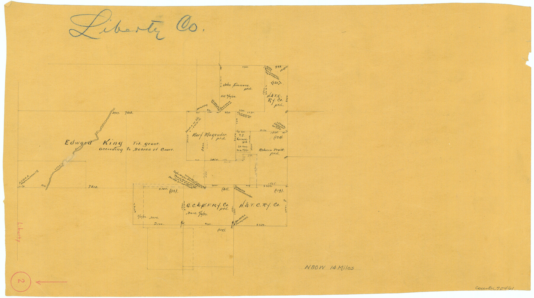
Liberty County Working Sketch 2
-
Map/Doc
70461
-
Collection
General Map Collection
-
Counties
Liberty
-
Subjects
Surveying Working Sketch
-
Height x Width
12.4 x 22.2 inches
31.5 x 56.4 cm
Part of: General Map Collection
Flight Mission No. DQN-2K, Frame 74, Calhoun County

Print $20.00
- Digital $50.00
Flight Mission No. DQN-2K, Frame 74, Calhoun County
1953
Size 18.6 x 22.2 inches
Map/Doc 84266
Presidio County Sketch File 27 1/2

Print $6.00
- Digital $50.00
Presidio County Sketch File 27 1/2
1890
Size 11.0 x 13.5 inches
Map/Doc 34466
Cameron County Rolled Sketch 24

Print $40.00
- Digital $50.00
Cameron County Rolled Sketch 24
1968
Size 30.4 x 66.7 inches
Map/Doc 8574
Controlled Mosaic by Jack Amman Photogrammetric Engineers, Inc - Sheet 36

Print $20.00
- Digital $50.00
Controlled Mosaic by Jack Amman Photogrammetric Engineers, Inc - Sheet 36
1954
Size 20.0 x 24.0 inches
Map/Doc 83489
Lipscomb County Boundary File 11

Print $8.00
- Digital $50.00
Lipscomb County Boundary File 11
Size 11.1 x 8.7 inches
Map/Doc 56347
Comal County Sketch File 21

Print $21.00
- Digital $50.00
Comal County Sketch File 21
1950
Size 9.1 x 11.4 inches
Map/Doc 19041
Red River County Working Sketch 13

Print $20.00
- Digital $50.00
Red River County Working Sketch 13
1947
Size 37.1 x 39.9 inches
Map/Doc 71996
El Paso County Working Sketch 48

Print $20.00
- Digital $50.00
El Paso County Working Sketch 48
1987
Size 32.7 x 29.4 inches
Map/Doc 69070
Gulf of Mexico

Print $20.00
- Digital $50.00
Gulf of Mexico
1908
Size 18.3 x 26.9 inches
Map/Doc 72655
Calcasieu Pass to Sabine Pass

Print $20.00
- Digital $50.00
Calcasieu Pass to Sabine Pass
1961
Size 44.6 x 35.7 inches
Map/Doc 69809
Jeff Davis County Working Sketch 7

Print $20.00
- Digital $50.00
Jeff Davis County Working Sketch 7
1938
Size 30.4 x 39.9 inches
Map/Doc 66502
West Part Presidio Co.

Print $20.00
- Digital $50.00
West Part Presidio Co.
1974
Size 43.2 x 34.3 inches
Map/Doc 95618
You may also like
Flight Mission No. CRK-3P, Frame 128, Refugio County

Print $20.00
- Digital $50.00
Flight Mission No. CRK-3P, Frame 128, Refugio County
1956
Size 18.6 x 22.4 inches
Map/Doc 86916
Texas 1986, 150 Years of Independence

Print $81.19
Texas 1986, 150 Years of Independence
1985
Size 42.0 x 46.3 inches
Map/Doc 89069
The Rand-McNally New Commercial Atlas Map of Texas

The Rand-McNally New Commercial Atlas Map of Texas
1914
Size 29.4 x 40.7 inches
Map/Doc 88745
Revised Map of West Half of Sabine Lake, Jefferson & Orange Cos., showing subdivision for mineral development

Print $40.00
- Digital $50.00
Revised Map of West Half of Sabine Lake, Jefferson & Orange Cos., showing subdivision for mineral development
1957
Size 58.9 x 42.0 inches
Map/Doc 2898
Map of East Texas Oil Field

Print $20.00
- Digital $50.00
Map of East Texas Oil Field
1933
Size 16.5 x 17.8 inches
Map/Doc 93949
Lynn County Sketch File 22

Print $2.00
- Digital $50.00
Lynn County Sketch File 22
1994
Size 11.1 x 8.8 inches
Map/Doc 30553
Trinity County Sketch File 23

Print $26.00
- Digital $50.00
Trinity County Sketch File 23
1861
Size 6.9 x 8.3 inches
Map/Doc 38552
Location of the Southern Kansas Railway of Texas through Hemphill County, Texas

Print $40.00
- Digital $50.00
Location of the Southern Kansas Railway of Texas through Hemphill County, Texas
1887
Size 20.1 x 104.9 inches
Map/Doc 64034
Moore County Working Sketch 7

Print $20.00
- Digital $50.00
Moore County Working Sketch 7
1939
Size 10.8 x 17.8 inches
Map/Doc 71189
Fort Bend County Working Sketch 26

Print $20.00
- Digital $50.00
Fort Bend County Working Sketch 26
1982
Size 18.5 x 23.6 inches
Map/Doc 69232
Wichita County Rolled Sketch 11

Print $20.00
- Digital $50.00
Wichita County Rolled Sketch 11
Size 20.8 x 18.6 inches
Map/Doc 8248
Jeff Davis County Working Sketch 48

Print $20.00
- Digital $50.00
Jeff Davis County Working Sketch 48
1997
Size 35.6 x 28.7 inches
Map/Doc 66543