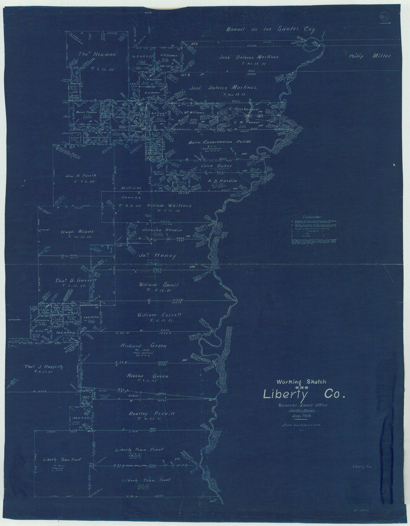
Liberty County Working Sketch 8
-
Map/Doc
70467
-
Collection
General Map Collection
-
Object Dates
8/1906 (Creation Date)
-
Counties
Liberty
-
Subjects
Surveying Working Sketch
-
Height x Width
42.4 x 33.1 inches
107.7 x 84.1 cm
-
Scale
1" = 1000 varas
Part of: General Map Collection
Lipscomb County Working Sketch 5

Print $20.00
- Digital $50.00
Lipscomb County Working Sketch 5
1977
Size 26.8 x 30.0 inches
Map/Doc 70581
Travis County Sketch File 65

Print $4.00
- Digital $50.00
Travis County Sketch File 65
1948
Size 9.1 x 9.1 inches
Map/Doc 38438
Houston County Working Sketch 9

Print $20.00
- Digital $50.00
Houston County Working Sketch 9
1939
Size 28.9 x 31.3 inches
Map/Doc 66239
Nueces County Rolled Sketch 60

Print $40.00
- Digital $50.00
Nueces County Rolled Sketch 60
Size 95.5 x 32.3 inches
Map/Doc 9607
Navigation Maps of Gulf Intracoastal Waterway, Port Arthur to Brownsville, Texas

Print $4.00
- Digital $50.00
Navigation Maps of Gulf Intracoastal Waterway, Port Arthur to Brownsville, Texas
1951
Size 16.8 x 21.5 inches
Map/Doc 65437
Bexar County Working Sketch 9

Print $20.00
- Digital $50.00
Bexar County Working Sketch 9
1956
Size 23.4 x 21.6 inches
Map/Doc 67325

Flight Mission No. DQO-1K, Frame 151, Galveston County

Print $20.00
- Digital $50.00
Flight Mission No. DQO-1K, Frame 151, Galveston County
1952
Size 18.8 x 22.5 inches
Map/Doc 85004
Motley County Boundary File 2c

Print $34.00
- Digital $50.00
Motley County Boundary File 2c
Size 14.2 x 8.7 inches
Map/Doc 57533
[The S.K. Ry. of Texas, State Line to Pecos, Reeves Co., Texas]
![64160, [The S.K. Ry. of Texas, State Line to Pecos, Reeves Co., Texas], General Map Collection](https://historictexasmaps.com/wmedia_w700/maps/64160.tif.jpg)
Print $40.00
- Digital $50.00
[The S.K. Ry. of Texas, State Line to Pecos, Reeves Co., Texas]
1910
Size 19.5 x 119.7 inches
Map/Doc 64160
Comanche County Working Sketch 18

Print $20.00
- Digital $50.00
Comanche County Working Sketch 18
1973
Size 18.3 x 25.2 inches
Map/Doc 68152
Val Verde County Sketch File Z16

Print $20.00
- Digital $50.00
Val Verde County Sketch File Z16
1905
Size 21.4 x 20.9 inches
Map/Doc 12557
You may also like
Garza County Sketch File 20

Print $20.00
- Digital $50.00
Garza County Sketch File 20
1905
Size 8.7 x 7.8 inches
Map/Doc 24068
General Highway Map, Terrell County, Texas

Print $20.00
General Highway Map, Terrell County, Texas
1961
Size 24.9 x 18.2 inches
Map/Doc 79674
San Patricio County Sketch File 19

Print $2.00
San Patricio County Sketch File 19
Size 8.0 x 10.5 inches
Map/Doc 36068
Comal County Working Sketch 18

Print $20.00
- Digital $50.00
Comal County Working Sketch 18
2000
Size 32.0 x 31.7 inches
Map/Doc 68182
Collingsworth County Working Sketch 1

Print $20.00
- Digital $50.00
Collingsworth County Working Sketch 1
1939
Size 43.0 x 32.8 inches
Map/Doc 68089
Flight Mission No. DIX-8P, Frame 96, Aransas County

Print $20.00
- Digital $50.00
Flight Mission No. DIX-8P, Frame 96, Aransas County
1956
Size 18.4 x 22.2 inches
Map/Doc 83921
Borden County Rolled Sketch 7

Print $20.00
- Digital $50.00
Borden County Rolled Sketch 7
Size 16.9 x 18.5 inches
Map/Doc 5157

The Judicial District/County of Burleson. Created, January 15, 1842

Print $20.00
The Judicial District/County of Burleson. Created, January 15, 1842
2020
Size 14.1 x 21.7 inches
Map/Doc 96320
La Salle County Sketch File 9

Print $4.00
- Digital $50.00
La Salle County Sketch File 9
Size 6.3 x 8.3 inches
Map/Doc 29458
Motley County Sketch File 1 (S)

Print $22.00
- Digital $50.00
Motley County Sketch File 1 (S)
1879
Size 9.0 x 14.3 inches
Map/Doc 32139
Lee County Working Sketch 17

Print $20.00
- Digital $50.00
Lee County Working Sketch 17
1988
Size 31.8 x 32.2 inches
Map/Doc 70396