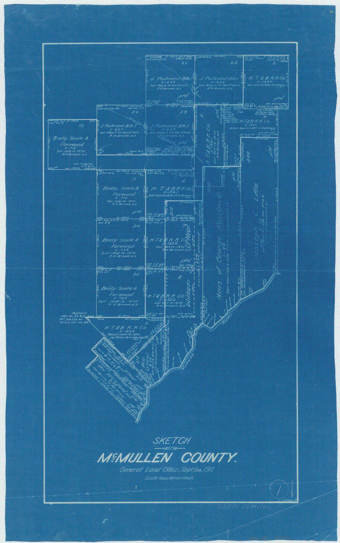
McMullen County Working Sketch 1
-
Map/Doc
70702
-
Collection
General Map Collection
-
Object Dates
9/6/1911 (Creation Date)
-
People and Organizations
L. Ehlinger (Draftsman)
-
Counties
McMullen
-
Subjects
Surveying Working Sketch
-
Height x Width
20.9 x 13.1 inches
53.1 x 33.3 cm
-
Scale
1" = 1000 varas
Part of: General Map Collection
Navarro County

Print $40.00
- Digital $50.00
Navarro County
1924
Size 42.5 x 50.6 inches
Map/Doc 66951
Erath County Rolled Sketch 3A

Print $20.00
- Digital $50.00
Erath County Rolled Sketch 3A
1982
Size 21.7 x 27.8 inches
Map/Doc 5865
Shelby County Working Sketch 35

Print $20.00
- Digital $50.00
Shelby County Working Sketch 35
2010
Size 27.4 x 28.3 inches
Map/Doc 89285
Crockett County Working Sketch 74

Print $20.00
- Digital $50.00
Crockett County Working Sketch 74
1964
Size 29.4 x 22.1 inches
Map/Doc 68407
[Map of Burnet County]
![4512, [Map of Burnet County], General Map Collection](https://historictexasmaps.com/wmedia_w700/maps/4512-2.tif.jpg)
Print $20.00
- Digital $50.00
[Map of Burnet County]
1856
Size 26.3 x 23.1 inches
Map/Doc 4512
Flight Mission No. CRE-1R, Frame 195, Jackson County

Print $20.00
- Digital $50.00
Flight Mission No. CRE-1R, Frame 195, Jackson County
1956
Size 18.6 x 22.3 inches
Map/Doc 85349
Potter County Sketch File 5

Print $20.00
- Digital $50.00
Potter County Sketch File 5
1890
Size 14.1 x 8.8 inches
Map/Doc 34387
Map of Hemisfair '68 and Downtown San Antonio compliments of the Pearl Brewing Company

Print $3.00
- Digital $50.00
Map of Hemisfair '68 and Downtown San Antonio compliments of the Pearl Brewing Company
1968
Size 5.9 x 11.3 inches
Map/Doc 94792
Montgomery County

Print $20.00
- Digital $50.00
Montgomery County
1901
Size 42.2 x 47.4 inches
Map/Doc 66939
Edwards County Working Sketch 63

Print $20.00
- Digital $50.00
Edwards County Working Sketch 63
1955
Size 32.5 x 46.4 inches
Map/Doc 68939
Williamson County Sketch File 20

Print $4.00
- Digital $50.00
Williamson County Sketch File 20
Size 8.2 x 12.9 inches
Map/Doc 40348
Jackson County Sketch File 12a

Print $40.00
- Digital $50.00
Jackson County Sketch File 12a
Size 17.4 x 14.4 inches
Map/Doc 27658
You may also like
Duval County Working Sketch 22

Print $20.00
- Digital $50.00
Duval County Working Sketch 22
1942
Size 21.9 x 26.0 inches
Map/Doc 68746
[Map of the Recognised Line M. EL. P. & P. R. R. from East Line of Bexar Land District to El Paso]
![85323, [Map of the Recognised Line M. EL. P. & P. R. R. from East Line of Bexar Land District to El Paso], General Map Collection](https://historictexasmaps.com/wmedia_w700/maps/85323.tif.jpg)
Print $40.00
- Digital $50.00
[Map of the Recognised Line M. EL. P. & P. R. R. from East Line of Bexar Land District to El Paso]
1857
Size 56.9 x 20.0 inches
Map/Doc 85323

Limestone County Working Sketch 3

Print $20.00
- Digital $50.00
Limestone County Working Sketch 3
1919
Size 28.9 x 28.5 inches
Map/Doc 70553
United States Atlantic and Gulf Coasts Including Puerto Rico and the Virgin Islands

Print $40.00
- Digital $50.00
United States Atlantic and Gulf Coasts Including Puerto Rico and the Virgin Islands
1992
Size 21.6 x 60.4 inches
Map/Doc 76124
[Blocks JB, SI, K3, A, and S4]
![90776, [Blocks JB, SI, K3, A, and S4], Twichell Survey Records](https://historictexasmaps.com/wmedia_w700/maps/90776-1.tif.jpg)
Print $20.00
- Digital $50.00
[Blocks JB, SI, K3, A, and S4]
Size 23.6 x 15.2 inches
Map/Doc 90776


Brewster County Sketch File 44

Print $3.00
- Digital $50.00
Brewster County Sketch File 44
Size 11.5 x 9.4 inches
Map/Doc 16311
El Paso County Sketch File 42

Print $16.00
- Digital $50.00
El Paso County Sketch File 42
1996
Size 14.3 x 8.9 inches
Map/Doc 22241
Harris County Sketch File 49

Print $10.00
- Digital $50.00
Harris County Sketch File 49
1908
Size 11.4 x 9.0 inches
Map/Doc 25446
Wharton County

Print $20.00
- Digital $50.00
Wharton County
1946
Size 41.4 x 46.9 inches
Map/Doc 77455