[Map of Burnet County]
Burnet County Sketch File 45
-
Map/Doc
4512
-
Collection
General Map Collection
-
Object Dates
1856 (Creation Date)
8/15/1856 (File Date)
-
Counties
Burnet
-
Subjects
County
-
Height x Width
26.3 x 23.1 inches
66.8 x 58.7 cm
-
Medium
paper, manuscript
-
Scale
1" = 4000 varas
-
Features
Horseyhoe [sic] Creek
Bear Creek
Honey Creek
Delaware Creek
Harstone Creek
Rio Llano
Spare Rib Creek
Bakbone [sic] Creek
Slick Rock Creek
South Fork of San Gabriel River
Flat Rock Creek
Double Horn Creek
Love Creek
Little Cypress Creek
Deep Creek
Walnut Creek
Cypress Creek
North Fork of San Gabriel River
Lampasas River
Mesquite Creek
Deer Creek
Rocky Creek
Road to the Mouth of the San Saba River and Phantom Hill
Road to the mouth of the San Saba River
Road to Phantom Hill
Saline Road
Salt Fork of Lampasas River
Hamilton
Colorado River
Spring Creek
Fort Mason Road
Webster Creek
Tar Spring
Haybranch Creek
Part of: General Map Collection
Flight Mission No. DAG-18K, Frame 184, Matagorda County


Print $20.00
- Digital $50.00
Flight Mission No. DAG-18K, Frame 184, Matagorda County
1952
Size 18.6 x 22.4 inches
Map/Doc 86376
Map showing the Distribution of Slaves in the Southern States


Print $20.00
- Digital $50.00
Map showing the Distribution of Slaves in the Southern States
1861
Size 15.2 x 18.3 inches
Map/Doc 96634
Moore County Rolled Sketch 14A


Print $20.00
- Digital $50.00
Moore County Rolled Sketch 14A
1981
Size 21.8 x 27.5 inches
Map/Doc 6831
Real County Rolled Sketch 9


Print $20.00
- Digital $50.00
Real County Rolled Sketch 9
1967
Size 33.4 x 40.6 inches
Map/Doc 9834
Newton County Working Sketch 16
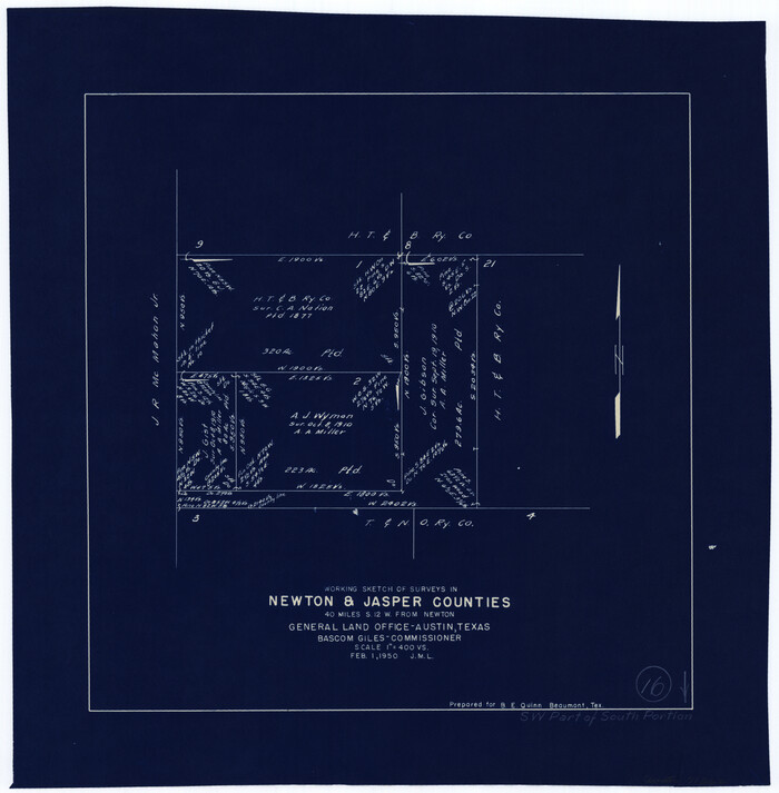

Print $20.00
- Digital $50.00
Newton County Working Sketch 16
1950
Size 15.8 x 15.5 inches
Map/Doc 71262
Harris County Working Sketch 42
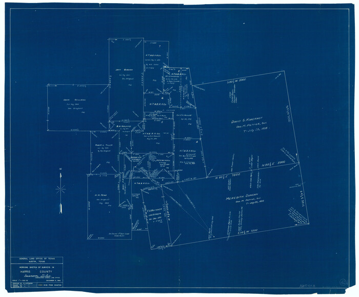

Print $20.00
- Digital $50.00
Harris County Working Sketch 42
1940
Size 31.8 x 38.5 inches
Map/Doc 65934
Kaufman County Sketch File 14
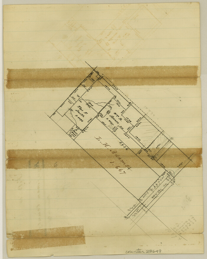

Print $4.00
- Digital $50.00
Kaufman County Sketch File 14
Size 10.1 x 8.1 inches
Map/Doc 28649
Cameron County Rolled Sketch 33
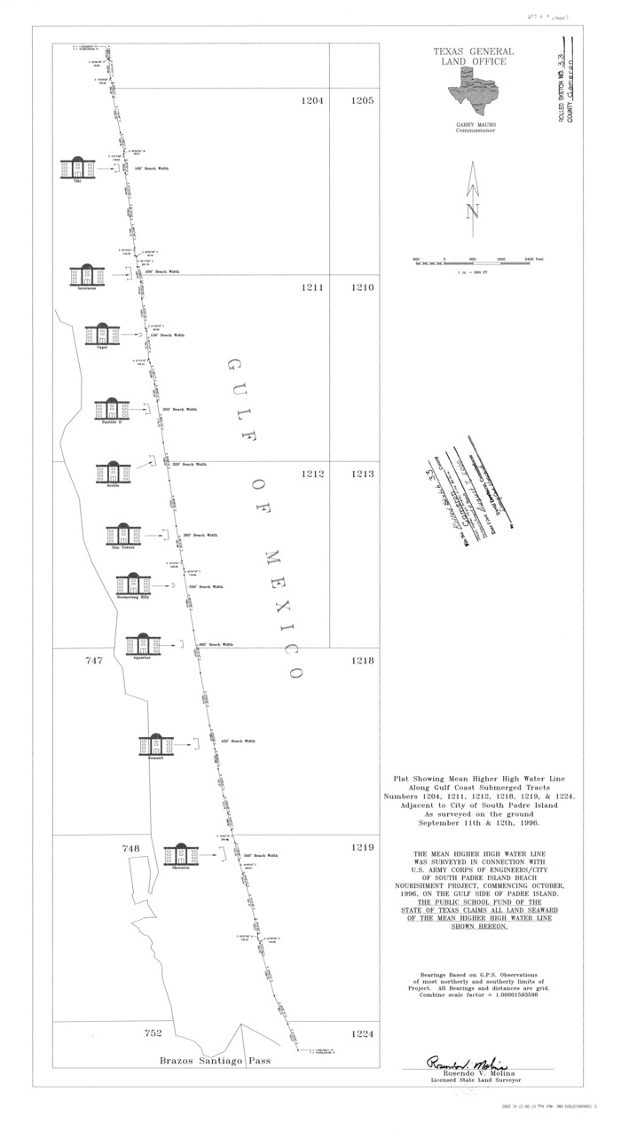

Print $20.00
- Digital $50.00
Cameron County Rolled Sketch 33
1996
Size 40.2 x 21.9 inches
Map/Doc 5396
Smith County Rolled Sketch 6C
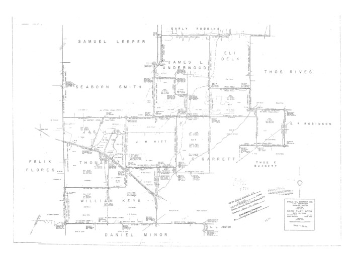

Print $20.00
- Digital $50.00
Smith County Rolled Sketch 6C
1943
Size 25.7 x 34.4 inches
Map/Doc 10701
Culberson County Working Sketch 81
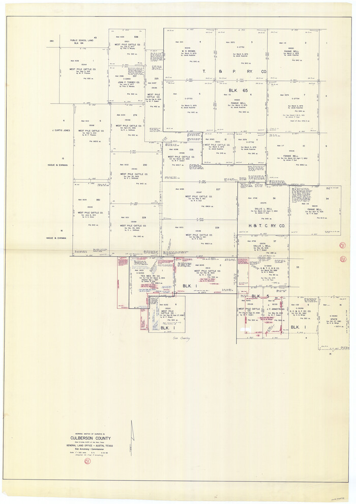

Print $40.00
- Digital $50.00
Culberson County Working Sketch 81
1980
Size 61.5 x 43.5 inches
Map/Doc 68535
Right of Way and Track Map Texas & New Orleans R.R. Co. operated by the T. & N. O. R.R. Co. Dallas-Sabine Branch
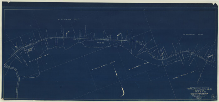

Print $40.00
- Digital $50.00
Right of Way and Track Map Texas & New Orleans R.R. Co. operated by the T. & N. O. R.R. Co. Dallas-Sabine Branch
1918
Size 26.4 x 56.7 inches
Map/Doc 64157
Cooke County Boundary File 19


Print $30.00
- Digital $50.00
Cooke County Boundary File 19
Size 8.7 x 4.0 inches
Map/Doc 51858
You may also like
Limestone County Rolled Sketch 4
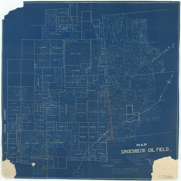

Print $20.00
- Digital $50.00
Limestone County Rolled Sketch 4
1921
Size 35.1 x 35.1 inches
Map/Doc 9573
Polk County Working Sketch 35
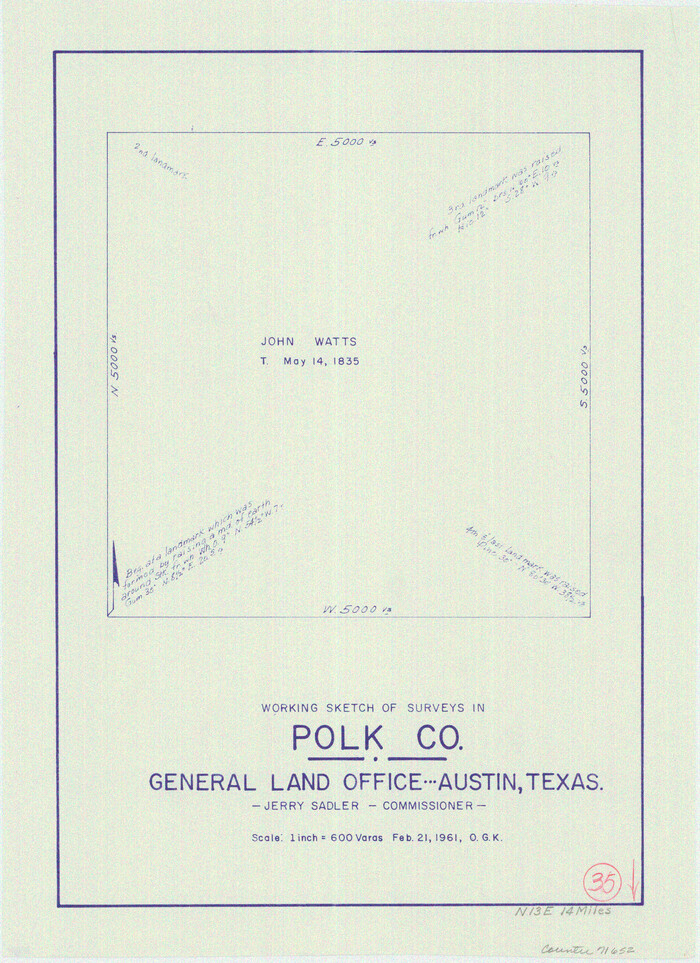

Print $20.00
- Digital $50.00
Polk County Working Sketch 35
1961
Size 16.7 x 12.1 inches
Map/Doc 71652
Right of Way & Track Map San Antonio & Aransas Pass Railway Co.
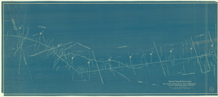

Print $40.00
- Digital $50.00
Right of Way & Track Map San Antonio & Aransas Pass Railway Co.
1919
Size 24.8 x 55.8 inches
Map/Doc 64038
Harris County Working Sketch 4
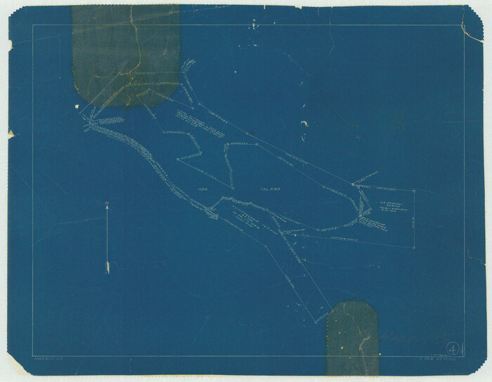

Print $20.00
- Digital $50.00
Harris County Working Sketch 4
Size 20.7 x 26.6 inches
Map/Doc 65896
[T. & P. Blocks 43-44, Townships 1S, 2S and 1N]
![90830, [T. & P. Blocks 43-44, Townships 1S, 2S and 1N], Twichell Survey Records](https://historictexasmaps.com/wmedia_w700/maps/90830-2.tif.jpg)
![90830, [T. & P. Blocks 43-44, Townships 1S, 2S and 1N], Twichell Survey Records](https://historictexasmaps.com/wmedia_w700/maps/90830-2.tif.jpg)
Print $20.00
- Digital $50.00
[T. & P. Blocks 43-44, Townships 1S, 2S and 1N]
Size 18.8 x 22.6 inches
Map/Doc 90830
Kendall County Boundary File 2a
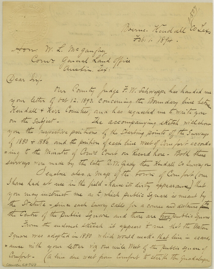

Print $12.00
- Digital $50.00
Kendall County Boundary File 2a
Size 10.0 x 7.9 inches
Map/Doc 55748
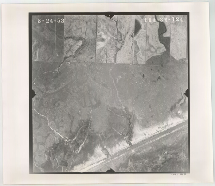
Flight Mission No. BRA-3M, Frame 124, Jefferson County

Print $20.00
- Digital $50.00
Flight Mission No. BRA-3M, Frame 124, Jefferson County
1953
Size 18.6 x 21.4 inches
Map/Doc 85398
Menard County Rolled Sketch 16


Print $20.00
- Digital $50.00
Menard County Rolled Sketch 16
1983
Size 29.8 x 36.6 inches
Map/Doc 6762
[Sketch of part of G. & M. Block 5, G. & M. Block 4, Block M19 and Block 21W]
![93113, [Sketch of part of G. & M. Block 5, G. & M. Block 4, Block M19 and Block 21W], Twichell Survey Records](https://historictexasmaps.com/wmedia_w700/maps/93113-1.tif.jpg)
![93113, [Sketch of part of G. & M. Block 5, G. & M. Block 4, Block M19 and Block 21W], Twichell Survey Records](https://historictexasmaps.com/wmedia_w700/maps/93113-1.tif.jpg)
Print $20.00
- Digital $50.00
[Sketch of part of G. & M. Block 5, G. & M. Block 4, Block M19 and Block 21W]
Size 22.0 x 17.0 inches
Map/Doc 93113
Map of Mexico, including Yucatan & Upper California, exhibiting the chief cities and towns, the principal travelling routes &c.


Print $20.00
- Digital $50.00
Map of Mexico, including Yucatan & Upper California, exhibiting the chief cities and towns, the principal travelling routes &c.
1847
Size 33.5 x 24.7 inches
Map/Doc 93936
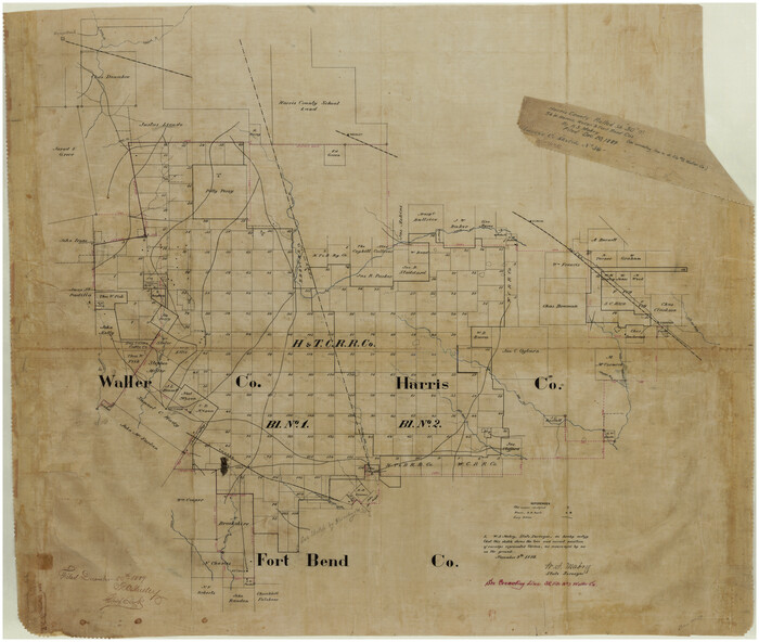
Harris County Rolled Sketch 30

Print $20.00
- Digital $50.00
Harris County Rolled Sketch 30
1889
Size 30.4 x 35.1 inches
Map/Doc 6096
Jefferson County Rolled Sketch 43


Print $40.00
- Digital $50.00
Jefferson County Rolled Sketch 43
1957
Size 50.1 x 18.2 inches
Map/Doc 9303
![4512, [Map of Burnet County], General Map Collection](https://historictexasmaps.com/wmedia_w1800h1800/maps/4512-2.tif.jpg)