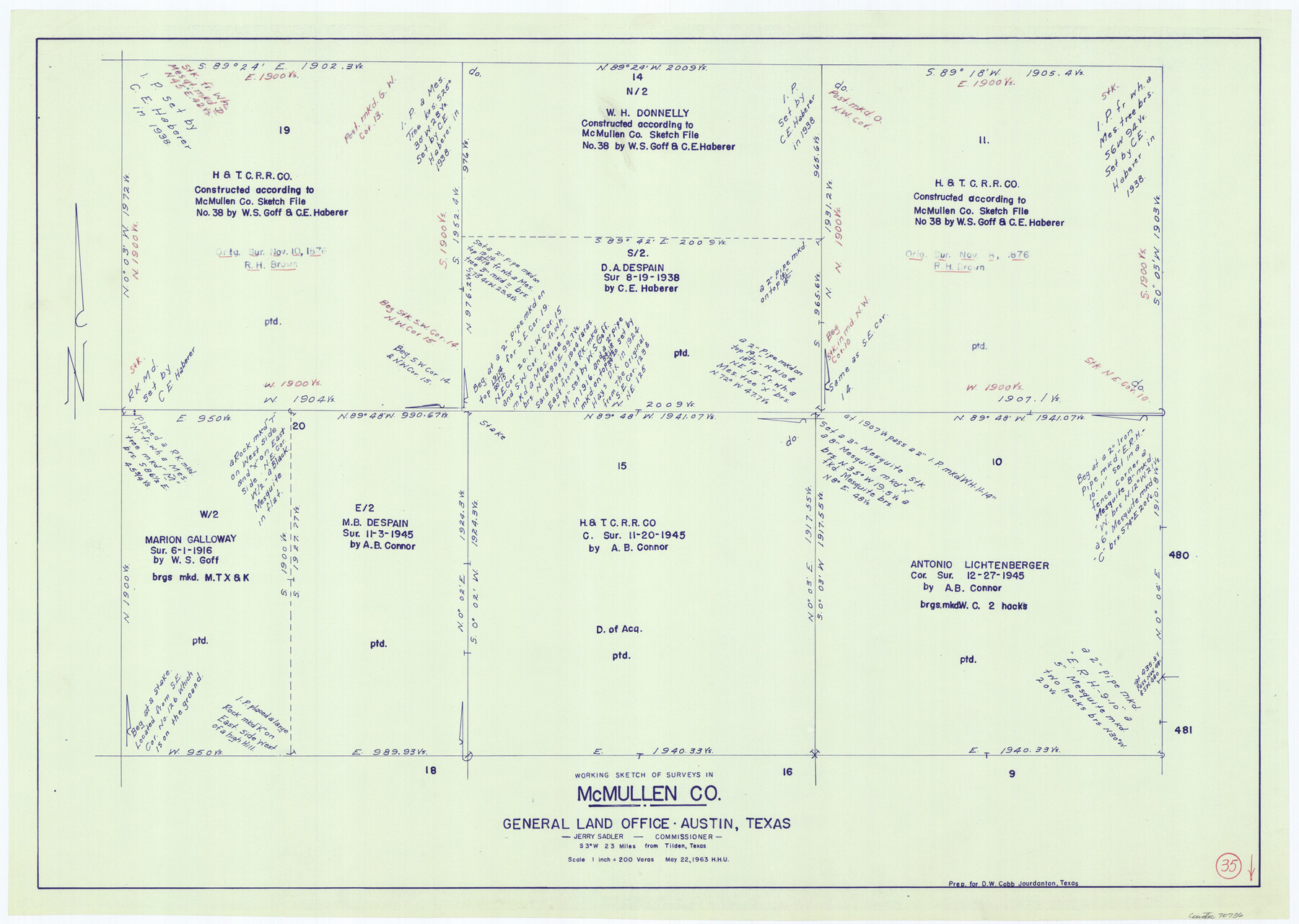
McMullen County Working Sketch 35
-
Map/Doc
70736
-
Collection
General Map Collection
-
Object Dates
5/22/1963 (Creation Date)
-
People and Organizations
Herbert H. Ulbricht (Draftsman)
-
Counties
McMullen
-
Subjects
Surveying Working Sketch
-
Height x Width
25.8 x 36.3 inches
65.5 x 92.2 cm
-
Scale
1" = 200 varas
Part of: General Map Collection
Schleicher County Working Sketch 6

Print $20.00
- Digital $50.00
Schleicher County Working Sketch 6
1917
Size 24.6 x 19.3 inches
Map/Doc 63808
Webb County Sketch File 8c

Print $4.00
- Digital $50.00
Webb County Sketch File 8c
1877
Size 12.7 x 8.2 inches
Map/Doc 39759
Cherokee County Sketch File 15

Print $6.00
- Digital $50.00
Cherokee County Sketch File 15
Size 12.4 x 8.0 inches
Map/Doc 18149
Young County Sketch File 9a

Print $4.00
- Digital $50.00
Young County Sketch File 9a
1875
Size 12.9 x 8.3 inches
Map/Doc 40866
Reagan County Working Sketch 33

Print $40.00
- Digital $50.00
Reagan County Working Sketch 33
1965
Size 66.2 x 42.0 inches
Map/Doc 71875
Bosque County Working Sketch 15

Print $20.00
- Digital $50.00
Bosque County Working Sketch 15
1963
Size 29.3 x 30.5 inches
Map/Doc 67448
Reeves County Sketch File 22

Print $4.00
- Digital $50.00
Reeves County Sketch File 22
Size 14.3 x 8.7 inches
Map/Doc 35220
Lampasas County Sketch File 16 1/2

Print $4.00
- Digital $50.00
Lampasas County Sketch File 16 1/2
Size 8.4 x 8.6 inches
Map/Doc 29428
Dallas County Boundary File 8 and 8a

Print $16.00
- Digital $50.00
Dallas County Boundary File 8 and 8a
Size 11.3 x 8.6 inches
Map/Doc 52304
Reagan County Working Sketch 23

Print $40.00
- Digital $50.00
Reagan County Working Sketch 23
1957
Size 25.0 x 60.1 inches
Map/Doc 71865
Chambers County NRC Article 33.136 Sketch 10

Print $44.00
- Digital $50.00
Chambers County NRC Article 33.136 Sketch 10
2014
Size 24.0 x 36.0 inches
Map/Doc 94498
Liberty County Rolled Sketch G

Print $20.00
- Digital $50.00
Liberty County Rolled Sketch G
Size 25.7 x 25.2 inches
Map/Doc 6622
You may also like
Americae Nova Descriptio

Print $20.00
- Digital $50.00
Americae Nova Descriptio
1652
Size 19.7 x 23.5 inches
Map/Doc 95370
Upton County Rolled Sketch 54

Print $20.00
- Digital $50.00
Upton County Rolled Sketch 54
Size 23.5 x 35.6 inches
Map/Doc 8089
Lampasas County Boundary File 16a

Print $28.00
- Digital $50.00
Lampasas County Boundary File 16a
Size 13.9 x 8.4 inches
Map/Doc 56223
[County table portion of 1879 State of Texas map by Pressler & Langermann]
![3102, [County table portion of 1879 State of Texas map by Pressler & Langermann], General Map Collection](https://historictexasmaps.com/wmedia_w700/maps/3102-1.tif.jpg)
Print $20.00
- Digital $50.00
[County table portion of 1879 State of Texas map by Pressler & Langermann]
1879
Size 15.0 x 23.6 inches
Map/Doc 3102
Hale County Sketch File 11

Print $8.00
- Digital $50.00
Hale County Sketch File 11
1899
Size 11.1 x 8.5 inches
Map/Doc 24739
Carta General de la República Mexicana Formada en vista de los datos mas recientes y exactos que se han reunido con tal objeto, y constan en la noticia presentada al Exmo. Sr. Ministro de Fomento, por Antonio García y Cubas

Print $20.00
- Digital $50.00
Carta General de la República Mexicana Formada en vista de los datos mas recientes y exactos que se han reunido con tal objeto, y constan en la noticia presentada al Exmo. Sr. Ministro de Fomento, por Antonio García y Cubas
Size 23.3 x 29.2 inches
Map/Doc 95824
Duval County Sketch File 13

Print $4.00
- Digital $50.00
Duval County Sketch File 13
1876
Size 8.5 x 10.3 inches
Map/Doc 21306
Travis County Working Sketch 37

Print $20.00
- Digital $50.00
Travis County Working Sketch 37
1968
Size 12.5 x 12.1 inches
Map/Doc 69421
Runnels County Sketch File 13

Print $2.00
Runnels County Sketch File 13
Size 8.0 x 6.2 inches
Map/Doc 35456
Mexico & Guatimala with the Republic of Texas

Print $20.00
- Digital $50.00
Mexico & Guatimala with the Republic of Texas
1838
Size 19.3 x 22.6 inches
Map/Doc 94078
Andrews County Working Sketch 31

Print $20.00
- Digital $50.00
Andrews County Working Sketch 31
1990
Size 42.9 x 30.0 inches
Map/Doc 67077
