[County table portion of 1879 State of Texas map by Pressler & Langermann]
N-2-103
-
Map/Doc
3102
-
Collection
General Map Collection
-
Object Dates
1879 (Creation Date)
-
People and Organizations
Chas. W. Pressler (Compiler)
A.B. Langermann (Compiler)
-
Subjects
State of Texas
-
Height x Width
15.0 x 23.6 inches
38.1 x 59.9 cm
Part of: General Map Collection
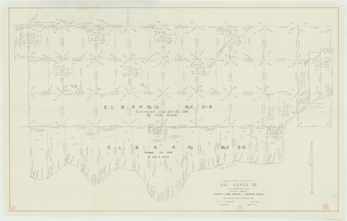
Val Verde County Working Sketch 75

Print $40.00
- Digital $50.00
Val Verde County Working Sketch 75
1971
Size 31.4 x 49.2 inches
Map/Doc 72210
Brewster County Rolled Sketch 74


Print $20.00
- Digital $50.00
Brewster County Rolled Sketch 74
1941
Size 22.8 x 15.8 inches
Map/Doc 5240
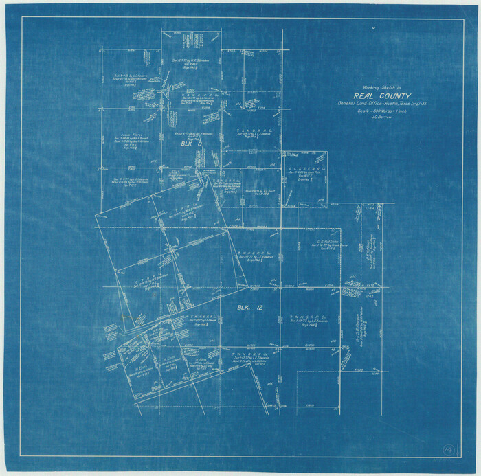
Real County Working Sketch 14

Print $20.00
- Digital $50.00
Real County Working Sketch 14
1933
Size 30.2 x 30.5 inches
Map/Doc 71906
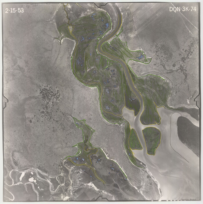
Flight Mission No. DQN-3K, Frame 74, Calhoun County

Print $20.00
- Digital $50.00
Flight Mission No. DQN-3K, Frame 74, Calhoun County
1953
Size 16.2 x 16.1 inches
Map/Doc 84365
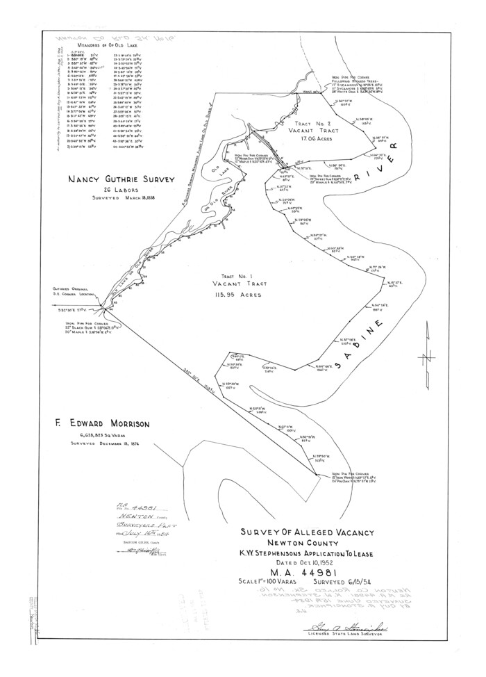
Newton County Rolled Sketch 16

Print $20.00
- Digital $50.00
Newton County Rolled Sketch 16
Size 30.5 x 21.9 inches
Map/Doc 6846
Duval County Working Sketch 15
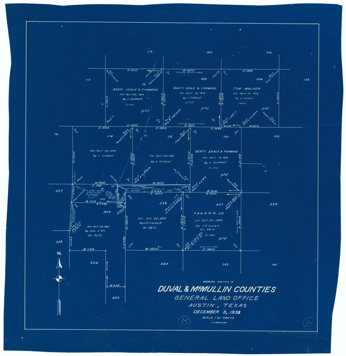

Print $20.00
- Digital $50.00
Duval County Working Sketch 15
1938
Size 23.3 x 22.7 inches
Map/Doc 68728
Val Verde County Sketch File Z6
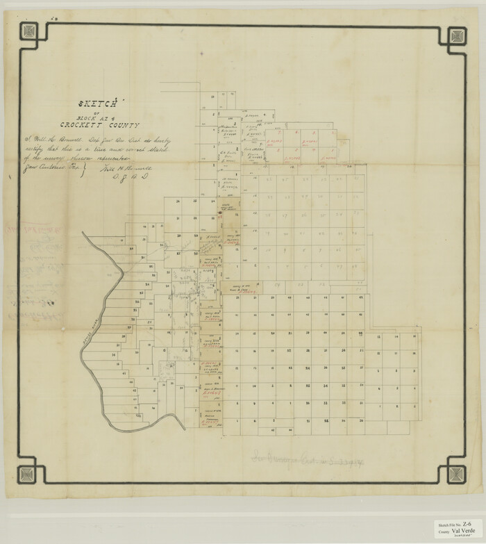

Print $20.00
- Digital $50.00
Val Verde County Sketch File Z6
Size 29.3 x 26.2 inches
Map/Doc 10425
Hays County Sketch File 34


Print $15.00
- Digital $50.00
Hays County Sketch File 34
1954
Size 14.3 x 8.9 inches
Map/Doc 26270
State of Texas, Plate 1: Surface-Water Development, Exisiting Reservoirs and Reservoir Sites


Print $20.00
- Digital $50.00
State of Texas, Plate 1: Surface-Water Development, Exisiting Reservoirs and Reservoir Sites
1984
Size 17.8 x 18.1 inches
Map/Doc 3128
Zapata County Working Sketch 24


Print $20.00
- Digital $50.00
Zapata County Working Sketch 24
1992
Size 28.2 x 23.9 inches
Map/Doc 62075
Montgomery County Working Sketch 41


Print $20.00
- Digital $50.00
Montgomery County Working Sketch 41
1955
Size 22.9 x 23.6 inches
Map/Doc 71148
Panola County Working Sketch 23


Print $20.00
- Digital $50.00
Panola County Working Sketch 23
1951
Map/Doc 71432
You may also like
Nueces County Sketch File 78
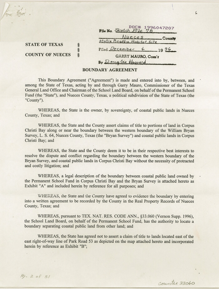

Print $72.00
- Digital $50.00
Nueces County Sketch File 78
1996
Size 11.1 x 8.4 inches
Map/Doc 33060
Nuevo Mapa Geographico de la America Septentrional, Perteneciente al Virreynato de Mexico


Print $20.00
- Digital $50.00
Nuevo Mapa Geographico de la America Septentrional, Perteneciente al Virreynato de Mexico
1768
Size 23.1 x 30.3 inches
Map/Doc 93835
Blocks 17, 18 & 19, Capitol Syndicate Subdivision of Capitol Land Reservation Leagues of Portions of Leagues Number 16, 6, 7, 8, 9, 11, 12, 13, 14, 17, 18. 19, 20, 21, 22, 38, 39, 40, 41, 42, 43, 44, 45 and 46
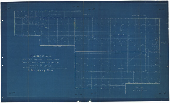

Print $40.00
- Digital $50.00
Blocks 17, 18 & 19, Capitol Syndicate Subdivision of Capitol Land Reservation Leagues of Portions of Leagues Number 16, 6, 7, 8, 9, 11, 12, 13, 14, 17, 18. 19, 20, 21, 22, 38, 39, 40, 41, 42, 43, 44, 45 and 46
Size 50.5 x 30.9 inches
Map/Doc 89686
Lamar County Boundary File 56
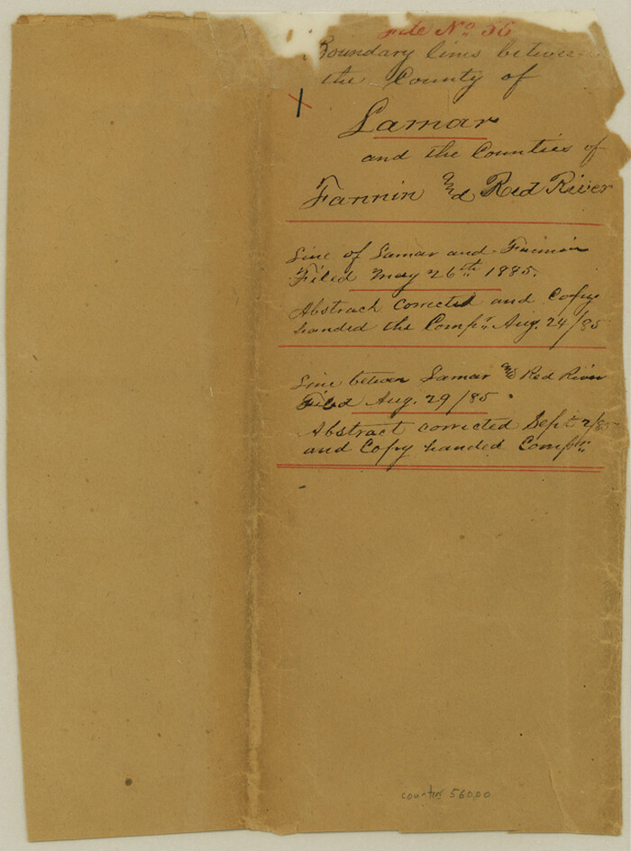

Print $60.00
- Digital $50.00
Lamar County Boundary File 56
Size 8.7 x 6.4 inches
Map/Doc 56000
Right of Way and Track Map Houston & Texas Central R.R. operated by the T. and N. O. R.R. Co., Fort Worth Branch


Print $40.00
- Digital $50.00
Right of Way and Track Map Houston & Texas Central R.R. operated by the T. and N. O. R.R. Co., Fort Worth Branch
1918
Size 30.7 x 56.4 inches
Map/Doc 64542
Harris County Sketch File 99


Print $10.00
- Digital $50.00
Harris County Sketch File 99
1896
Size 14.5 x 8.9 inches
Map/Doc 25669
[Surveys between the Sabine and Red Rivers made for titles under Radford Berry, Commissioner]
![14, [Surveys between the Sabine and Red Rivers made for titles under Radford Berry, Commissioner], General Map Collection](https://historictexasmaps.com/wmedia_w700/maps/14.tif.jpg)
![14, [Surveys between the Sabine and Red Rivers made for titles under Radford Berry, Commissioner], General Map Collection](https://historictexasmaps.com/wmedia_w700/maps/14.tif.jpg)
Print $20.00
- Digital $50.00
[Surveys between the Sabine and Red Rivers made for titles under Radford Berry, Commissioner]
1835
Size 22.3 x 15.9 inches
Map/Doc 14
[Sketch for Mineral Application 27669 - Trinity River, Frank R. Graves]
![2856, [Sketch for Mineral Application 27669 - Trinity River, Frank R. Graves], General Map Collection](https://historictexasmaps.com/wmedia_w700/maps/2856-1.tif.jpg)
![2856, [Sketch for Mineral Application 27669 - Trinity River, Frank R. Graves], General Map Collection](https://historictexasmaps.com/wmedia_w700/maps/2856-1.tif.jpg)
Print $20.00
- Digital $50.00
[Sketch for Mineral Application 27669 - Trinity River, Frank R. Graves]
1934
Size 24.9 x 36.0 inches
Map/Doc 2856
Webb County Working Sketch 45
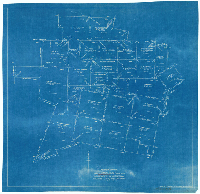

Print $20.00
- Digital $50.00
Webb County Working Sketch 45
1944
Size 28.1 x 28.9 inches
Map/Doc 72410
Map showing the line of march of the Centre Division, Army of Mexico, under the command of Brigr. Genl. John E. Wool, from San Antonio de Bexar, Texas to Saltillo, Mexico
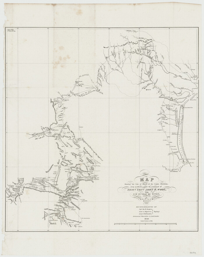

Print $20.00
- Digital $50.00
Map showing the line of march of the Centre Division, Army of Mexico, under the command of Brigr. Genl. John E. Wool, from San Antonio de Bexar, Texas to Saltillo, Mexico
1846
Size 24.5 x 19.5 inches
Map/Doc 94074
Liberty County Working Sketch 77
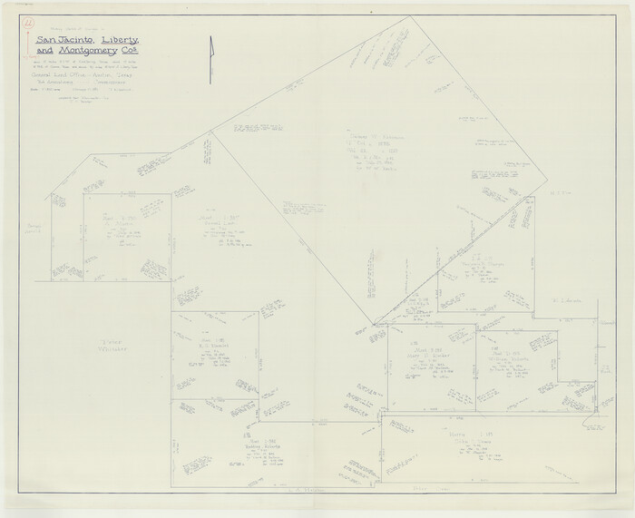

Print $20.00
- Digital $50.00
Liberty County Working Sketch 77
Size 37.4 x 45.9 inches
Map/Doc 70537
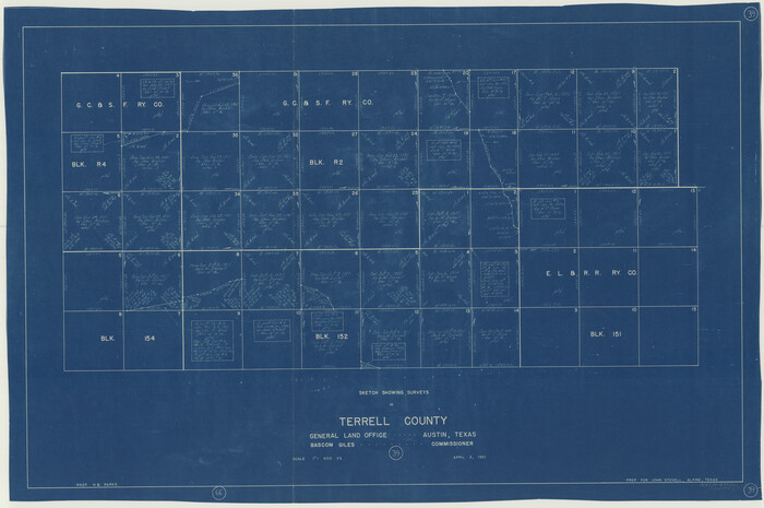
Terrell County Working Sketch 39

Print $20.00
- Digital $50.00
Terrell County Working Sketch 39
1951
Size 26.8 x 40.4 inches
Map/Doc 62132
![3102, [County table portion of 1879 State of Texas map by Pressler & Langermann], General Map Collection](https://historictexasmaps.com/wmedia_w1800h1800/maps/3102-1.tif.jpg)