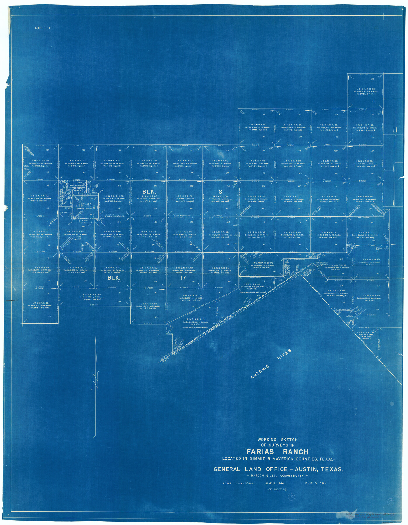
Maverick County Working Sketch 5
Working Sketch of Surveys in "Farias Ranch"
-
Map/Doc
70897
-
Collection
General Map Collection
-
Object Dates
6/15/1944 (Creation Date)
-
Counties
Maverick Dimmit
-
Subjects
Surveying Working Sketch
-
Height x Width
55.4 x 43.0 inches
140.7 x 109.2 cm
-
Scale
1" = 500 varas
-
Comments
Sheet 1. See Maverick County Working Sketch 6 (70898) for Sheet 2.
Related maps
Maverick County Working Sketch 6

Print $40.00
- Digital $50.00
Maverick County Working Sketch 6
1944
Size 55.9 x 42.4 inches
Map/Doc 70898
Part of: General Map Collection
Maps of Gulf Intracoastal Waterway, Texas - Sabine River to the Rio Grande and connecting waterways including ship channels

Print $20.00
- Digital $50.00
Maps of Gulf Intracoastal Waterway, Texas - Sabine River to the Rio Grande and connecting waterways including ship channels
1966
Size 14.5 x 22.2 inches
Map/Doc 61922
Flight Mission No. CUG-3P, Frame 32, Kleberg County

Print $20.00
- Digital $50.00
Flight Mission No. CUG-3P, Frame 32, Kleberg County
1956
Size 18.8 x 22.3 inches
Map/Doc 86237
Clay County Working Sketch 8

Print $20.00
- Digital $50.00
Clay County Working Sketch 8
1937
Size 23.1 x 22.0 inches
Map/Doc 68031
DeWitt County Sketch File 1

Print $11.00
- Digital $50.00
DeWitt County Sketch File 1
1851
Size 8.4 x 8.2 inches
Map/Doc 20794
Gonzales County Sketch File 10

Print $4.00
- Digital $50.00
Gonzales County Sketch File 10
1873
Size 8.4 x 5.2 inches
Map/Doc 24390
Liberty County Rolled Sketch Q

Print $20.00
- Digital $50.00
Liberty County Rolled Sketch Q
1890
Size 31.7 x 25.1 inches
Map/Doc 6625
Cameron County Rolled Sketch 31

Print $20.00
- Digital $50.00
Cameron County Rolled Sketch 31
1993
Size 18.4 x 24.3 inches
Map/Doc 5395
Dimmit County Rolled Sketch 20

Print $20.00
- Digital $50.00
Dimmit County Rolled Sketch 20
1999
Size 24.6 x 36.6 inches
Map/Doc 5726


Travis County Sketch File 61

Print $8.00
- Digital $50.00
Travis County Sketch File 61
1948
Size 14.4 x 8.8 inches
Map/Doc 38427
Freestone County Sketch File 8

Print $4.00
- Digital $50.00
Freestone County Sketch File 8
1859
Size 5.8 x 8.1 inches
Map/Doc 23054
You may also like
Tyler County Working Sketch 10

Print $20.00
- Digital $50.00
Tyler County Working Sketch 10
1937
Size 24.0 x 24.1 inches
Map/Doc 69480
Duval County Rolled Sketch 37

Print $20.00
- Digital $50.00
Duval County Rolled Sketch 37
Size 19.8 x 16.5 inches
Map/Doc 5754
Map of Burleson County

Print $20.00
- Digital $50.00
Map of Burleson County
1867
Size 19.1 x 30.0 inches
Map/Doc 4511
Duval County Working Sketch 14

Print $20.00
- Digital $50.00
Duval County Working Sketch 14
1938
Size 15.2 x 17.7 inches
Map/Doc 68727
Colorado River, Bull Creek Sheet[/Champion 125 Acre Tract]
![65323, Colorado River, Bull Creek Sheet[/Champion 125 Acre Tract], General Map Collection](https://historictexasmaps.com/wmedia_w700/maps/65323.tif.jpg)
Print $6.00
- Digital $50.00
Colorado River, Bull Creek Sheet[/Champion 125 Acre Tract]
1934
Size 19.3 x 32.0 inches
Map/Doc 65323
Schleicher County Rolled Sketch 1

Print $20.00
- Digital $50.00
Schleicher County Rolled Sketch 1
1888
Size 25.3 x 18.4 inches
Map/Doc 7745
Northeast Part Presidio County

Print $20.00
- Digital $50.00
Northeast Part Presidio County
1973
Size 41.3 x 32.4 inches
Map/Doc 73265
Flight Mission No. DCL-7C, Frame 42, Kenedy County

Print $20.00
- Digital $50.00
Flight Mission No. DCL-7C, Frame 42, Kenedy County
1943
Size 15.3 x 15.2 inches
Map/Doc 86030
Montgomery County Rolled Sketch 42

Print $20.00
- Digital $50.00
Montgomery County Rolled Sketch 42
1939
Size 13.9 x 20.2 inches
Map/Doc 6816
Flight Mission No. DCL-6C, Frame 131, Kenedy County

Print $20.00
- Digital $50.00
Flight Mission No. DCL-6C, Frame 131, Kenedy County
1943
Size 18.7 x 22.3 inches
Map/Doc 85961
General Highway Map, Randall County, Texas

Print $20.00
General Highway Map, Randall County, Texas
1940
Size 18.3 x 25.0 inches
Map/Doc 79224
Cooke County Working Sketch 17

Print $20.00
- Digital $50.00
Cooke County Working Sketch 17
1950
Size 24.7 x 17.8 inches
Map/Doc 68254