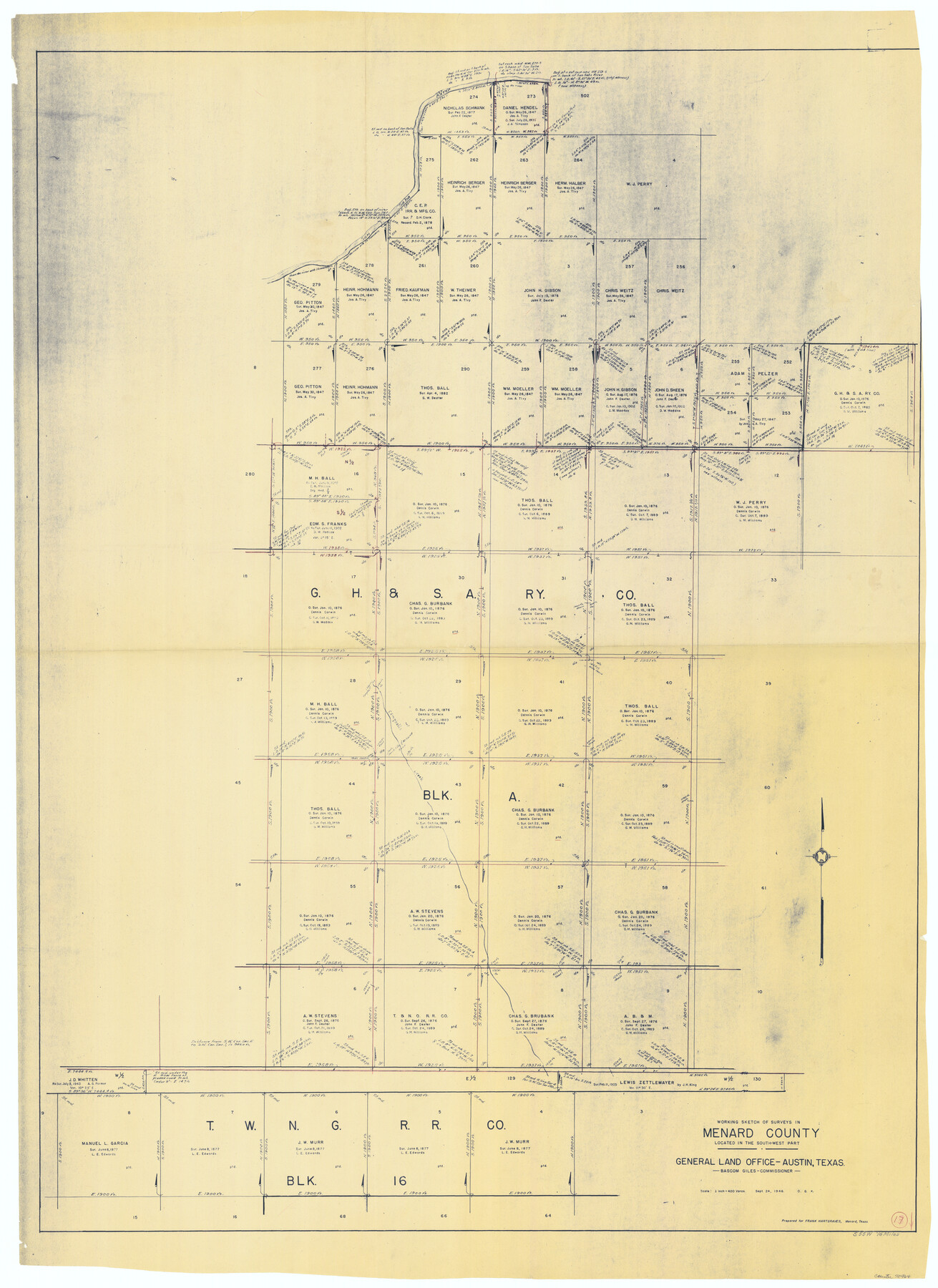
Menard County Working Sketch 17
-
Map/Doc
70964
-
Collection
General Map Collection
-
Object Dates
9/24/1946 (Creation Date)
-
People and Organizations
Otto G. Kurio (Draftsman)
-
Counties
Menard
-
Subjects
Surveying Working Sketch
-
Height x Width
59.0 x 42.9 inches
149.9 x 109.0 cm
-
Scale
1" = 400 varas
Part of: General Map Collection
Trinity County Boundary File 102

Print $14.00
- Digital $50.00
Trinity County Boundary File 102
Size 9.2 x 4.6 inches
Map/Doc 59480
Dimmit County Sketch File 41

Print $4.00
- Digital $50.00
Dimmit County Sketch File 41
1901
Size 14.6 x 9.1 inches
Map/Doc 21169
Hockley County Rolled Sketch 5

Print $40.00
- Digital $50.00
Hockley County Rolled Sketch 5
Size 80.8 x 29.5 inches
Map/Doc 9175
[Surveys in the Bexar District]
![24, [Surveys in the Bexar District], General Map Collection](https://historictexasmaps.com/wmedia_w700/maps/24-1.tif.jpg)
Print $20.00
- Digital $50.00
[Surveys in the Bexar District]
1841
Size 23.0 x 16.5 inches
Map/Doc 24
Potter County Boundary File 1b

Print $8.00
- Digital $50.00
Potter County Boundary File 1b
Size 14.4 x 8.4 inches
Map/Doc 57948
Kleberg County Rolled Sketch 10-23

Print $20.00
- Digital $50.00
Kleberg County Rolled Sketch 10-23
1953
Size 37.5 x 31.3 inches
Map/Doc 9396
Brazoria County Sketch File 33

Print $40.00
- Digital $50.00
Brazoria County Sketch File 33
Size 21.9 x 24.1 inches
Map/Doc 10957
Hydrographic Survey H-1288B Corpus Christi Pass

Print $40.00
- Digital $50.00
Hydrographic Survey H-1288B Corpus Christi Pass
1875
Size 31.0 x 52.6 inches
Map/Doc 2691
Floyd County Rolled Sketch 5

Print $20.00
- Digital $50.00
Floyd County Rolled Sketch 5
1892
Size 27.2 x 18.7 inches
Map/Doc 5880
Webb County Sketch File 13b

Print $3.00
- Digital $50.00
Webb County Sketch File 13b
1893
Size 14.0 x 9.8 inches
Map/Doc 39803
Flight Mission No. BQR-13K, Frame 120, Brazoria County

Print $20.00
- Digital $50.00
Flight Mission No. BQR-13K, Frame 120, Brazoria County
1952
Size 18.8 x 22.5 inches
Map/Doc 84081

You may also like
Tarrant County Working Sketch 15

Print $20.00
- Digital $50.00
Tarrant County Working Sketch 15
1989
Size 33.0 x 38.3 inches
Map/Doc 62432
Kerr County Sketch File 6

Print $20.00
- Digital $50.00
Kerr County Sketch File 6
1879
Size 16.4 x 22.4 inches
Map/Doc 11917
Eastland County Sketch File 15

Print $2.00
- Digital $50.00
Eastland County Sketch File 15
1882
Size 11.4 x 8.6 inches
Map/Doc 21599
[East line of Wheeler County along Oklahoma]
![89824, [East line of Wheeler County along Oklahoma], Twichell Survey Records](https://historictexasmaps.com/wmedia_w700/maps/89824-1.tif.jpg)
Print $40.00
- Digital $50.00
[East line of Wheeler County along Oklahoma]
Size 8.4 x 62.2 inches
Map/Doc 89824
Texas Coordinate File 7

Print $4.00
- Digital $50.00
Texas Coordinate File 7
Size 11.3 x 8.8 inches
Map/Doc 75316
Bosque County Sketch File 3

Print $40.00
- Digital $50.00
Bosque County Sketch File 3
1848
Size 16.1 x 12.4 inches
Map/Doc 14742
Upshur County Sketch File 15

Print $20.00
- Digital $50.00
Upshur County Sketch File 15
1934
Size 20.7 x 31.2 inches
Map/Doc 12505
Palo Pinto County Working Sketch 27

Print $20.00
- Digital $50.00
Palo Pinto County Working Sketch 27
2006
Map/Doc 83609
Coleman County Working Sketch 12

Print $20.00
- Digital $50.00
Coleman County Working Sketch 12
1951
Size 25.7 x 26.2 inches
Map/Doc 68078
Val Verde County Sketch File Z5

Print $20.00
- Digital $50.00
Val Verde County Sketch File Z5
Size 32.3 x 26.1 inches
Map/Doc 12551
[Surveys along the Cibolo, Balcones and Leon Creeks]
![69728, [Surveys along the Cibolo, Balcones and Leon Creeks], General Map Collection](https://historictexasmaps.com/wmedia_w700/maps/69728-1.tif.jpg)
Print $20.00
- Digital $50.00
[Surveys along the Cibolo, Balcones and Leon Creeks]
1841
Size 14.5 x 21.0 inches
Map/Doc 69728
Glasscock County Boundary File 1

Print $18.00
- Digital $50.00
Glasscock County Boundary File 1
Size 14.4 x 9.0 inches
Map/Doc 53781