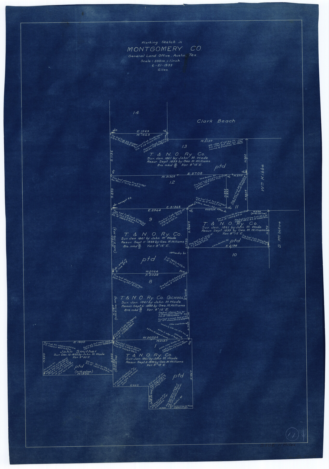
Montgomery County Working Sketch 11
-
Map/Doc
71118
-
Collection
General Map Collection
-
Object Dates
6/21/1933 (Creation Date)
-
People and Organizations
J. Bascom Giles (Draftsman)
-
Counties
Montgomery
-
Subjects
Surveying Working Sketch
-
Height x Width
25.2 x 17.7 inches
64.0 x 45.0 cm
-
Scale
1" = 500 varas
Part of: General Map Collection
Young County Rolled Sketch 12

Print $20.00
- Digital $50.00
Young County Rolled Sketch 12
Size 24.2 x 17.9 inches
Map/Doc 8300
Yoakum County Boundary File 1b

Print $2.00
- Digital $50.00
Yoakum County Boundary File 1b
Size 14.4 x 9.0 inches
Map/Doc 60197
Red River County Rolled Sketch 5

Print $20.00
- Digital $50.00
Red River County Rolled Sketch 5
Size 33.5 x 32.5 inches
Map/Doc 9842
Hopkins County Sketch File 5

Print $4.00
- Digital $50.00
Hopkins County Sketch File 5
Size 10.3 x 8.2 inches
Map/Doc 26687
Duval County Rolled Sketch Pressly No. 2

Print $20.00
- Digital $50.00
Duval County Rolled Sketch Pressly No. 2
1935
Size 22.6 x 33.7 inches
Map/Doc 5770
Comanche County Working Sketch 14

Print $20.00
- Digital $50.00
Comanche County Working Sketch 14
1960
Size 17.9 x 23.9 inches
Map/Doc 68148
Zavala County Sketch File 39

Print $4.00
- Digital $50.00
Zavala County Sketch File 39
1884
Size 14.4 x 8.7 inches
Map/Doc 41404
Map of Michigan, Wisconsin and part of Iowa to illustrate Olney's school geography

Print $20.00
- Digital $50.00
Map of Michigan, Wisconsin and part of Iowa to illustrate Olney's school geography
1844
Size 9.5 x 12.1 inches
Map/Doc 93542
Jim Hogg County

Print $20.00
- Digital $50.00
Jim Hogg County
1962
Size 41.3 x 30.0 inches
Map/Doc 73197
Lynn County Rolled Sketch 12

Print $20.00
- Digital $50.00
Lynn County Rolled Sketch 12
1956
Size 35.0 x 24.5 inches
Map/Doc 6648
Kinney County Working Sketch 39

Print $20.00
- Digital $50.00
Kinney County Working Sketch 39
1972
Size 37.7 x 44.8 inches
Map/Doc 70221
Map of the City of Austin Texas

Map of the City of Austin Texas
1933
Size 22.5 x 17.6 inches
Map/Doc 76050
You may also like
Armstrong County Working Sketch Graphic Index

Print $20.00
- Digital $50.00
Armstrong County Working Sketch Graphic Index
1933
Size 40.3 x 40.0 inches
Map/Doc 76457
Flight Mission No. CRK-8P, Frame 106, Refugio County

Print $20.00
- Digital $50.00
Flight Mission No. CRK-8P, Frame 106, Refugio County
1956
Size 18.3 x 22.1 inches
Map/Doc 86967
Tarrant County, Texas

Print $20.00
- Digital $50.00
Tarrant County, Texas
1870
Size 24.1 x 19.1 inches
Map/Doc 758
Old Miscellaneous File 36

Print $4.00
- Digital $50.00
Old Miscellaneous File 36
1891
Size 11.3 x 8.8 inches
Map/Doc 75759
[Blocks O, N, 34, B19, B29]
![92969, [Blocks O, N, 34, B19, B29], Twichell Survey Records](https://historictexasmaps.com/wmedia_w700/maps/92969-1.tif.jpg)
Print $20.00
- Digital $50.00
[Blocks O, N, 34, B19, B29]
Size 24.1 x 24.4 inches
Map/Doc 92969
Sketch Showing all that Portion of Block 24 North of Santa Fe R. R. Right-of-Way in Original Town of Lubbock

Print $20.00
- Digital $50.00
Sketch Showing all that Portion of Block 24 North of Santa Fe R. R. Right-of-Way in Original Town of Lubbock
1925
Size 27.5 x 35.6 inches
Map/Doc 92810
Zavala County Sketch File 14

Print $26.00
- Digital $50.00
Zavala County Sketch File 14
1887
Size 14.4 x 8.7 inches
Map/Doc 41308

[Lee County School Land and vicinity]
![90886, [Lee County School Land and vicinity], Twichell Survey Records](https://historictexasmaps.com/wmedia_w700/maps/90886-1.tif.jpg)
Print $2.00
- Digital $50.00
[Lee County School Land and vicinity]
Size 9.0 x 14.8 inches
Map/Doc 90886
Fannin County Working Sketch 1

Print $20.00
- Digital $50.00
Fannin County Working Sketch 1
1904
Size 27.6 x 19.5 inches
Map/Doc 69155
Yoakum County Sketch File 11

Print $4.00
- Digital $50.00
Yoakum County Sketch File 11
1914
Size 11.3 x 8.9 inches
Map/Doc 40763
Wichita County Sketch File 22

Print $10.00
- Digital $50.00
Wichita County Sketch File 22
1911
Size 11.3 x 8.6 inches
Map/Doc 40104