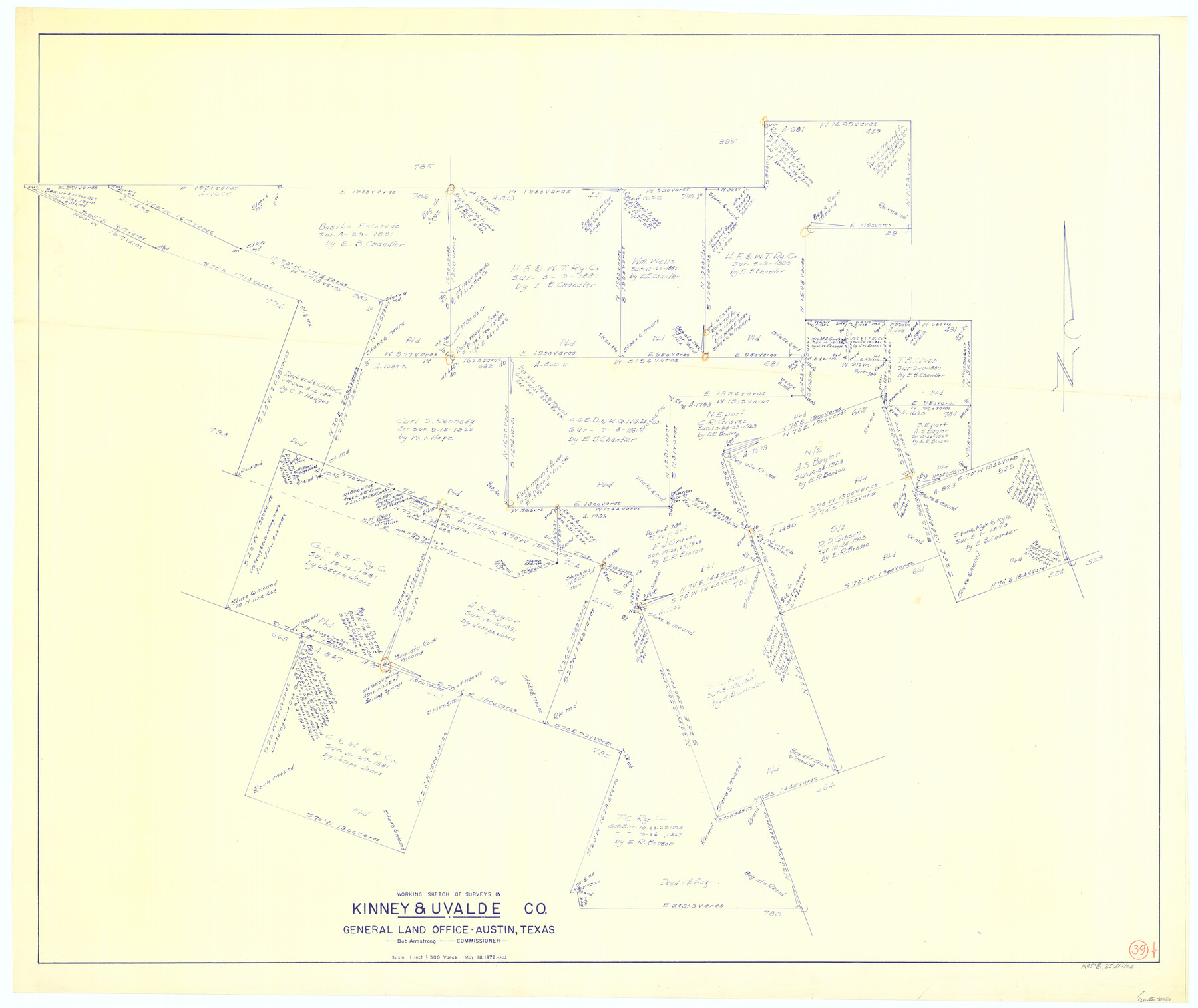
Kinney County Working Sketch 39
-
Map/Doc
70221
-
Collection
General Map Collection
-
Object Dates
5/18/1972 (Creation Date)
-
People and Organizations
Herbert H. Ulbricht (Draftsman)
-
Counties
Kinney Uvalde
-
Subjects
Surveying Working Sketch
-
Height x Width
37.7 x 44.8 inches
95.8 x 113.8 cm
-
Scale
1" = 300 varas
Part of: General Map Collection
Upshur County Working Sketch 10a

Print $20.00
- Digital $50.00
Upshur County Working Sketch 10a
1969
Size 15.8 x 18.7 inches
Map/Doc 69567
No. 2 Chart of Corpus Christi Pass, Texas

Print $20.00
- Digital $50.00
No. 2 Chart of Corpus Christi Pass, Texas
1878
Size 18.3 x 27.4 inches
Map/Doc 73022
Lee County Working Sketch 9

Print $20.00
- Digital $50.00
Lee County Working Sketch 9
1979
Size 26.7 x 28.0 inches
Map/Doc 70388
Stephens County Sketch File 6a

Print $4.00
- Digital $50.00
Stephens County Sketch File 6a
Size 12.4 x 8.4 inches
Map/Doc 37023
Schleicher County Working Sketch 1

Print $20.00
- Digital $50.00
Schleicher County Working Sketch 1
1902
Size 14.8 x 17.4 inches
Map/Doc 63803
Flight Mission No. CLL-3N, Frame 38, Willacy County

Print $20.00
- Digital $50.00
Flight Mission No. CLL-3N, Frame 38, Willacy County
1954
Size 18.6 x 22.2 inches
Map/Doc 87096
[Sketch for Mineral Application 26543 - Sabine River, D. H. Sanford]
![65677, [Sketch for Mineral Application 26543 - Sabine River, D. H. Sanford], General Map Collection](https://historictexasmaps.com/wmedia_w700/maps/65677.tif.jpg)
Print $40.00
- Digital $50.00
[Sketch for Mineral Application 26543 - Sabine River, D. H. Sanford]
1931
Size 30.8 x 71.9 inches
Map/Doc 65677
Baylor County Sketch File AA

Print $40.00
- Digital $50.00
Baylor County Sketch File AA
1879
Size 15.9 x 27.9 inches
Map/Doc 10910
Flight Mission No. DCL-5C, Frame 69, Kenedy County

Print $20.00
- Digital $50.00
Flight Mission No. DCL-5C, Frame 69, Kenedy County
1943
Size 18.5 x 22.3 inches
Map/Doc 85852

Brazos County Rolled Sketch 6

Print $20.00
- Digital $50.00
Brazos County Rolled Sketch 6
1979
Size 24.3 x 36.4 inches
Map/Doc 5190
Terrell County Working Sketch 66

Print $40.00
- Digital $50.00
Terrell County Working Sketch 66
1972
Size 32.1 x 48.1 inches
Map/Doc 69587
You may also like
Duval County Working Sketch 15

Print $20.00
- Digital $50.00
Duval County Working Sketch 15
1938
Size 23.3 x 22.7 inches
Map/Doc 68728
Brewster County Rolled Sketch 151

Print $20.00
- Digital $50.00
Brewster County Rolled Sketch 151
1996
Size 36.3 x 28.0 inches
Map/Doc 5318
Jasper County Working Sketch 17

Print $20.00
- Digital $50.00
Jasper County Working Sketch 17
1934
Size 18.1 x 24.2 inches
Map/Doc 66479
Crane County Sketch File 16

Print $20.00
- Digital $50.00
Crane County Sketch File 16
Size 15.8 x 19.1 inches
Map/Doc 11209
Burnet County Sketch File 42

Print $28.00
- Digital $50.00
Burnet County Sketch File 42
1950
Size 9.9 x 8.8 inches
Map/Doc 16760
Map of the country adjacent to the left bank of the Rio Grande below Matamoros

Print $20.00
- Digital $50.00
Map of the country adjacent to the left bank of the Rio Grande below Matamoros
1847
Size 18.3 x 28.2 inches
Map/Doc 72871
Jeff Davis County Rolled Sketch 20

Print $20.00
- Digital $50.00
Jeff Davis County Rolled Sketch 20
1944
Size 22.7 x 19.6 inches
Map/Doc 7724
The Republic County of Robertson. Spring 1842

Print $20.00
The Republic County of Robertson. Spring 1842
2020
Size 16.9 x 21.7 inches
Map/Doc 96263
Map of Donley County

Print $20.00
- Digital $50.00
Map of Donley County
1894
Size 44.6 x 35.8 inches
Map/Doc 16823
Flight Mission No. BRA-7M, Frame 7, Jefferson County

Print $20.00
- Digital $50.00
Flight Mission No. BRA-7M, Frame 7, Jefferson County
1953
Size 18.7 x 22.5 inches
Map/Doc 85458
Crockett County Sketch File 29

Print $8.00
- Digital $50.00
Crockett County Sketch File 29
1883
Size 12.5 x 8.1 inches
Map/Doc 19727
Webb County Working Sketch 63

Print $20.00
- Digital $50.00
Webb County Working Sketch 63
1962
Size 11.1 x 24.2 inches
Map/Doc 72429