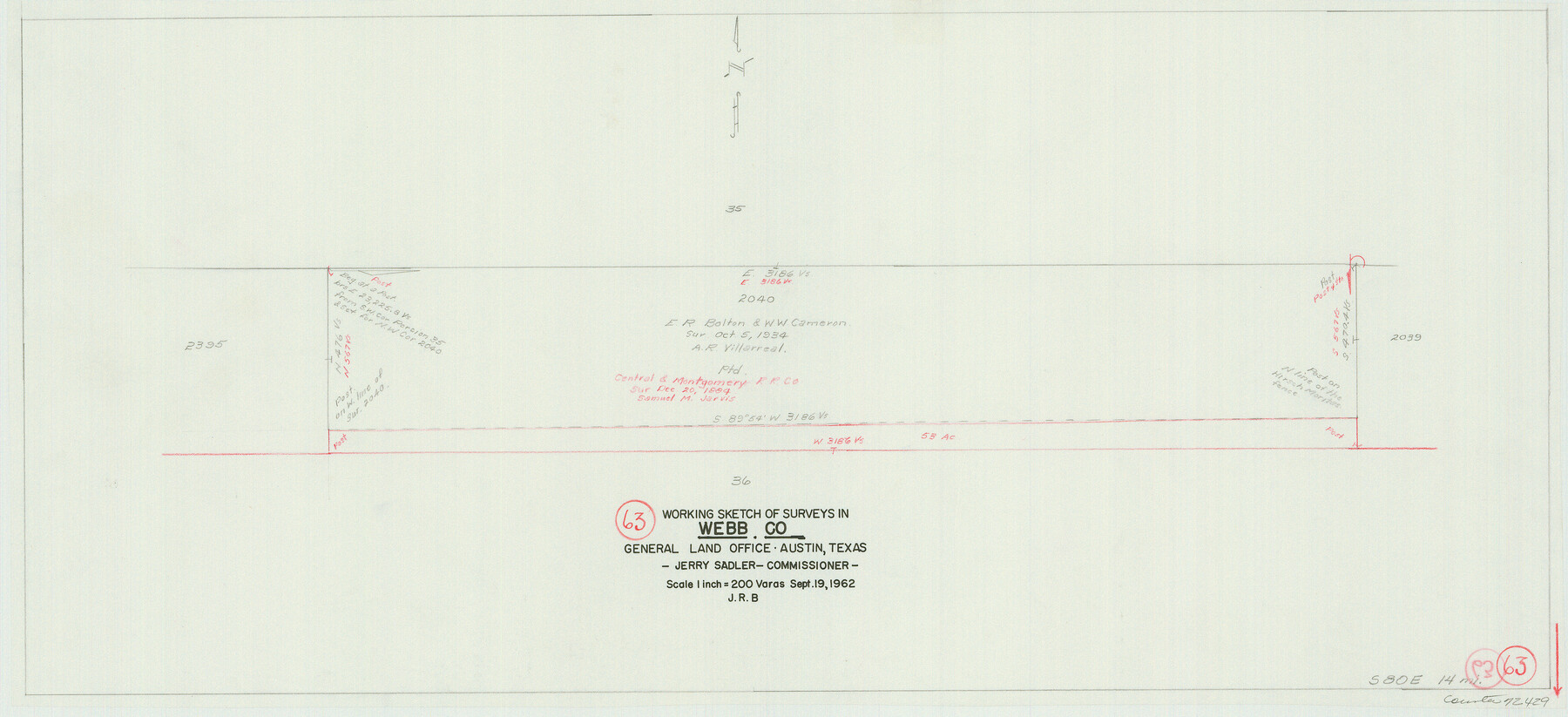
Webb County Working Sketch 63
-
Map/Doc
72429
-
Collection
General Map Collection
-
Object Dates
9/19/1962 (Creation Date)
-
Counties
Webb
-
Subjects
Surveying Working Sketch
-
Height x Width
11.1 x 24.2 inches
28.2 x 61.5 cm
-
Scale
1" = 200 varas
Part of: General Map Collection
El Paso County Rolled Sketch 53

Print $105.00
- Digital $50.00
El Paso County Rolled Sketch 53
1930
Size 10.1 x 15.3 inches
Map/Doc 44486
Map of Liberty County Texas

Print $20.00
- Digital $50.00
Map of Liberty County Texas
1879
Size 25.4 x 25.3 inches
Map/Doc 42994
Flight Mission No. BRA-7M, Frame 120, Jefferson County

Print $20.00
- Digital $50.00
Flight Mission No. BRA-7M, Frame 120, Jefferson County
1953
Size 18.7 x 22.4 inches
Map/Doc 85514
Flight Mission No. DAG-14K, Frame 132, Matagorda County

Print $20.00
- Digital $50.00
Flight Mission No. DAG-14K, Frame 132, Matagorda County
1952
Size 17.6 x 17.5 inches
Map/Doc 86303
Marion County Rolled Sketch F

Print $40.00
- Digital $50.00
Marion County Rolled Sketch F
1937
Size 43.5 x 67.1 inches
Map/Doc 9487
Maverick County Sketch File 27

Print $6.00
- Digital $50.00
Maverick County Sketch File 27
1873
Size 9.9 x 8.0 inches
Map/Doc 31160
United States - Gulf Coast - Galveston to Rio Grande

Print $20.00
- Digital $50.00
United States - Gulf Coast - Galveston to Rio Grande
Size 27.9 x 18.3 inches
Map/Doc 72739
Crosby County Boundary File 4

Print $88.00
- Digital $50.00
Crosby County Boundary File 4
Size 14.8 x 9.1 inches
Map/Doc 52003
Hansford County

Print $20.00
- Digital $50.00
Hansford County
1878
Size 19.5 x 17.0 inches
Map/Doc 3623
Flight Mission No. DIX-10P, Frame 183, Aransas County

Print $20.00
- Digital $50.00
Flight Mission No. DIX-10P, Frame 183, Aransas County
1956
Size 18.4 x 22.1 inches
Map/Doc 83973
Austin including Bergstrom AFB, Hays, Mansfield Dam, McKinney Falls State Park, Oak Hill, Rollingwood, San Leanna, Sunset Valley and West Lake Hills - also portions of Pflugerville

Austin including Bergstrom AFB, Hays, Mansfield Dam, McKinney Falls State Park, Oak Hill, Rollingwood, San Leanna, Sunset Valley and West Lake Hills - also portions of Pflugerville
Size 38.5 x 25.6 inches
Map/Doc 94376
Galveston County NRC Article 33.136 Sketch 31

Print $22.00
- Digital $50.00
Galveston County NRC Article 33.136 Sketch 31
2005
Size 22.2 x 33.7 inches
Map/Doc 83280
You may also like
Stonewall County Rolled Sketch 28

Print $20.00
- Digital $50.00
Stonewall County Rolled Sketch 28
Size 42.8 x 46.5 inches
Map/Doc 9967
Flight Mission No. DQN-2K, Frame 74, Calhoun County

Print $20.00
- Digital $50.00
Flight Mission No. DQN-2K, Frame 74, Calhoun County
1953
Size 18.6 x 22.2 inches
Map/Doc 84266

Wharton County Working Sketch 9

Print $3.00
- Digital $50.00
Wharton County Working Sketch 9
1982
Size 12.4 x 10.4 inches
Map/Doc 72473
Brazoria County NRC Article 33.136 Sketch 15

Print $44.00
- Digital $50.00
Brazoria County NRC Article 33.136 Sketch 15
2014
Size 39.8 x 30.0 inches
Map/Doc 94698
Jackson County Rolled Sketch 3A

Print $20.00
- Digital $50.00
Jackson County Rolled Sketch 3A
1913
Size 23.2 x 22.6 inches
Map/Doc 6337
Map of The Surveyed Part of Peters Colony Texas

Print $40.00
- Digital $50.00
Map of The Surveyed Part of Peters Colony Texas
1854
Size 53.1 x 33.9 inches
Map/Doc 83008
Wood County Working Sketch 7

Print $20.00
- Digital $50.00
Wood County Working Sketch 7
1942
Size 41.0 x 37.7 inches
Map/Doc 62007
Starr County Sketch File 1

Print $4.00
- Digital $50.00
Starr County Sketch File 1
Size 10.3 x 5.1 inches
Map/Doc 36854
[Area around John P. Rohus Survey]
![91913, [Area around John P. Rohus Survey], Twichell Survey Records](https://historictexasmaps.com/wmedia_w700/maps/91913-1.tif.jpg)
Print $20.00
- Digital $50.00
[Area around John P. Rohus Survey]
Size 19.7 x 19.7 inches
Map/Doc 91913
Map of Fannin County

Print $40.00
- Digital $50.00
Map of Fannin County
1841
Size 50.4 x 46.8 inches
Map/Doc 7821
Harris County

Print $40.00
- Digital $50.00
Harris County
1896
Size 44.8 x 67.5 inches
Map/Doc 66856