Crosby County Boundary File 4
[Fieldnotes and Sketch of Crosby-Garza County Line]
-
Map/Doc
52003
-
Collection
General Map Collection
-
Counties
Crosby
-
Subjects
County Boundaries
-
Height x Width
14.8 x 9.1 inches
37.6 x 23.1 cm
Part of: General Map Collection
Map of Red River Division of International & Great Northern Railroad


Print $40.00
- Digital $50.00
Map of Red River Division of International & Great Northern Railroad
Size 23.5 x 103.4 inches
Map/Doc 64475
Wilbarger County Boundary File 1b


Print $40.00
- Digital $50.00
Wilbarger County Boundary File 1b
Size 14.3 x 8.8 inches
Map/Doc 59943
Maps of Gulf Intracoastal Waterway, Texas - Sabine River to the Rio Grande and connecting waterways including ship channels
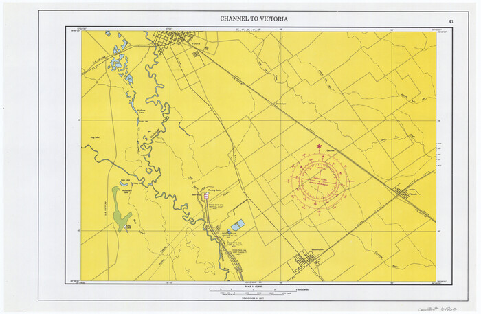

Print $20.00
- Digital $50.00
Maps of Gulf Intracoastal Waterway, Texas - Sabine River to the Rio Grande and connecting waterways including ship channels
1966
Size 14.6 x 22.3 inches
Map/Doc 61962
Jasper County


Print $20.00
- Digital $50.00
Jasper County
1946
Size 46.8 x 41.0 inches
Map/Doc 77325
Jasper County Working Sketch 14
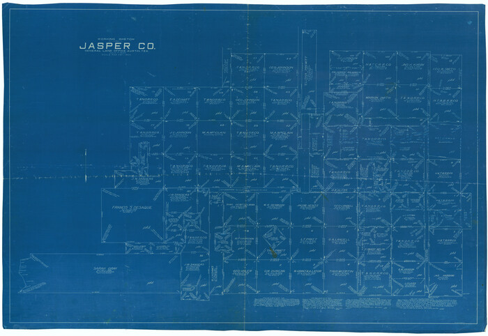

Print $40.00
- Digital $50.00
Jasper County Working Sketch 14
1920
Size 37.9 x 55.1 inches
Map/Doc 66476
Duval County Working Sketch 33


Print $20.00
- Digital $50.00
Duval County Working Sketch 33
1951
Size 21.9 x 23.3 inches
Map/Doc 68757
Outer Continental Shelf Leasing Maps (Louisiana Offshore Operations)
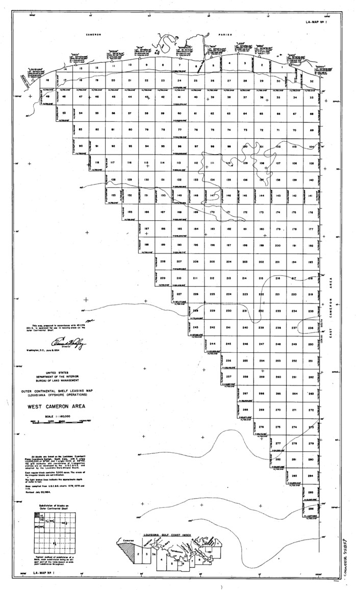

Print $20.00
- Digital $50.00
Outer Continental Shelf Leasing Maps (Louisiana Offshore Operations)
1955
Size 19.8 x 12.0 inches
Map/Doc 75859
Cherokee County Boundary File 1
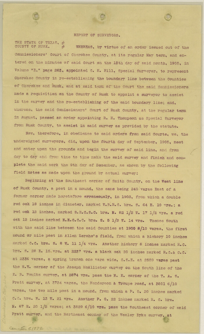

Print $34.00
- Digital $50.00
Cherokee County Boundary File 1
Size 14.2 x 8.7 inches
Map/Doc 51272
Leon County Working Sketch 21


Print $20.00
- Digital $50.00
Leon County Working Sketch 21
1964
Size 20.9 x 22.9 inches
Map/Doc 70420
Lipscomb County Sketch File 1


Print $40.00
- Digital $50.00
Lipscomb County Sketch File 1
Size 51.7 x 14.2 inches
Map/Doc 10525
Andrews County Rolled Sketch 15


Print $20.00
- Digital $50.00
Andrews County Rolled Sketch 15
1934
Size 27.9 x 22.4 inches
Map/Doc 77166
You may also like
Lavaca County Working Sketch 7
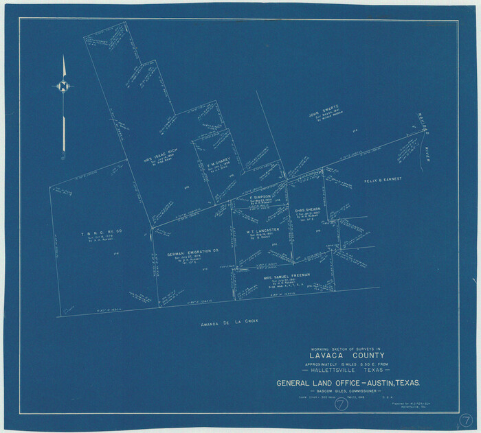

Print $20.00
- Digital $50.00
Lavaca County Working Sketch 7
1945
Size 23.6 x 26.2 inches
Map/Doc 70360
Midland County Sketch File 18
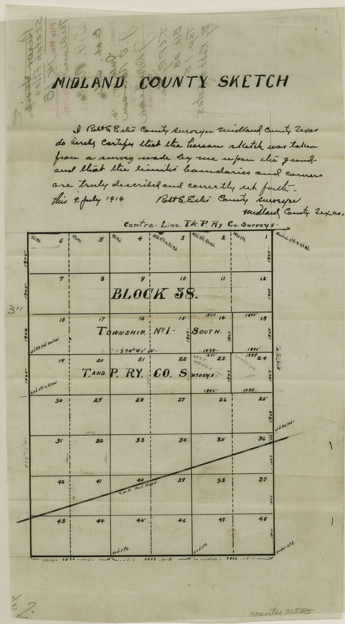

Print $4.00
- Digital $50.00
Midland County Sketch File 18
Size 14.7 x 8.1 inches
Map/Doc 31585
Cameron County Rolled Sketch Z1
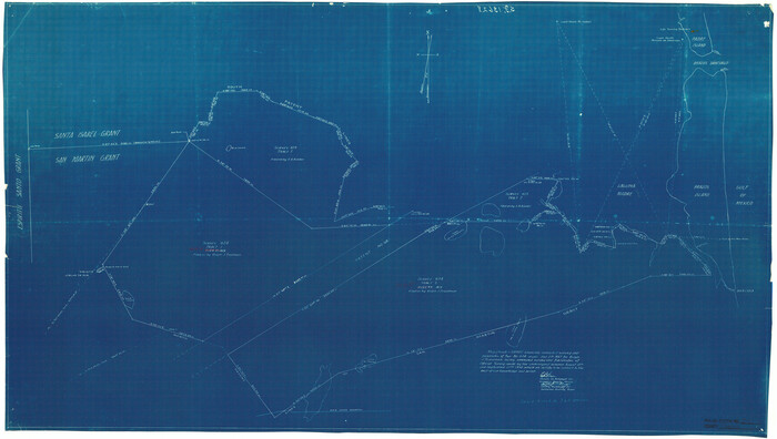

Print $20.00
- Digital $50.00
Cameron County Rolled Sketch Z1
1937
Size 23.4 x 41.4 inches
Map/Doc 5401
Concho County Sketch File 27
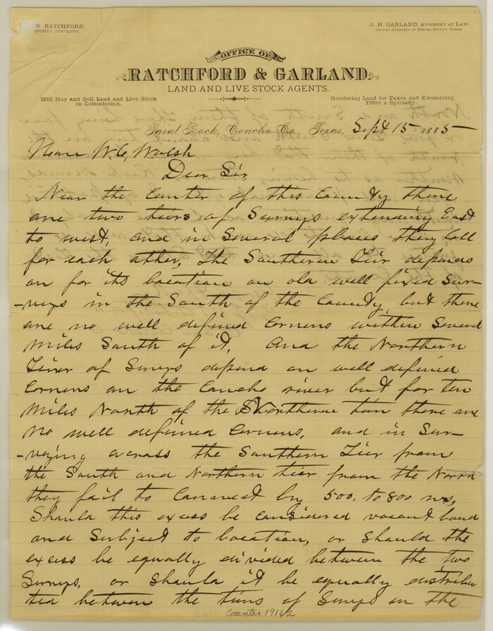

Print $8.00
- Digital $50.00
Concho County Sketch File 27
1885
Size 11.3 x 8.8 inches
Map/Doc 19162
Irion County Rolled Sketch 18C
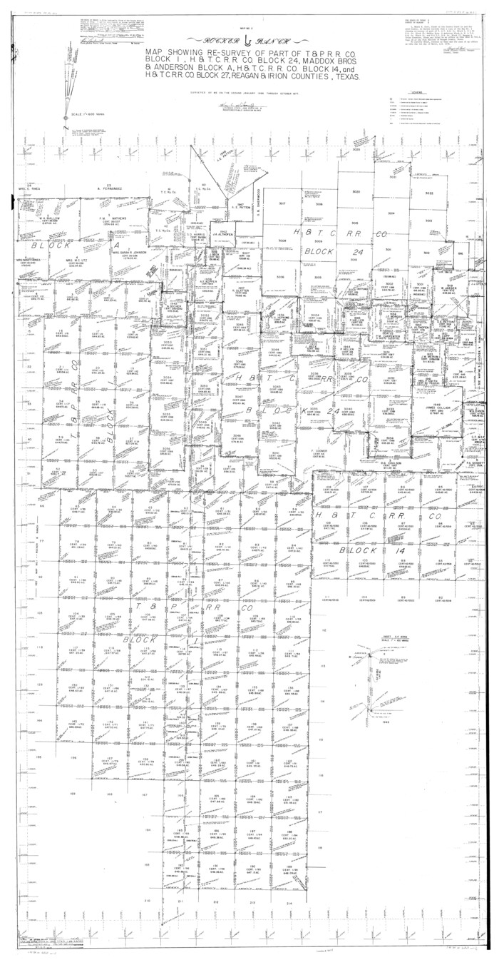

Print $40.00
- Digital $50.00
Irion County Rolled Sketch 18C
Size 84.7 x 45.5 inches
Map/Doc 9254
Bowie County Sketch File 8d
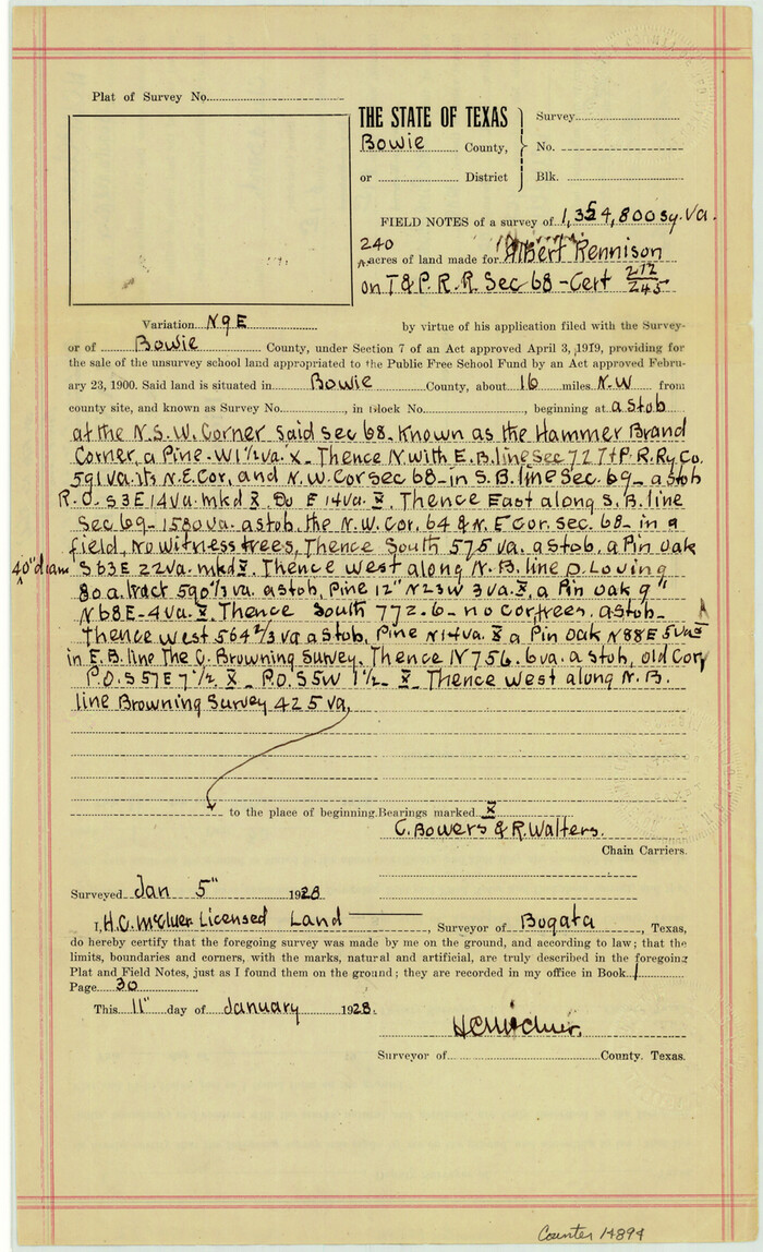

Print $4.00
- Digital $50.00
Bowie County Sketch File 8d
Size 14.2 x 8.6 inches
Map/Doc 14894
McClennan County
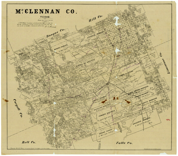

Print $20.00
- Digital $50.00
McClennan County
1880
Size 23.3 x 25.3 inches
Map/Doc 4597
Galveston County Rolled Sketch 18
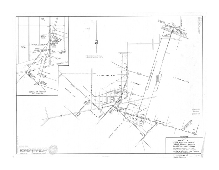

Print $20.00
- Digital $50.00
Galveston County Rolled Sketch 18
1959
Size 27.9 x 35.8 inches
Map/Doc 5955
General Highway Map, Houston County, Texas
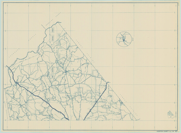

Print $20.00
General Highway Map, Houston County, Texas
1940
Size 18.3 x 24.8 inches
Map/Doc 79133
Ellis County Sketch File 23
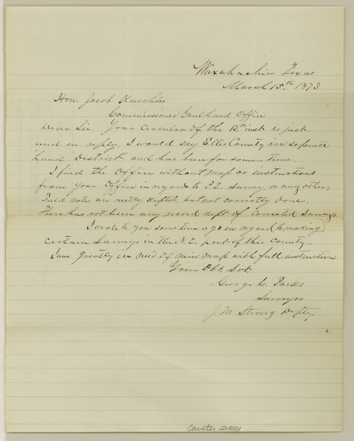

Print $4.00
- Digital $50.00
Ellis County Sketch File 23
1873
Size 10.3 x 8.3 inches
Map/Doc 21881

![88951, Haskell Co[unty], Library of Congress](https://historictexasmaps.com/wmedia_w700/maps/88951.tif.jpg)
