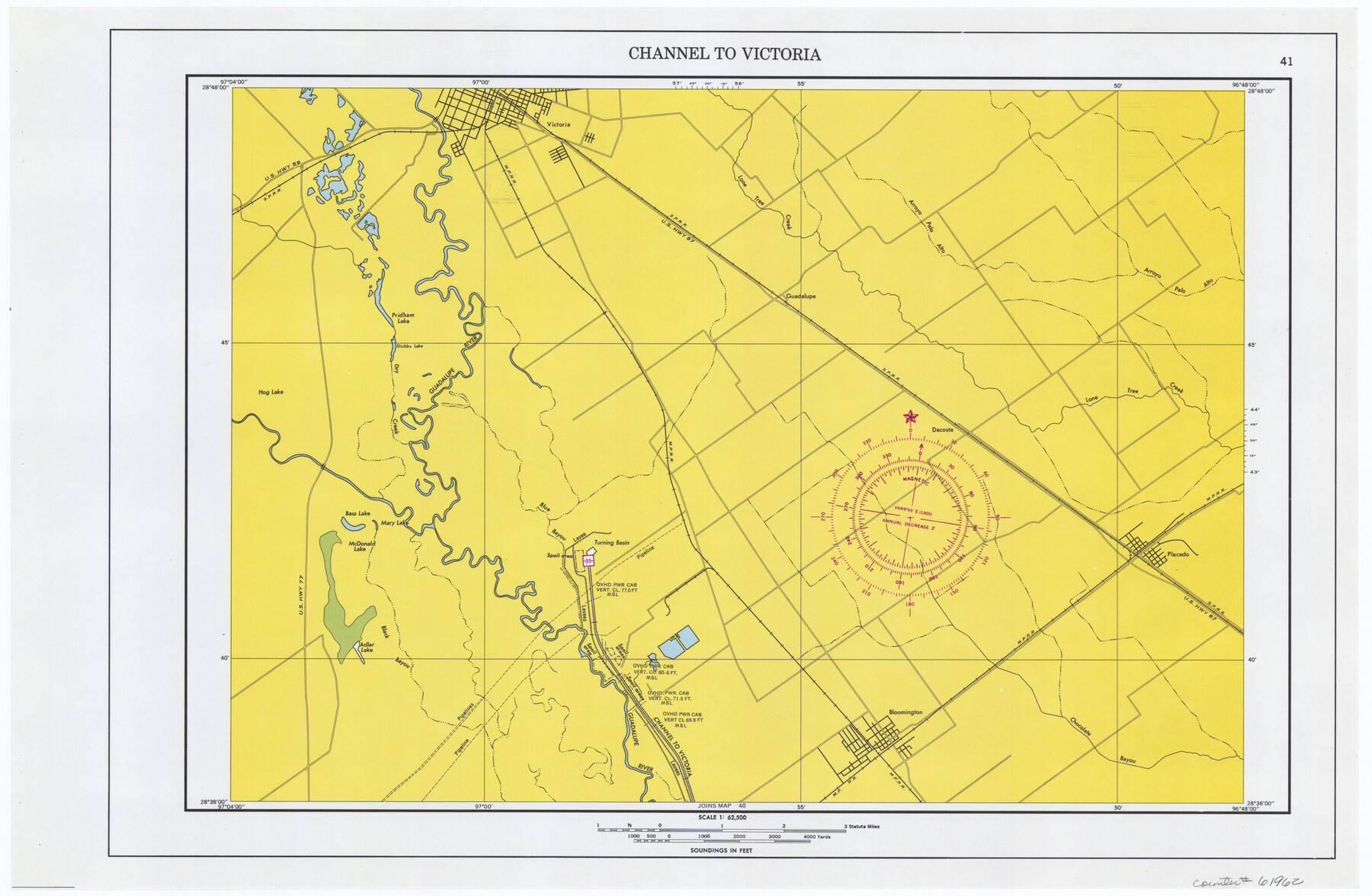
Maps of Gulf Intracoastal Waterway, Texas - Sabine River to the Rio Grande and connecting waterways including ship channels
-
Map/Doc
61962
-
Collection
General Map Collection
-
Object Dates
1966 (Creation Date)
-
Subjects
Intracoastal Waterways
-
Height x Width
14.6 x 22.3 inches
37.1 x 56.6 cm
Part of: General Map Collection
Padre Island National Seashore

Print $20.00
- Digital $50.00
Padre Island National Seashore
Size 16.0 x 21.7 inches
Map/Doc 60537
Hardin County Working Sketch 38

Print $20.00
- Digital $50.00
Hardin County Working Sketch 38
1981
Size 37.2 x 19.4 inches
Map/Doc 63436
Concho County Sketch File 17

Print $20.00
- Digital $50.00
Concho County Sketch File 17
1896
Size 10.2 x 20.9 inches
Map/Doc 11152
Edwards County Working Sketch 26

Print $20.00
- Digital $50.00
Edwards County Working Sketch 26
1942
Size 31.8 x 28.8 inches
Map/Doc 68902
Stonewall County Sketch File X

Print $20.00
- Digital $50.00
Stonewall County Sketch File X
1901
Size 25.8 x 18.1 inches
Map/Doc 12378
Hale County Sketch File 22

Print $8.00
- Digital $50.00
Hale County Sketch File 22
1903
Size 11.1 x 8.6 inches
Map/Doc 24755
Tom Green County Sketch File 81

Print $20.00
- Digital $50.00
Tom Green County Sketch File 81
Size 16.6 x 23.4 inches
Map/Doc 12453
Henderson County Working Sketch 15

Print $20.00
- Digital $50.00
Henderson County Working Sketch 15
1935
Size 18.3 x 18.1 inches
Map/Doc 66148
Railroad Track Map, H&TCRRCo., Falls County, Texas

Print $4.00
- Digital $50.00
Railroad Track Map, H&TCRRCo., Falls County, Texas
1918
Size 11.6 x 18.6 inches
Map/Doc 62834
Hardin County Sketch File 28

Print $4.00
- Digital $50.00
Hardin County Sketch File 28
Size 5.9 x 5.8 inches
Map/Doc 25153
Tarrant County Working Sketch 24

Print $20.00
- Digital $50.00
Tarrant County Working Sketch 24
2003
Size 26.0 x 34.9 inches
Map/Doc 78642
Howard County Rolled Sketch 10A

Print $20.00
- Digital $50.00
Howard County Rolled Sketch 10A
1940
Size 19.9 x 20.4 inches
Map/Doc 6241
You may also like
Gillespie County Sketch File 15

Print $20.00
- Digital $50.00
Gillespie County Sketch File 15
1847
Size 17.7 x 19.3 inches
Map/Doc 11556
Goliad County Sketch File 39

Print $14.00
- Digital $50.00
Goliad County Sketch File 39
1941
Size 14.3 x 8.8 inches
Map/Doc 24340
Nacogdoches County Working Sketch 6

Print $20.00
- Digital $50.00
Nacogdoches County Working Sketch 6
1955
Size 14.7 x 12.5 inches
Map/Doc 71222
Flight Mission No. BRA-8M, Frame 134, Jefferson County

Print $20.00
- Digital $50.00
Flight Mission No. BRA-8M, Frame 134, Jefferson County
1953
Size 18.6 x 22.5 inches
Map/Doc 85630
The Rand-McNally New Commercial Atlas Map of Texas

Print $20.00
- Digital $50.00
The Rand-McNally New Commercial Atlas Map of Texas
Size 29.5 x 40.3 inches
Map/Doc 93993

[WWI Topographic Planning Map of the Ardennes department] - Verso
![94130, [WWI Topographic Planning Map of the Ardennes department] - Verso, Non-GLO Digital Images](https://historictexasmaps.com/wmedia_w700/maps/94130-1.tif.jpg)
Print $20.00
[WWI Topographic Planning Map of the Ardennes department] - Verso
1918
Size 35.9 x 20.4 inches
Map/Doc 94130
Borden and Garza County Boundary Line Plat

Print $2.00
- Digital $50.00
Borden and Garza County Boundary Line Plat
1965
Size 14.2 x 8.8 inches
Map/Doc 61152
Blanco County Sketch File 11

Print $4.00
- Digital $50.00
Blanco County Sketch File 11
Size 4.0 x 7.6 inches
Map/Doc 14590
Crockett County Rolled Sketch 71

Print $40.00
- Digital $50.00
Crockett County Rolled Sketch 71
1949
Size 54.5 x 38.9 inches
Map/Doc 8722
Webb County Sketch File 51

Print $4.00
- Digital $50.00
Webb County Sketch File 51
1938
Size 11.3 x 8.8 inches
Map/Doc 39837
El Paso County Sketch File 6

Print $24.00
- Digital $50.00
El Paso County Sketch File 6
Size 13.4 x 8.8 inches
Map/Doc 21958