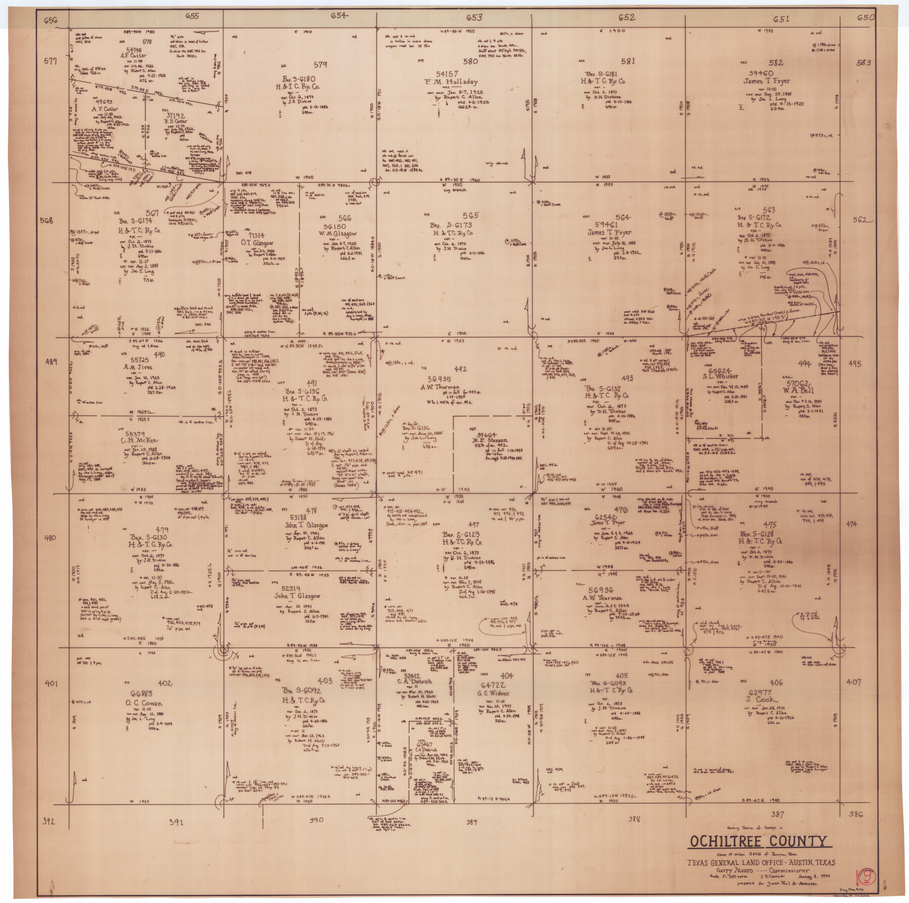
Ochiltree County Working Sketch 9
-
Map/Doc
71322
-
Collection
General Map Collection
-
Object Dates
1/8/1990 (Creation Date)
-
People and Organizations
Joan Kilpatrick (Draftsman)
-
Counties
Ochiltree
-
Subjects
Surveying Working Sketch
-
Height x Width
37.1 x 37.4 inches
94.2 x 95.0 cm
-
Scale
1" = 300 varas
Part of: General Map Collection
Crockett County Rolled Sketch 49

Print $20.00
- Digital $50.00
Crockett County Rolled Sketch 49
1940
Size 32.8 x 42.7 inches
Map/Doc 8713
Colorado County Sketch File 11

Print $6.00
- Digital $50.00
Colorado County Sketch File 11
Size 12.7 x 11.0 inches
Map/Doc 18935
Chambers County Sketch File 51

Print $35.00
- Digital $50.00
Chambers County Sketch File 51
1935
Size 14.3 x 9.0 inches
Map/Doc 18068
Real County Working Sketch 66

Print $20.00
- Digital $50.00
Real County Working Sketch 66
1970
Size 35.5 x 29.4 inches
Map/Doc 71958
Flight Mission No. DQO-6K, Frame 20, Galveston County

Print $20.00
- Digital $50.00
Flight Mission No. DQO-6K, Frame 20, Galveston County
1952
Size 18.8 x 22.3 inches
Map/Doc 85093

Central & Montgomery

Print $20.00
- Digital $50.00
Central & Montgomery
1941
Size 24.9 x 24.2 inches
Map/Doc 64524
Hutchinson County Boundary File 4

Print $17.00
- Digital $50.00
Hutchinson County Boundary File 4
Size 14.3 x 8.7 inches
Map/Doc 55305
Real County Working Sketch 28

Print $20.00
- Digital $50.00
Real County Working Sketch 28
1947
Size 15.7 x 28.3 inches
Map/Doc 71920
Aransas Pass to Baffin Bay

Print $20.00
- Digital $50.00
Aransas Pass to Baffin Bay
1937
Size 41.6 x 34.5 inches
Map/Doc 73410
Flight Mission No. DCL-7C, Frame 24, Kenedy County

Print $20.00
- Digital $50.00
Flight Mission No. DCL-7C, Frame 24, Kenedy County
1943
Size 15.5 x 15.4 inches
Map/Doc 86016
Val Verde County Sketch File 50

Print $8.00
- Digital $50.00
Val Verde County Sketch File 50
1956
Size 11.5 x 8.9 inches
Map/Doc 39316
You may also like
Index for Texas Railroad ROW & track maps available on microfilm at THD & Archives and Records

Print $2.00
- Digital $50.00
Index for Texas Railroad ROW & track maps available on microfilm at THD & Archives and Records
1977
Size 11.3 x 8.6 inches
Map/Doc 60761
Montague County Boundary File 2a

Print $8.00
- Digital $50.00
Montague County Boundary File 2a
Size 13.0 x 8.3 inches
Map/Doc 57410
Colorado County Sketch File 23

Print $4.00
- Digital $50.00
Colorado County Sketch File 23
1882
Size 8.8 x 8.3 inches
Map/Doc 18961
Loving County Working Sketch 11

Print $40.00
- Digital $50.00
Loving County Working Sketch 11
1957
Size 21.6 x 50.9 inches
Map/Doc 70644

Hamilton County Working Sketch Graphic Index

Print $20.00
- Digital $50.00
Hamilton County Working Sketch Graphic Index
1972
Size 34.3 x 39.8 inches
Map/Doc 76564
Jackson County Sketch File 5

Print $4.00
- Digital $50.00
Jackson County Sketch File 5
1876
Size 12.7 x 8.2 inches
Map/Doc 27628
Upton County Working Sketch 18

Print $20.00
- Digital $50.00
Upton County Working Sketch 18
1945
Size 19.7 x 19.9 inches
Map/Doc 69514
Crockett County Working Sketch 4

Print $40.00
- Digital $50.00
Crockett County Working Sketch 4
Size 26.8 x 70.4 inches
Map/Doc 68337
Kent County Rolled Sketch 2

Print $20.00
- Digital $50.00
Kent County Rolled Sketch 2
1950
Size 22.6 x 40.8 inches
Map/Doc 6473
Terrell County Working Sketch 32

Print $20.00
- Digital $50.00
Terrell County Working Sketch 32
1945
Size 33.0 x 36.9 inches
Map/Doc 62124
Morris County Rolled Sketch 2A

Print $20.00
- Digital $50.00
Morris County Rolled Sketch 2A
Size 24.2 x 19.1 inches
Map/Doc 10243