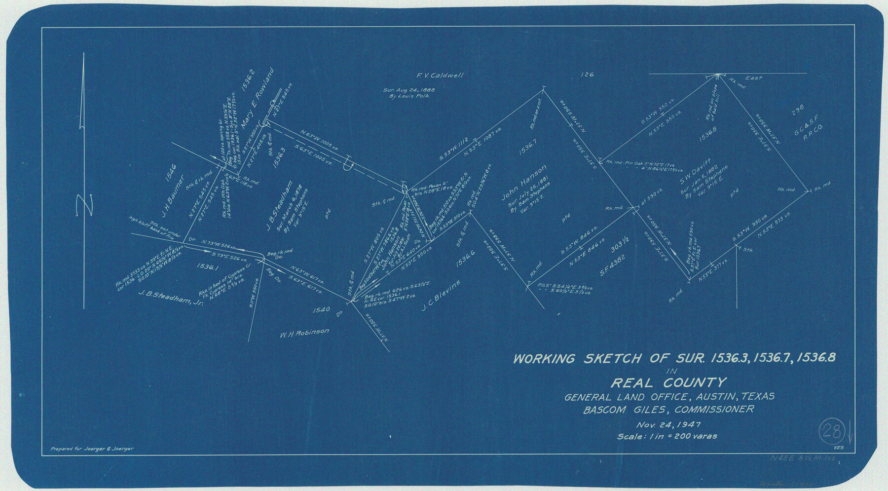
Real County Working Sketch 28
-
Map/Doc
71920
-
Collection
General Map Collection
-
Object Dates
11/24/1947 (Creation Date)
-
People and Organizations
Victor E. Sterzing (Draftsman)
-
Counties
Real
-
Subjects
Surveying Working Sketch
-
Height x Width
15.7 x 28.3 inches
39.9 x 71.9 cm
-
Scale
1" = 200 varas
Part of: General Map Collection
Briscoe County Working Sketch 5

Print $20.00
- Digital $50.00
Briscoe County Working Sketch 5
1934
Size 36.7 x 43.0 inches
Map/Doc 67808
Matagorda County Sketch File 28

Print $6.00
- Digital $50.00
Matagorda County Sketch File 28
1909
Size 14.2 x 8.8 inches
Map/Doc 30812
Parker County Working Sketch 16

Print $20.00
- Digital $50.00
Parker County Working Sketch 16
1990
Map/Doc 71466
Flight Mission No. BQR-7K, Frame 32, Brazoria County

Print $20.00
- Digital $50.00
Flight Mission No. BQR-7K, Frame 32, Brazoria County
1952
Size 18.6 x 22.2 inches
Map/Doc 84030
Matagorda County Rolled Sketch 38

Print $295.00
- Digital $50.00
Matagorda County Rolled Sketch 38
1984
Size 23.2 x 23.2 inches
Map/Doc 6697
Edwards County Working Sketch 21

Print $20.00
- Digital $50.00
Edwards County Working Sketch 21
1935
Size 26.7 x 32.0 inches
Map/Doc 68897
Tarrant County Sketch File 23

Print $4.00
- Digital $50.00
Tarrant County Sketch File 23
Size 6.1 x 8.2 inches
Map/Doc 37733
Goliad County Working Sketch 3

Print $40.00
- Digital $50.00
Goliad County Working Sketch 3
1916
Size 42.8 x 76.4 inches
Map/Doc 63193
Upshur County Sketch File 16

Print $20.00
- Digital $50.00
Upshur County Sketch File 16
1873
Size 19.1 x 28.0 inches
Map/Doc 12506
McMullen County Sketch File 15

Print $4.00
- Digital $50.00
McMullen County Sketch File 15
1876
Size 10.0 x 8.0 inches
Map/Doc 31363
Brewster County Sketch File S-1

Print $10.00
- Digital $50.00
Brewster County Sketch File S-1
1921
Size 13.3 x 8.8 inches
Map/Doc 15726
Cass County Sketch File 12

Print $4.00
- Digital $50.00
Cass County Sketch File 12
1851
Size 8.2 x 12.3 inches
Map/Doc 17414
You may also like
Flight Mission No. CGI-2N, Frame 154, Cameron County

Print $20.00
- Digital $50.00
Flight Mission No. CGI-2N, Frame 154, Cameron County
1954
Size 18.6 x 19.0 inches
Map/Doc 84536
Carson County Boundary File 8

Print $40.00
- Digital $50.00
Carson County Boundary File 8
Size 7.8 x 35.0 inches
Map/Doc 51171
McMullen County Rolled Sketch 7

Print $40.00
- Digital $50.00
McMullen County Rolled Sketch 7
1939
Size 38.8 x 51.7 inches
Map/Doc 9500

Flight Mission No. BQR-9K, Frame 43, Brazoria County

Print $20.00
- Digital $50.00
Flight Mission No. BQR-9K, Frame 43, Brazoria County
1952
Size 18.6 x 22.3 inches
Map/Doc 84047
Working Sketch in Moore County

Print $3.00
- Digital $50.00
Working Sketch in Moore County
1910
Size 15.0 x 10.0 inches
Map/Doc 91537
Lavaca County Working Sketch 13

Print $20.00
- Digital $50.00
Lavaca County Working Sketch 13
1958
Size 23.5 x 29.1 inches
Map/Doc 70366
Pecos County Rolled Sketch 176

Print $20.00
- Digital $50.00
Pecos County Rolled Sketch 176
1978
Size 14.1 x 33.6 inches
Map/Doc 7296

Goliad County Sketch File 8

Print $4.00
- Digital $50.00
Goliad County Sketch File 8
1848
Size 9.0 x 11.1 inches
Map/Doc 24221
Crosby County Sketch File 11a

Print $10.00
- Digital $50.00
Crosby County Sketch File 11a
1894
Size 8.7 x 4.4 inches
Map/Doc 20029
Bell County Sketch File 32

Print $10.00
- Digital $50.00
Bell County Sketch File 32
1905
Size 7.6 x 8.8 inches
Map/Doc 14447