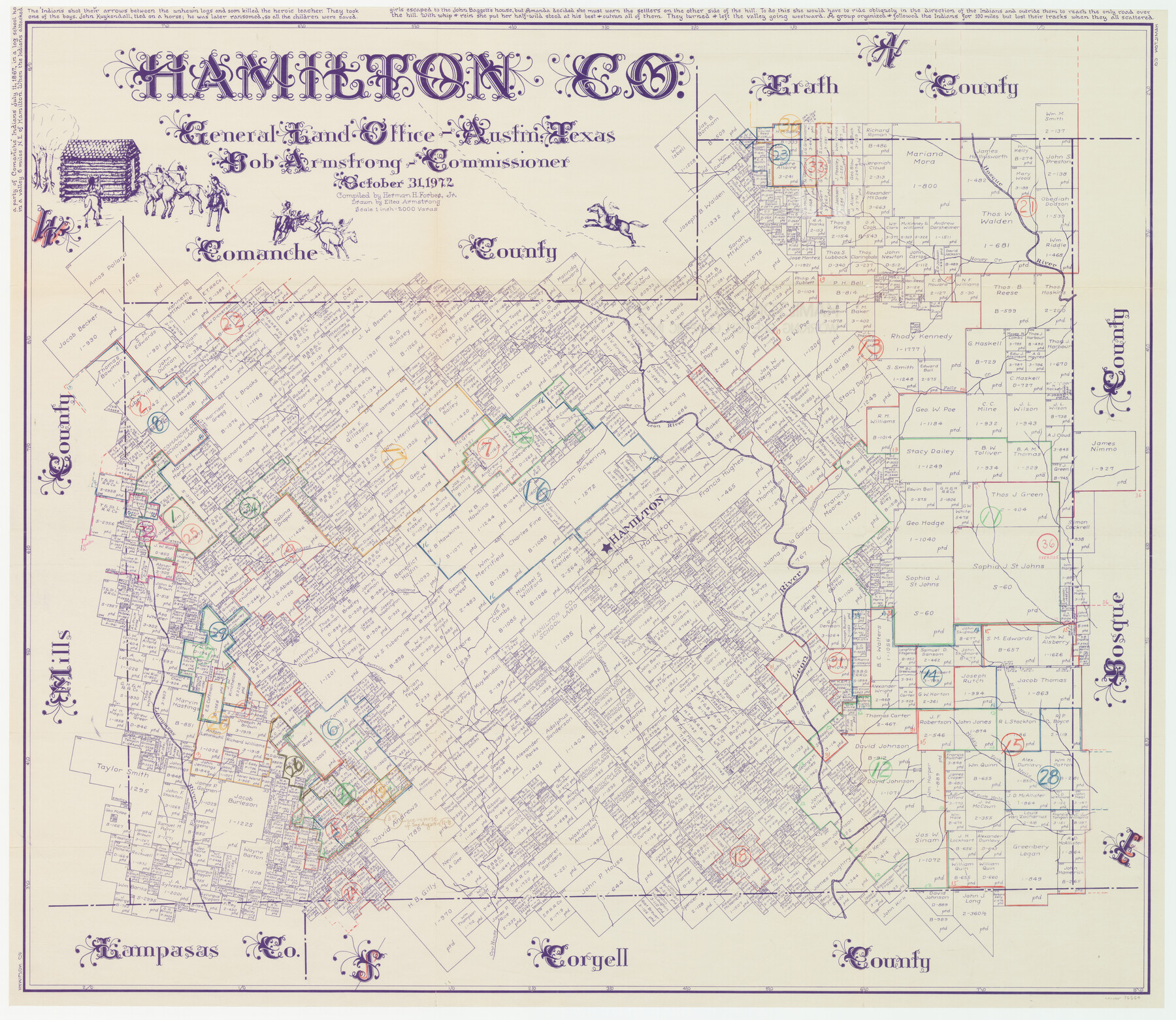
Hamilton County Working Sketch Graphic Index
-
Map/Doc
76564
-
Collection
General Map Collection
-
Object Dates
10/31/1972 (Creation Date)
-
People and Organizations
Herman H. Forbes, Jr. (Compiler)
Eltea Armstrong (Draftsman)
-
Counties
Hamilton
-
Subjects
County Surveying Working Sketch
-
Height x Width
34.3 x 39.8 inches
87.1 x 101.1 cm
-
Scale
1" = 2000 varas
Part of: General Map Collection
Dimmit County Sketch File 24

Print $4.00
- Digital $50.00
Dimmit County Sketch File 24
1885
Size 13.0 x 8.7 inches
Map/Doc 21140
[Surveys in Polk and Tyler Counties, Liberty District]
![354, [Surveys in Polk and Tyler Counties, Liberty District], General Map Collection](https://historictexasmaps.com/wmedia_w700/maps/354.tif.jpg)
Print $2.00
- Digital $50.00
[Surveys in Polk and Tyler Counties, Liberty District]
1847
Size 10.8 x 8.1 inches
Map/Doc 354
Right of Way and Track Map of The Missouri, Kansas & Texas Railway of Texas

Print $40.00
- Digital $50.00
Right of Way and Track Map of The Missouri, Kansas & Texas Railway of Texas
1918
Size 24.9 x 51.6 inches
Map/Doc 64535
Brazoria County Working Sketch 29

Print $20.00
- Digital $50.00
Brazoria County Working Sketch 29
1971
Size 30.6 x 28.3 inches
Map/Doc 67514
Medina County Rolled Sketch 13

Print $20.00
- Digital $50.00
Medina County Rolled Sketch 13
1979
Size 28.2 x 18.3 inches
Map/Doc 6747
Shackelford County Sketch File 7

Print $20.00
- Digital $50.00
Shackelford County Sketch File 7
1912
Size 27.2 x 13.5 inches
Map/Doc 12314
Bowie County Rolled Sketch 1

Print $20.00
- Digital $50.00
Bowie County Rolled Sketch 1
1965
Size 32.0 x 46.1 inches
Map/Doc 8927
Harris County Working Sketch 49

Print $20.00
- Digital $50.00
Harris County Working Sketch 49
1944
Size 28.7 x 33.9 inches
Map/Doc 65941
Wichita County Working Sketch Graphic Index

Print $20.00
- Digital $50.00
Wichita County Working Sketch Graphic Index
1971
Size 36.7 x 38.5 inches
Map/Doc 76739
Flight Mission No. BRE-5P, Frame 200, Nueces County

Print $20.00
- Digital $50.00
Flight Mission No. BRE-5P, Frame 200, Nueces County
1956
Size 18.6 x 22.7 inches
Map/Doc 86840
Coryell County Working Sketch 5

Print $20.00
- Digital $50.00
Coryell County Working Sketch 5
1940
Size 24.4 x 25.1 inches
Map/Doc 68212
Map of Nacogdoches County

Print $40.00
- Digital $50.00
Map of Nacogdoches County
1839
Size 83.3 x 79.2 inches
Map/Doc 16775
You may also like
Working Sketch in Hutchinson County

Print $2.00
- Digital $50.00
Working Sketch in Hutchinson County
1898
Size 8.7 x 15.4 inches
Map/Doc 92975
Travis County Working Sketch 4

Print $20.00
- Digital $50.00
Travis County Working Sketch 4
1906
Size 38.3 x 26.1 inches
Map/Doc 69388
Flight Mission No. CGI-1N, Frame 133, Cameron County

Print $20.00
- Digital $50.00
Flight Mission No. CGI-1N, Frame 133, Cameron County
1955
Size 18.5 x 22.1 inches
Map/Doc 84489
Nueces County Sketch File 15

Print $4.00
- Digital $50.00
Nueces County Sketch File 15
1874
Size 7.9 x 9.9 inches
Map/Doc 32545
La Salle County Boundary File 57

Print $26.00
- Digital $50.00
La Salle County Boundary File 57
Size 9.2 x 4.7 inches
Map/Doc 56242
Flight Mission No. CLL-1N, Frame 14, Willacy County

Print $20.00
- Digital $50.00
Flight Mission No. CLL-1N, Frame 14, Willacy County
1954
Size 18.2 x 22.1 inches
Map/Doc 87001
Kendall County Sketch File 4

Print $4.00
- Digital $50.00
Kendall County Sketch File 4
Size 7.8 x 8.6 inches
Map/Doc 28684
Bexar County Sketch File 36a

Print $10.00
- Digital $50.00
Bexar County Sketch File 36a
1873
Size 11.3 x 8.8 inches
Map/Doc 14507
Harris County Historic Topographic 18 1/2

Print $20.00
- Digital $50.00
Harris County Historic Topographic 18 1/2
1916
Size 29.3 x 13.7 inches
Map/Doc 65829
Falls County Sketch File 12

Print $8.00
- Digital $50.00
Falls County Sketch File 12
1870
Size 8.2 x 10.1 inches
Map/Doc 22364
Upton County Rolled Sketch 27

Print $40.00
- Digital $50.00
Upton County Rolled Sketch 27
1945
Size 42.1 x 62.1 inches
Map/Doc 10046
Coryell County Boundary File 1 and 1a

Print $8.00
- Digital $50.00
Coryell County Boundary File 1 and 1a
Size 8.2 x 3.3 inches
Map/Doc 51890