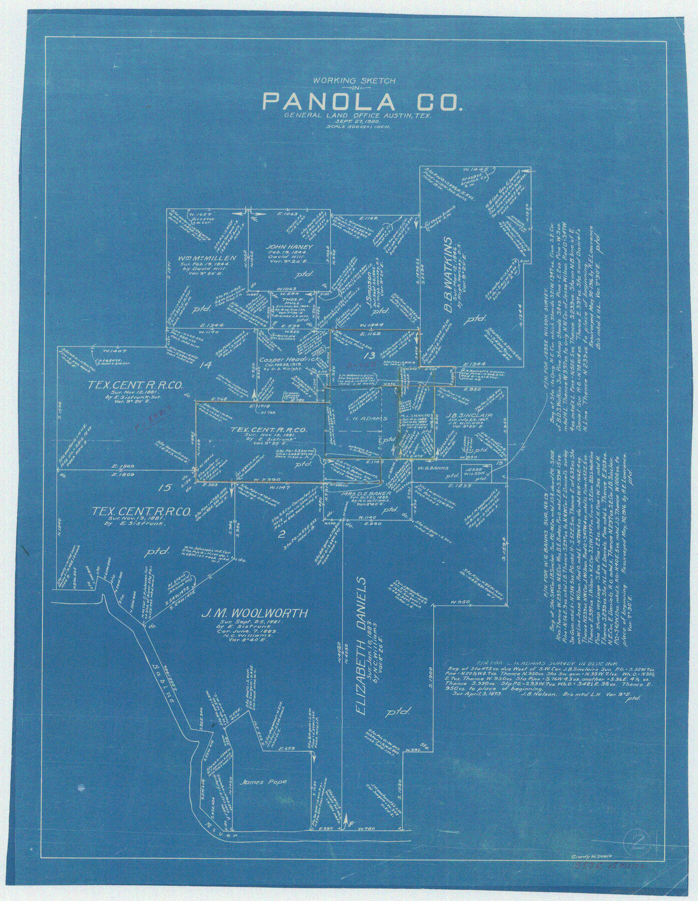
Panola County Working Sketch 2
-
Map/Doc
71411
-
Collection
General Map Collection
-
Object Dates
9/27/1920 (Creation Date)
-
People and Organizations
Grady W. Davis (Draftsman)
-
Counties
Panola
-
Subjects
Surveying Working Sketch
-
Scale
1" = 500 varas
Part of: General Map Collection
Flight Mission No. CRE-2R, Frame 86, Jackson County

Print $20.00
- Digital $50.00
Flight Mission No. CRE-2R, Frame 86, Jackson County
1956
Size 16.0 x 15.8 inches
Map/Doc 85358
Webb County Working Sketch 95

Print $20.00
- Digital $50.00
Webb County Working Sketch 95
1991
Size 16.6 x 42.2 inches
Map/Doc 72462
Montgomery County Rolled Sketch 46

Print $20.00
- Digital $50.00
Montgomery County Rolled Sketch 46
2006
Size 28.2 x 23.0 inches
Map/Doc 87940
Geographically Correct County Map showing the lines of the Cotton Belt Route (St. Louis Southwestern Railway Co., St. Louis Southwestern Railway Co. of Texas, Tyler Southeastern Railway Co.) and Connections

Print $20.00
- Digital $50.00
Geographically Correct County Map showing the lines of the Cotton Belt Route (St. Louis Southwestern Railway Co., St. Louis Southwestern Railway Co. of Texas, Tyler Southeastern Railway Co.) and Connections
1900
Size 35.2 x 30.4 inches
Map/Doc 95147
Palo Pinto County Working Sketch 9

Print $20.00
- Digital $50.00
Palo Pinto County Working Sketch 9
1922
Map/Doc 71392
Map of Nacogdoches County

Print $20.00
- Digital $50.00
Map of Nacogdoches County
1881
Size 23.7 x 21.0 inches
Map/Doc 4599
Menard County Working Sketch 16

Print $40.00
- Digital $50.00
Menard County Working Sketch 16
1946
Size 49.1 x 39.1 inches
Map/Doc 70963
Sterling County Sketch File 14

Print $20.00
- Digital $50.00
Sterling County Sketch File 14
Size 18.9 x 16.4 inches
Map/Doc 12360
Flight Mission No. DAG-26K, Frame 82, Matagorda County

Print $20.00
- Digital $50.00
Flight Mission No. DAG-26K, Frame 82, Matagorda County
1953
Size 18.4 x 19.1 inches
Map/Doc 86587
Crockett County Rolled Sketch 88B

Print $20.00
- Digital $50.00
Crockett County Rolled Sketch 88B
1973
Size 35.1 x 38.9 inches
Map/Doc 8727
Archer County Sketch File 21

Print $40.00
- Digital $50.00
Archer County Sketch File 21
Size 30.3 x 19.8 inches
Map/Doc 10830
Plan of the City of Austin

Print $40.00
- Digital $50.00
Plan of the City of Austin
1840
Size 56.2 x 42.0 inches
Map/Doc 4837
You may also like
Map of Erath County

Print $20.00
- Digital $50.00
Map of Erath County
1872
Size 20.2 x 19.8 inches
Map/Doc 3521
Montgomery County Sketch File 24

Print $6.00
- Digital $50.00
Montgomery County Sketch File 24
Size 12.2 x 8.0 inches
Map/Doc 31867
Flight Mission No. CUG-3P, Frame 138, Kleberg County

Print $20.00
- Digital $50.00
Flight Mission No. CUG-3P, Frame 138, Kleberg County
1956
Size 18.6 x 22.4 inches
Map/Doc 86273
Calhoun County Sketch File 4

Print $14.00
- Digital $50.00
Calhoun County Sketch File 4
1908
Size 11.0 x 6.9 inches
Map/Doc 35901
Brazos River, Fresno Sheet

Print $20.00
- Digital $50.00
Brazos River, Fresno Sheet
1938
Size 31.3 x 38.4 inches
Map/Doc 65289
Val Verde County Working Sketch 120

Print $40.00
- Digital $50.00
Val Verde County Working Sketch 120
2005
Size 30.7 x 50.0 inches
Map/Doc 83589
Anderson County Sketch File 12

Print $6.00
- Digital $50.00
Anderson County Sketch File 12
1852
Size 13.7 x 8.3 inches
Map/Doc 12771
Andrews County Rolled Sketch 12B

Print $20.00
- Digital $50.00
Andrews County Rolled Sketch 12B
1933
Size 39.9 x 37.8 inches
Map/Doc 8392
Orange County Working Sketch 30

Print $20.00
- Digital $50.00
Orange County Working Sketch 30
1953
Size 19.7 x 34.2 inches
Map/Doc 71362
Carta Agricola

Print $20.00
- Digital $50.00
Carta Agricola
1897
Size 26.0 x 34.3 inches
Map/Doc 96804
Shelby County Sketch File 18

Print $4.00
- Digital $50.00
Shelby County Sketch File 18
1875
Size 7.2 x 6.1 inches
Map/Doc 36636
The University of Texas at Austin

The University of Texas at Austin
Size 16.0 x 17.1 inches
Map/Doc 94388