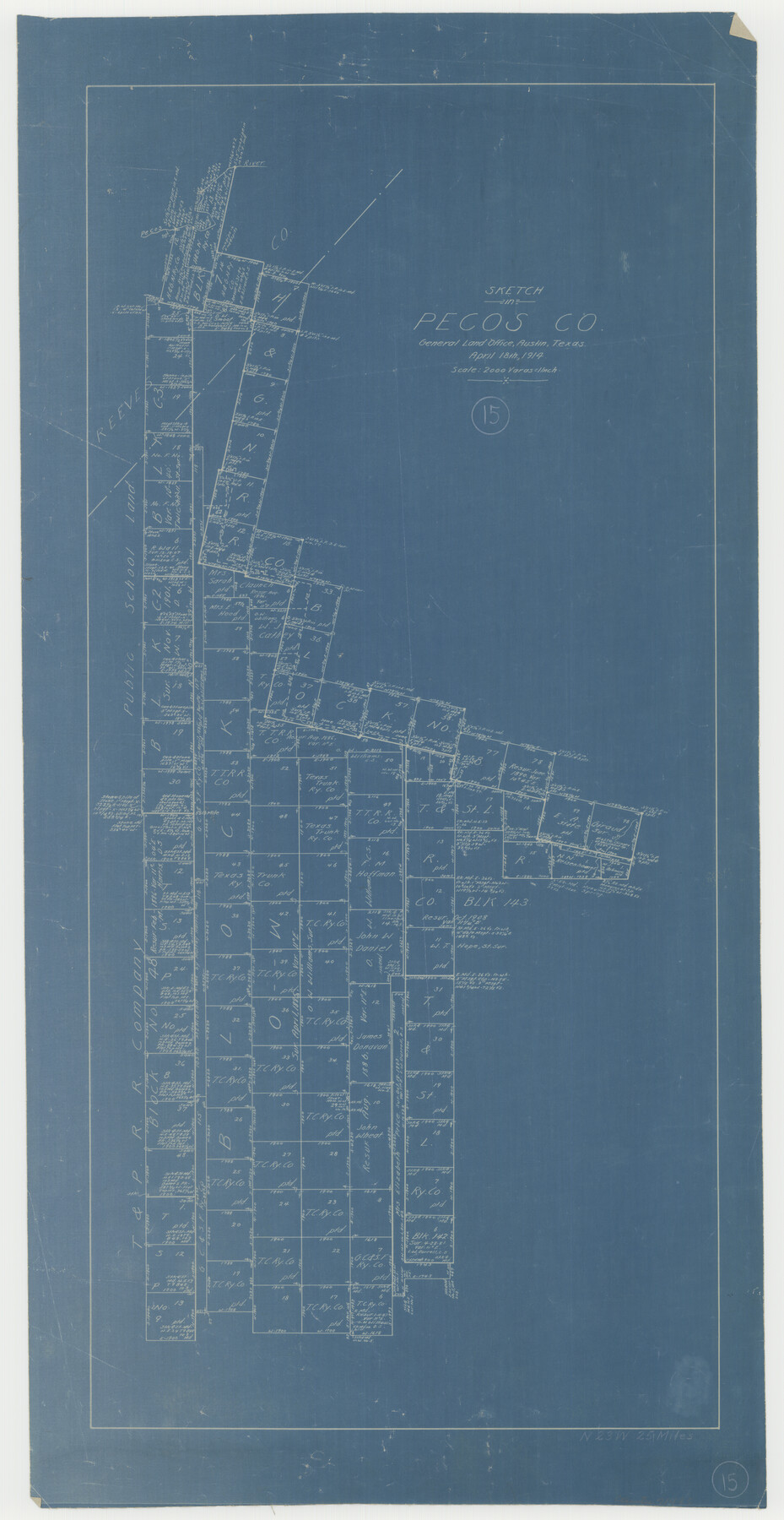
Pecos County Working Sketch 15
-
Map/Doc
71485
-
Collection
General Map Collection
-
Object Dates
4/18/1914 (Creation Date)
-
Counties
Pecos
-
Subjects
Surveying Working Sketch
-
Height x Width
29.8 x 15.4 inches
75.7 x 39.1 cm
-
Scale
1" = 2000 varas
Part of: General Map Collection
Fannin County Boundary File 10a and 10b and 10c

Print $4.00
- Digital $50.00
Fannin County Boundary File 10a and 10b and 10c
Size 11.2 x 9.0 inches
Map/Doc 53328
Map of Part of Texas Prison System, Blue Ridge State Farm, Fort Bend and Harris Counties

Print $20.00
- Digital $50.00
Map of Part of Texas Prison System, Blue Ridge State Farm, Fort Bend and Harris Counties
Size 24.1 x 26.3 inches
Map/Doc 62981
Edwards County Working Sketch 62

Print $20.00
- Digital $50.00
Edwards County Working Sketch 62
1955
Size 21.7 x 28.5 inches
Map/Doc 68938
Kendall County Working Sketch 9

Print $40.00
- Digital $50.00
Kendall County Working Sketch 9
1953
Size 52.8 x 37.2 inches
Map/Doc 66681
Cottle County Working Sketch 22

Print $40.00
- Digital $50.00
Cottle County Working Sketch 22
1982
Size 44.0 x 75.0 inches
Map/Doc 68332
Orange County Sketch File 14a

Print $4.00
- Digital $50.00
Orange County Sketch File 14a
1886
Size 8.1 x 10.2 inches
Map/Doc 33328
Fisher County Sketch File 5

Print $20.00
- Digital $50.00
Fisher County Sketch File 5
1887
Size 35.3 x 47.6 inches
Map/Doc 10449
San Patricio County Rolled Sketch 27

Print $40.00
- Digital $50.00
San Patricio County Rolled Sketch 27
Size 49.5 x 37.8 inches
Map/Doc 9890
Real County Working Sketch 44

Print $20.00
- Digital $50.00
Real County Working Sketch 44
1953
Size 28.3 x 24.3 inches
Map/Doc 71936
Montague County Working Sketch 43

Print $20.00
- Digital $50.00
Montague County Working Sketch 43
2010
Size 23.3 x 27.2 inches
Map/Doc 89284
Duval County Rolled Sketch 24

Print $20.00
- Digital $50.00
Duval County Rolled Sketch 24
1944
Size 24.5 x 42.3 inches
Map/Doc 5743

You may also like
Reagan County Sketch File 30

Print $20.00
- Digital $50.00
Reagan County Sketch File 30
1951
Size 27.4 x 20.3 inches
Map/Doc 12226
Kendall County Sketch File 9

Print $6.00
- Digital $50.00
Kendall County Sketch File 9
1879
Size 4.6 x 9.3 inches
Map/Doc 28692
Polk County Sketch File 24

Print $20.00
- Digital $50.00
Polk County Sketch File 24
Size 14.3 x 30.8 inches
Map/Doc 12193
Young County Rolled Sketch 6

Print $20.00
- Digital $50.00
Young County Rolled Sketch 6
Size 43.4 x 30.8 inches
Map/Doc 8294


Baylor County Sketch File Z5

Print $4.00
- Digital $50.00
Baylor County Sketch File Z5
1902
Size 11.5 x 8.9 inches
Map/Doc 14115
Hutchinson County Rolled Sketch 31

Print $75.00
- Digital $50.00
Hutchinson County Rolled Sketch 31
1908
Size 19.3 x 15.8 inches
Map/Doc 6292
Real County Sketch File 13

Print $20.00
- Digital $50.00
Real County Sketch File 13
Size 23.2 x 17.9 inches
Map/Doc 12232
Renderbrook Ranch

Print $20.00
- Digital $50.00
Renderbrook Ranch
1932
Size 16.9 x 13.5 inches
Map/Doc 92279
[H. & G. N. Block 12 and surveys and blocks south]
![91610, [H. & G. N. Block 12 and surveys and blocks south], Twichell Survey Records](https://historictexasmaps.com/wmedia_w700/maps/91610-1.tif.jpg)
Print $20.00
- Digital $50.00
[H. & G. N. Block 12 and surveys and blocks south]
1907
Size 27.9 x 24.0 inches
Map/Doc 91610
Somervell County

Print $20.00
- Digital $50.00
Somervell County
1884
Size 29.5 x 31.3 inches
Map/Doc 63041