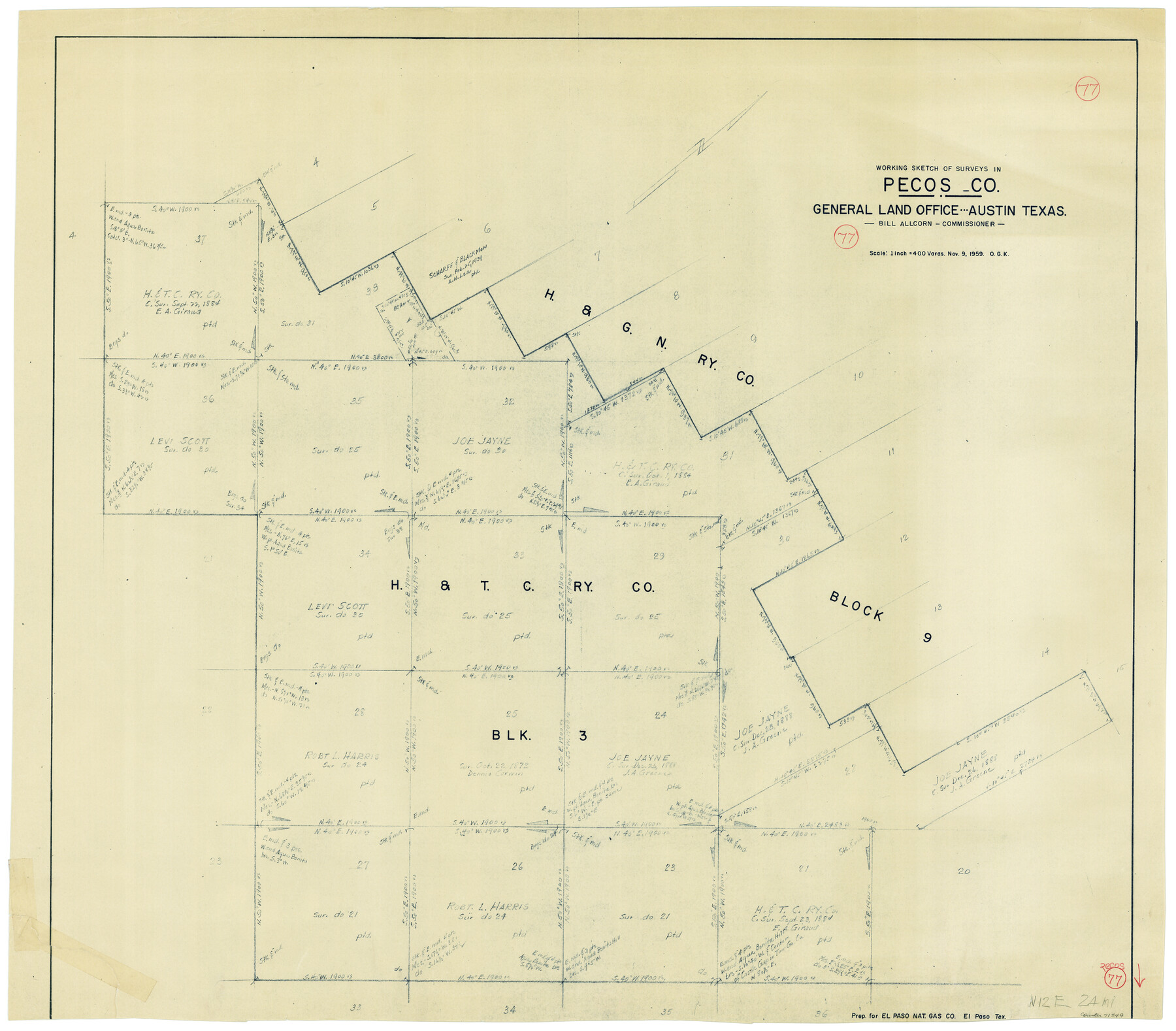
Pecos County Working Sketch 77
-
Map/Doc
71549
-
Collection
General Map Collection
-
Object Dates
11/9/1959 (Creation Date)
-
People and Organizations
Otto G. Kurio (Draftsman)
-
Counties
Pecos
-
Subjects
Surveying Working Sketch
-
Height x Width
32.0 x 36.4 inches
81.3 x 92.5 cm
-
Scale
1" = 400 varas
Part of: General Map Collection
Bandera County Working Sketch 20

Print $20.00
- Digital $50.00
Bandera County Working Sketch 20
1947
Size 25.4 x 19.8 inches
Map/Doc 67616
Dickens County Sketch File 37

Print $8.00
- Digital $50.00
Dickens County Sketch File 37
Size 10.3 x 8.3 inches
Map/Doc 21044
Flight Mission No. BRE-2P, Frame 41, Nueces County

Print $20.00
- Digital $50.00
Flight Mission No. BRE-2P, Frame 41, Nueces County
1956
Size 18.5 x 22.4 inches
Map/Doc 86743
Archer County Sketch File 28-2

Print $40.00
- Digital $50.00
Archer County Sketch File 28-2
Size 21.4 x 16.9 inches
Map/Doc 10835
Schleicher County

Print $40.00
- Digital $50.00
Schleicher County
1898
Size 35.0 x 52.8 inches
Map/Doc 78396
Marion County Rolled Sketch S

Print $20.00
- Digital $50.00
Marion County Rolled Sketch S
1937
Size 18.8 x 18.1 inches
Map/Doc 6663
Sutton County Sketch File 23

Print $30.00
- Digital $50.00
Sutton County Sketch File 23
1918
Size 14.2 x 8.5 inches
Map/Doc 37461
Orange County Working Sketch 45

Print $20.00
- Digital $50.00
Orange County Working Sketch 45
1982
Size 25.6 x 24.2 inches
Map/Doc 71377
Presidio County Working Sketch 149

Print $20.00
- Digital $50.00
Presidio County Working Sketch 149
2002
Size 24.0 x 24.0 inches
Map/Doc 93489
Nueces County Rolled Sketch 60

Print $40.00
- Digital $50.00
Nueces County Rolled Sketch 60
Size 95.5 x 32.3 inches
Map/Doc 9607
Goliad County Sketch File 26a

Print $10.00
- Digital $50.00
Goliad County Sketch File 26a
Size 12.8 x 8.3 inches
Map/Doc 24321
Wilbarger County Sketch File 21

Print $4.00
- Digital $50.00
Wilbarger County Sketch File 21
1889
Size 11.1 x 8.6 inches
Map/Doc 40219
You may also like
[Sketch of area around Mary Fury and John P. Rohus Surveys]
![91917, [Sketch of area around Mary Fury and John P. Rohus Surveys], Twichell Survey Records](https://historictexasmaps.com/wmedia_w700/maps/91917-1.tif.jpg)
Print $20.00
- Digital $50.00
[Sketch of area around Mary Fury and John P. Rohus Surveys]
Size 19.4 x 19.7 inches
Map/Doc 91917
Gregg County Rolled Sketch 11

Print $20.00
- Digital $50.00
Gregg County Rolled Sketch 11
Size 32.7 x 30.5 inches
Map/Doc 6036
General Highway Map, Lynn County, Texas

Print $20.00
General Highway Map, Lynn County, Texas
1940
Size 18.2 x 24.9 inches
Map/Doc 79182
Pecos County Working Sketch 115

Print $40.00
- Digital $50.00
Pecos County Working Sketch 115
1973
Size 54.6 x 31.8 inches
Map/Doc 71588
Rockwall County Working Sketch Graphic Index

Print $20.00
- Digital $50.00
Rockwall County Working Sketch Graphic Index
1941
Size 30.0 x 23.5 inches
Map/Doc 76686
Duval County Working Sketch 28

Print $20.00
- Digital $50.00
Duval County Working Sketch 28
1948
Size 29.7 x 37.4 inches
Map/Doc 68752
Map of Hays County Travis District

Print $20.00
- Digital $50.00
Map of Hays County Travis District
1861
Size 18.6 x 26.0 inches
Map/Doc 3648
Brewster County Sketch File N-20

Print $40.00
- Digital $50.00
Brewster County Sketch File N-20
1941
Size 16.5 x 20.5 inches
Map/Doc 10967
Map of the United States and Texas Boundary Line and adjacent territory determined & surveyed in 1857-8-9-60 by J.H. Clark, U.S. Commissioner, &ca. &ca. under the direction of the Departement [sic] of the Interior
![94063, Map of the United States and Texas Boundary Line and adjacent territory determined & surveyed in 1857-8-9-60 by J.H. Clark, U.S. Commissioner, &ca. &ca. under the direction of the Departement [sic] of the Interior, General Map Collection](https://historictexasmaps.com/wmedia_w700/maps/94063.tif.jpg)
Print $20.00
- Digital $50.00
Map of the United States and Texas Boundary Line and adjacent territory determined & surveyed in 1857-8-9-60 by J.H. Clark, U.S. Commissioner, &ca. &ca. under the direction of the Departement [sic] of the Interior
1902
Size 27.9 x 41.8 inches
Map/Doc 94063
Pecos County Rolled Sketch 19 1/2

Print $20.00
- Digital $50.00
Pecos County Rolled Sketch 19 1/2
1885
Size 41.9 x 17.6 inches
Map/Doc 7208
Montague County Boundary File 2d

Print $4.00
- Digital $50.00
Montague County Boundary File 2d
Size 12.5 x 8.2 inches
Map/Doc 57432
Dimmit County Working Sketch 26

Print $20.00
- Digital $50.00
Dimmit County Working Sketch 26
1956
Size 19.3 x 15.9 inches
Map/Doc 68687