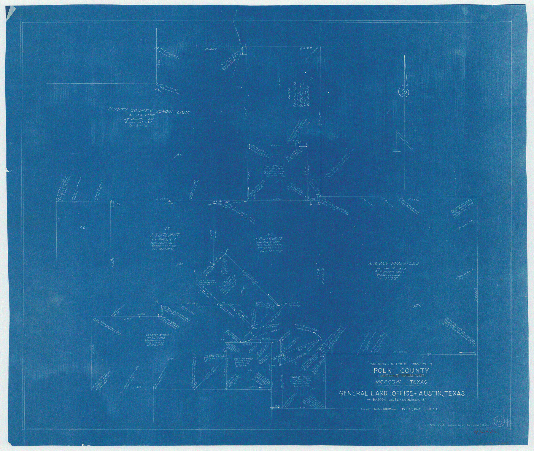
Polk County Working Sketch 15
-
Map/Doc
71630
-
Collection
General Map Collection
-
Object Dates
2/11/1947 (Creation Date)
-
Counties
Polk
-
Subjects
Surveying Working Sketch
-
Height x Width
27.4 x 32.4 inches
69.6 x 82.3 cm
-
Scale
1" = 300 varas
Part of: General Map Collection
Tom Green County Sketch File 79B

Print $20.00
- Digital $50.00
Tom Green County Sketch File 79B
1959
Size 18.5 x 23.8 inches
Map/Doc 12451
Flight Mission No. DIX-7P, Frame 16, Aransas County

Print $20.00
- Digital $50.00
Flight Mission No. DIX-7P, Frame 16, Aransas County
1956
Size 18.9 x 22.5 inches
Map/Doc 83868
Flight Mission No. BQR-22K, Frame 38, Brazoria County

Print $20.00
- Digital $50.00
Flight Mission No. BQR-22K, Frame 38, Brazoria County
1953
Size 18.5 x 22.3 inches
Map/Doc 84122
Aransas County Rolled Sketch 9

Print $40.00
- Digital $50.00
Aransas County Rolled Sketch 9
1955
Size 85.3 x 41.9 inches
Map/Doc 8409
Aransas County Rolled Sketch 31

Print $20.00
- Digital $50.00
Aransas County Rolled Sketch 31
1986
Size 30.0 x 41.4 inches
Map/Doc 77498
Flight Mission No. BRA-3M, Frame 121, Jefferson County

Print $20.00
- Digital $50.00
Flight Mission No. BRA-3M, Frame 121, Jefferson County
1953
Size 18.8 x 22.3 inches
Map/Doc 85395
Donley County Working Sketch 11

Print $20.00
- Digital $50.00
Donley County Working Sketch 11
1904
Size 43.7 x 41.1 inches
Map/Doc 68744
Montgomery County Working Sketch 1

Print $20.00
- Digital $50.00
Montgomery County Working Sketch 1
1912
Size 20.8 x 17.1 inches
Map/Doc 71107
Map of Milam County

Print $20.00
- Digital $50.00
Map of Milam County
1868
Size 28.2 x 23.9 inches
Map/Doc 3882
Kleberg County Boundary File 2d

Print $20.00
- Digital $50.00
Kleberg County Boundary File 2d
Size 9.1 x 34.6 inches
Map/Doc 64980
Stephens County Sketch File 20

Print $20.00
- Digital $50.00
Stephens County Sketch File 20
Size 19.2 x 36.7 inches
Map/Doc 12350
Val Verde County Rolled Sketch 69A

Print $40.00
- Digital $50.00
Val Verde County Rolled Sketch 69A
1942
Size 11.0 x 139.1 inches
Map/Doc 10086
You may also like
Section J Tech Memorial Park, Inc. Infants Garden

Print $2.00
- Digital $50.00
Section J Tech Memorial Park, Inc. Infants Garden
1949
Size 8.8 x 13.0 inches
Map/Doc 92352
Old Miscellaneous File 22

Print $18.00
- Digital $50.00
Old Miscellaneous File 22
1915
Size 14.2 x 8.7 inches
Map/Doc 75591
General Highway Map, Burnet County, Texas

Print $20.00
General Highway Map, Burnet County, Texas
1961
Size 18.2 x 24.5 inches
Map/Doc 79393

Plainview, Texas

Print $20.00
- Digital $50.00
Plainview, Texas
1905
Size 24.8 x 30.8 inches
Map/Doc 90716
Coast Chart No. 210 Aransas Pass and Corpus Christi Bay with the coast to latitude 27° 12' Texas

Print $20.00
- Digital $50.00
Coast Chart No. 210 Aransas Pass and Corpus Christi Bay with the coast to latitude 27° 12' Texas
1887
Size 27.5 x 18.3 inches
Map/Doc 72787
Duval County Working Sketch 40

Print $20.00
- Digital $50.00
Duval County Working Sketch 40
1960
Size 19.5 x 16.6 inches
Map/Doc 68764
Liberty County Rolled Sketch N

Print $20.00
- Digital $50.00
Liberty County Rolled Sketch N
Size 44.7 x 38.5 inches
Map/Doc 10180
Orange County Sketch File 9b

Print $22.00
- Digital $50.00
Orange County Sketch File 9b
1873
Size 14.6 x 12.6 inches
Map/Doc 33315
Bosque County Rolled Sketch 3

Print $20.00
- Digital $50.00
Bosque County Rolled Sketch 3
Size 24.6 x 19.1 inches
Map/Doc 89015
Briscoe County Working Sketch 7

Print $20.00
- Digital $50.00
Briscoe County Working Sketch 7
1944
Size 18.5 x 20.4 inches
Map/Doc 67810
Atascosa County Working Sketch 8

Print $20.00
- Digital $50.00
Atascosa County Working Sketch 8
1913
Size 15.5 x 19.8 inches
Map/Doc 67204