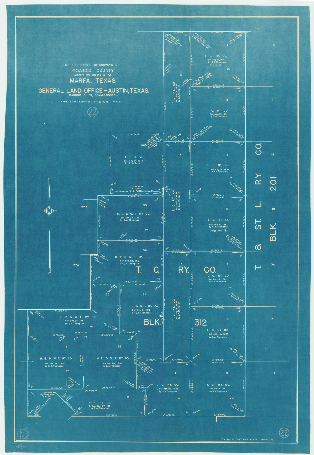
Presidio County Working Sketch 22
-
Map/Doc
71698
-
Collection
General Map Collection
-
Object Dates
3/22/1945 (Creation Date)
-
People and Organizations
Otto G. Kurio (Draftsman)
-
Counties
Presidio
-
Subjects
Surveying Working Sketch
-
Height x Width
31.7 x 21.9 inches
80.5 x 55.6 cm
-
Scale
1" = 500 varas
Part of: General Map Collection
Medina County Working Sketch 32

Print $20.00
- Digital $50.00
Medina County Working Sketch 32
1994
Size 30.4 x 42.4 inches
Map/Doc 70947
Map of Harris County

Print $20.00
- Digital $50.00
Map of Harris County
1893
Size 29.7 x 33.8 inches
Map/Doc 3632
Flight Mission No. BRA-8M, Frame 68, Jefferson County

Print $20.00
- Digital $50.00
Flight Mission No. BRA-8M, Frame 68, Jefferson County
1953
Size 18.6 x 22.4 inches
Map/Doc 85588
Flight Mission No. DQN-7K, Frame 16, Calhoun County

Print $20.00
- Digital $50.00
Flight Mission No. DQN-7K, Frame 16, Calhoun County
1953
Size 18.5 x 22.1 inches
Map/Doc 84467
Texas 1972 Official Highway Travel Map

Digital $50.00
Texas 1972 Official Highway Travel Map
Size 27.9 x 36.0 inches
Map/Doc 94313
Angelina County Sketch File 26

Print $40.00
- Digital $50.00
Angelina County Sketch File 26
1909
Size 18.0 x 23.0 inches
Map/Doc 10817
Gregg County Rolled Sketch JE

Print $94.00
- Digital $50.00
Gregg County Rolled Sketch JE
1931
Size 30.9 x 42.9 inches
Map/Doc 9023
Corpus Christi Harbor

Print $40.00
- Digital $50.00
Corpus Christi Harbor
1976
Size 37.1 x 51.5 inches
Map/Doc 73480
Andrews County Rolled Sketch 27

Print $40.00
- Digital $50.00
Andrews County Rolled Sketch 27
1947
Size 19.0 x 118.7 inches
Map/Doc 8399
Fayette County

Print $40.00
- Digital $50.00
Fayette County
1920
Size 42.7 x 49.8 inches
Map/Doc 4945
Flight Mission No. BRA-6M, Frame 76, Jefferson County

Print $20.00
- Digital $50.00
Flight Mission No. BRA-6M, Frame 76, Jefferson County
1953
Size 18.6 x 22.4 inches
Map/Doc 85420
Harris County Sketch File 1

Print $20.00
- Digital $50.00
Harris County Sketch File 1
Size 14.8 x 12.6 inches
Map/Doc 25332
You may also like
Hockley County Boundary File 1

Print $8.00
- Digital $50.00
Hockley County Boundary File 1
Size 13.5 x 8.5 inches
Map/Doc 54798
Uvalde County Working Sketch 67

Print $20.00
- Digital $50.00
Uvalde County Working Sketch 67
1956
Size 22.8 x 20.9 inches
Map/Doc 75973
Brewster County Working Sketch 67

Print $20.00
- Digital $50.00
Brewster County Working Sketch 67
1958
Size 41.9 x 42.0 inches
Map/Doc 67668
Trinity County

Print $20.00
- Digital $50.00
Trinity County
1946
Size 40.5 x 40.7 inches
Map/Doc 77440
Terrell County Sketch File 10

Print $44.00
- Digital $50.00
Terrell County Sketch File 10
1902
Size 9.7 x 4.6 inches
Map/Doc 37910
General Highway Map, Bexar County, Texas

Print $20.00
General Highway Map, Bexar County, Texas
1940
Size 18.4 x 25.1 inches
Map/Doc 79016
Wood County Working Sketch 5

Print $20.00
- Digital $50.00
Wood County Working Sketch 5
1941
Size 27.8 x 38.7 inches
Map/Doc 62005
Hudspeth County Rolled Sketch 46

Print $40.00
- Digital $50.00
Hudspeth County Rolled Sketch 46
Size 10.2 x 128.3 inches
Map/Doc 76039
Chambers County Sketch File 13

Print $6.00
- Digital $50.00
Chambers County Sketch File 13
1873
Size 9.8 x 12.4 inches
Map/Doc 17558
Map of Hays County, Texas

Print $20.00
- Digital $50.00
Map of Hays County, Texas
1880
Size 28.9 x 23.6 inches
Map/Doc 401
Liberty County Rolled Sketch 15

Print $20.00
- Digital $50.00
Liberty County Rolled Sketch 15
2015
Size 36.1 x 24.3 inches
Map/Doc 94025
Burnet County Boundary File 12a

Print $8.00
- Digital $50.00
Burnet County Boundary File 12a
Size 12.9 x 8.7 inches
Map/Doc 50956