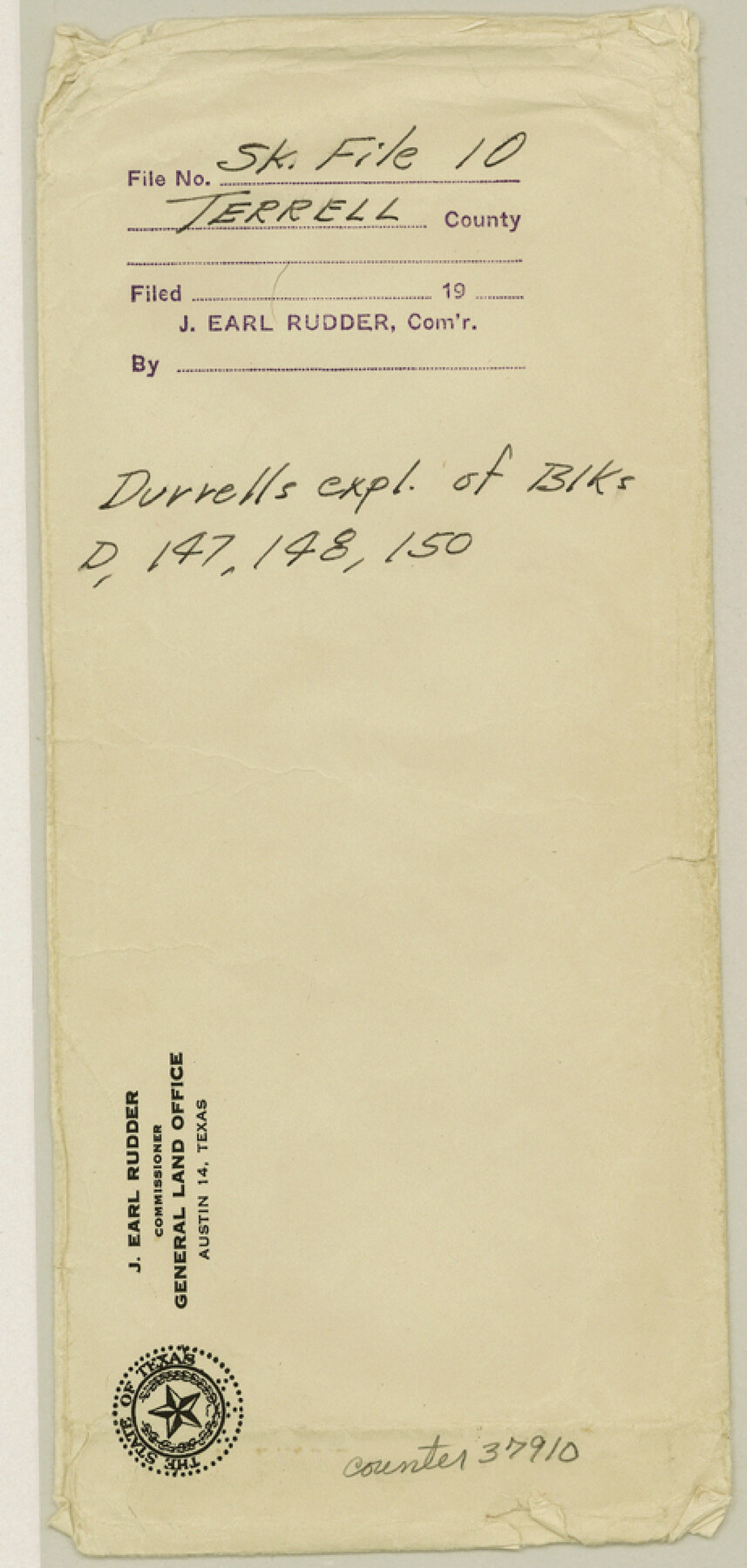
Terrell County Sketch File 10
[Sketch and explanation regarding Blocks 147, 148, and 149]
-
Map/Doc
37910
-
Collection
General Map Collection
-
Object Dates
1902 (Creation Date)
12/22/1902 (File Date)
-
People and Organizations
Jas. F. Weed (Surveyor/Engineer)
L.W. Durrell (Surveyor/Engineer)
-
Counties
Terrell
-
Subjects
Surveying Sketch File
-
Height x Width
9.7 x 4.6 inches
24.6 x 11.7 cm
-
Medium
multi-page, multi-format
-
Features
Myers Spring
Military Road
Painted Spring
Part of: General Map Collection
Sutton County Sketch File 11

Print $10.00
- Digital $50.00
Sutton County Sketch File 11
1898
Size 14.2 x 8.8 inches
Map/Doc 37374
Cochran County Sketch File 1

Print $20.00
- Digital $50.00
Cochran County Sketch File 1
Size 44.6 x 32.5 inches
Map/Doc 10337
Map of Bowie County

Print $20.00
- Digital $50.00
Map of Bowie County
1884
Size 19.4 x 23.7 inches
Map/Doc 3319
Brewster County Rolled Sketch 86

Print $20.00
- Digital $50.00
Brewster County Rolled Sketch 86
1940
Size 16.1 x 26.4 inches
Map/Doc 5247
St. L. S.-W. Ry. of Texas, Map of Lufkin Branch in Smith County, Texas

Print $40.00
- Digital $50.00
St. L. S.-W. Ry. of Texas, Map of Lufkin Branch in Smith County, Texas
1912
Size 24.3 x 122.9 inches
Map/Doc 64692
Clay County Sketch File 41

Print $6.00
- Digital $50.00
Clay County Sketch File 41
1949
Size 14.2 x 8.6 inches
Map/Doc 18482
Map of the State of Texas [East Part]
![81920, Map of the State of Texas [East Part], General Map Collection](https://historictexasmaps.com/wmedia_w700/maps/81920.tif.jpg)
Print $40.00
- Digital $50.00
Map of the State of Texas [East Part]
1938
Size 67.8 x 37.3 inches
Map/Doc 81920

[Surveys on the San Marcos River]
![149, [Surveys on the San Marcos River], General Map Collection](https://historictexasmaps.com/wmedia_w700/maps/149.tif.jpg)
Print $20.00
- Digital $50.00
[Surveys on the San Marcos River]
Size 14.1 x 12.4 inches
Map/Doc 149
[Galveston, Harrisburg & San Antonio Railroad from Cuero to Stockdale]
![64197, [Galveston, Harrisburg & San Antonio Railroad from Cuero to Stockdale], General Map Collection](https://historictexasmaps.com/wmedia_w700/maps/64197.tif.jpg)
Print $20.00
- Digital $50.00
[Galveston, Harrisburg & San Antonio Railroad from Cuero to Stockdale]
1907
Size 13.9 x 34.1 inches
Map/Doc 64197
Bexar County Rolled Sketch 4B

Print $20.00
- Digital $50.00
Bexar County Rolled Sketch 4B
1989
Size 24.3 x 36.7 inches
Map/Doc 5139
Red River County Working Sketch 63

Print $20.00
- Digital $50.00
Red River County Working Sketch 63
1973
Size 43.6 x 37.0 inches
Map/Doc 72046
You may also like
Robertson County Working Sketch 7

Print $20.00
- Digital $50.00
Robertson County Working Sketch 7
1983
Size 36.6 x 38.3 inches
Map/Doc 78228
Edwards County Working Sketch 16

Print $20.00
- Digital $50.00
Edwards County Working Sketch 16
1929
Size 21.5 x 21.5 inches
Map/Doc 68892
Map of La Salle County

Print $20.00
- Digital $50.00
Map of La Salle County
1879
Size 26.2 x 25.3 inches
Map/Doc 3799
A General Map of North America; In which is Express'd the several New Roads, Forts, Engagements, & c. taken from Actual Surveys and Observations Made in the Army employ'd there

Print $20.00
- Digital $50.00
A General Map of North America; In which is Express'd the several New Roads, Forts, Engagements, & c. taken from Actual Surveys and Observations Made in the Army employ'd there
1761
Size 37.6 x 38.6 inches
Map/Doc 93827
Flight Mission No. DIX-8P, Frame 84, Aransas County

Print $20.00
- Digital $50.00
Flight Mission No. DIX-8P, Frame 84, Aransas County
1956
Size 18.6 x 22.3 inches
Map/Doc 83909
Burleson County

Print $20.00
- Digital $50.00
Burleson County
1920
Size 40.7 x 45.2 inches
Map/Doc 66740
Colonial Texas. 1822 to 1834.

Print $20.00
- Digital $50.00
Colonial Texas. 1822 to 1834.
1897
Size 12.8 x 16.3 inches
Map/Doc 93410
Key to Photo Index Sheets of Texas Coast Portion

Print $20.00
- Digital $50.00
Key to Photo Index Sheets of Texas Coast Portion
1954
Size 20.0 x 24.0 inches
Map/Doc 83436
Matagorda Bay Oil Area, Matagorda, Calhoun & Jackson Cos.

Print $40.00
- Digital $50.00
Matagorda Bay Oil Area, Matagorda, Calhoun & Jackson Cos.
1927
Size 34.9 x 66.8 inches
Map/Doc 2934
Map Showing Part of the Blue Ridge Farm of the Texas Prison System, Fort Bend County, Texas

Print $20.00
- Digital $50.00
Map Showing Part of the Blue Ridge Farm of the Texas Prison System, Fort Bend County, Texas
Size 22.2 x 36.2 inches
Map/Doc 62979
Map Showing Survey of Navasota River Bed in Limestone County Texas Located North of Houston and Texas Central Railroad Bridge

Print $40.00
- Digital $50.00
Map Showing Survey of Navasota River Bed in Limestone County Texas Located North of Houston and Texas Central Railroad Bridge
1921
Size 68.0 x 42.5 inches
Map/Doc 65347
Ward County Working Sketch 53

Print $40.00
- Digital $50.00
Ward County Working Sketch 53
1982
Size 37.0 x 53.4 inches
Map/Doc 72359