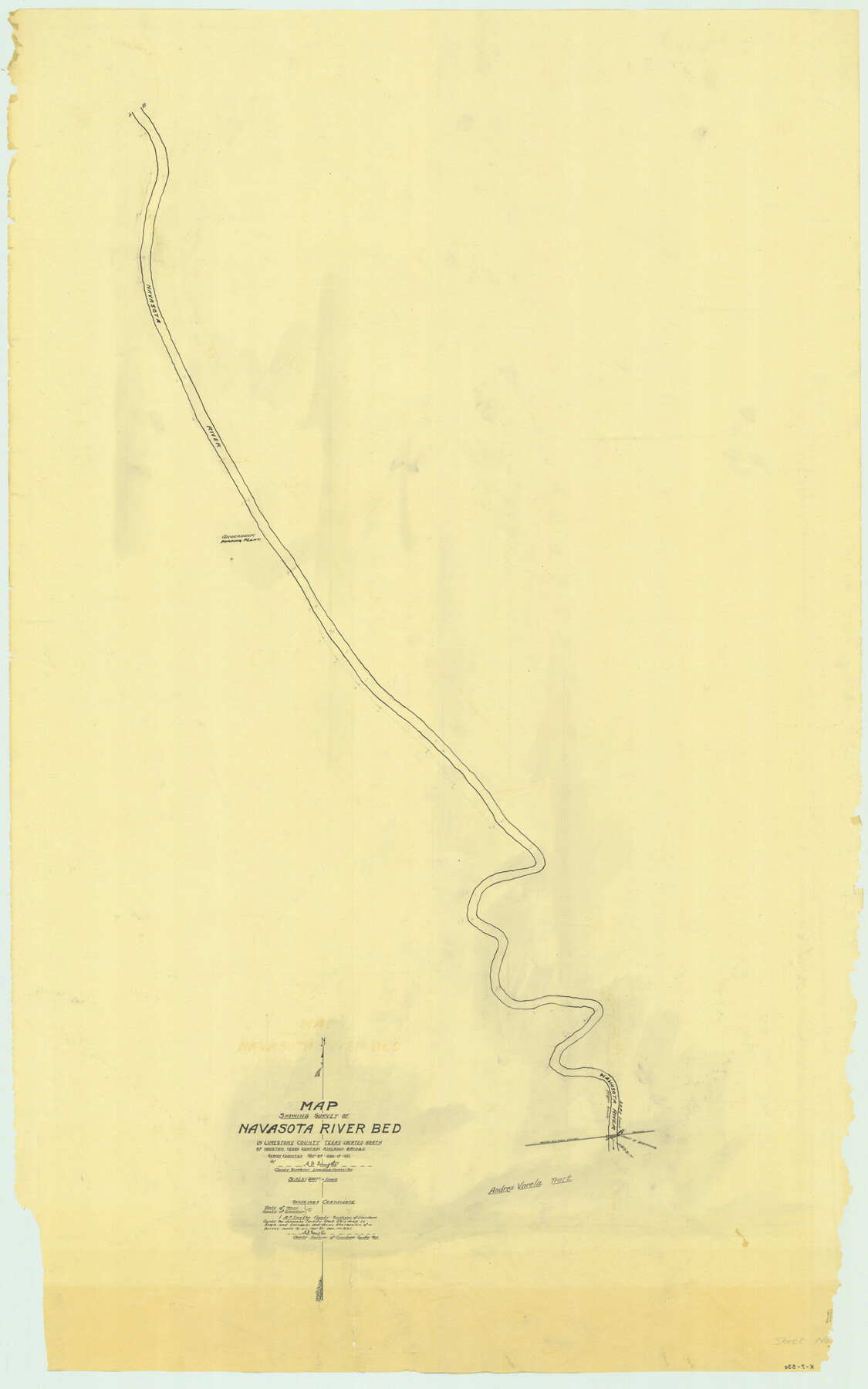
Map Showing Survey of Navasota River Bed in Limestone County Texas Located North of Houston and Texas Central Railroad Bridge
K-7-53a, K-7-53b
-
Map/Doc
65347
-
Collection
General Map Collection
-
Object Dates
1921/12/14 (Creation Date)
-
People and Organizations
A.P. Smythe (Surveyor/Engineer)
-
Counties
Limestone
-
Subjects
River Surveys Topographic
-
Height x Width
68.0 x 42.5 inches
172.7 x 108.0 cm
-
Comments
Survey executed November 24th to December 14th, 1921.
Part of: General Map Collection
Edwards County Working Sketch 104

Print $20.00
- Digital $50.00
Edwards County Working Sketch 104
1972
Size 14.2 x 25.5 inches
Map/Doc 68980
Ellis County Sketch File 1

Print $6.00
- Digital $50.00
Ellis County Sketch File 1
1849
Size 6.5 x 7.9 inches
Map/Doc 21824
Hutchinson County Working Sketch 1

Print $3.00
- Digital $50.00
Hutchinson County Working Sketch 1
Size 9.5 x 17.0 inches
Map/Doc 66359
Jones County Boundary File 1

Print $78.00
- Digital $50.00
Jones County Boundary File 1
1882
Size 10.7 x 8.2 inches
Map/Doc 55633
Mason County Rolled Sketch 3

Print $20.00
- Digital $50.00
Mason County Rolled Sketch 3
1965
Size 30.3 x 22.8 inches
Map/Doc 6676

Henderson County

Print $40.00
- Digital $50.00
Henderson County
1922
Size 32.9 x 62.6 inches
Map/Doc 66862

Motley County Sketch File B2 (N)

Print $8.00
- Digital $50.00
Motley County Sketch File B2 (N)
Size 8.6 x 6.1 inches
Map/Doc 31970
Travis County Rolled Sketch 13

Print $20.00
- Digital $50.00
Travis County Rolled Sketch 13
Size 28.0 x 20.4 inches
Map/Doc 8016
Flight Mission No. DCL-7C, Frame 120, Kenedy County

Print $20.00
- Digital $50.00
Flight Mission No. DCL-7C, Frame 120, Kenedy County
1943
Size 18.5 x 22.4 inches
Map/Doc 86085

You may also like
Haskell County Rolled Sketch 5

Print $20.00
- Digital $50.00
Haskell County Rolled Sketch 5
1858
Size 30.0 x 39.0 inches
Map/Doc 6165

Bell County Sketch File 5

Print $4.00
- Digital $50.00
Bell County Sketch File 5
1849
Size 12.9 x 8.5 inches
Map/Doc 14371
Parker County Sketch File 2

Print $4.00
- Digital $50.00
Parker County Sketch File 2
1856
Size 12.7 x 8.2 inches
Map/Doc 33519
Red River County Working Sketch 54

Print $20.00
- Digital $50.00
Red River County Working Sketch 54
1971
Size 19.3 x 31.1 inches
Map/Doc 72037
Coast Chart No. 210 Aransas Pass and Corpus Christi Bay with the coast to latitude 27° 12' Texas

Print $20.00
- Digital $50.00
Coast Chart No. 210 Aransas Pass and Corpus Christi Bay with the coast to latitude 27° 12' Texas
1887
Size 27.6 x 18.2 inches
Map/Doc 72789
Nautical Chart 887-SC Intracoastal Waterway - Galveston Bay to Cedar Lakes including the Brazos and San Bernard Rivers, Texas

Print $40.00
- Digital $50.00
Nautical Chart 887-SC Intracoastal Waterway - Galveston Bay to Cedar Lakes including the Brazos and San Bernard Rivers, Texas
1971
Size 15.3 x 59.6 inches
Map/Doc 69939
Duval County Boundary File 6

Print $18.00
- Digital $50.00
Duval County Boundary File 6
Size 5.0 x 7.3 inches
Map/Doc 52771
Stephens County Boundary File 5

Print $8.00
- Digital $50.00
Stephens County Boundary File 5
Size 7.6 x 6.4 inches
Map/Doc 58897
[Neches River Bed, Plat and Calculations]
![77101, [Neches River Bed, Plat and Calculations], General Map Collection](https://historictexasmaps.com/wmedia_w700/maps/77101.tif.jpg)
Print $20.00
- Digital $50.00
[Neches River Bed, Plat and Calculations]
1928
Size 23.2 x 19.8 inches
Map/Doc 77101
Brazoria County NRC Article 33.136 Sketch 2

Print $20.00
- Digital $50.00
Brazoria County NRC Article 33.136 Sketch 2
2002
Size 40.6 x 29.7 inches
Map/Doc 77038
Tom Green County

Print $20.00
- Digital $50.00
Tom Green County
1856
Size 23.3 x 27.7 inches
Map/Doc 4089