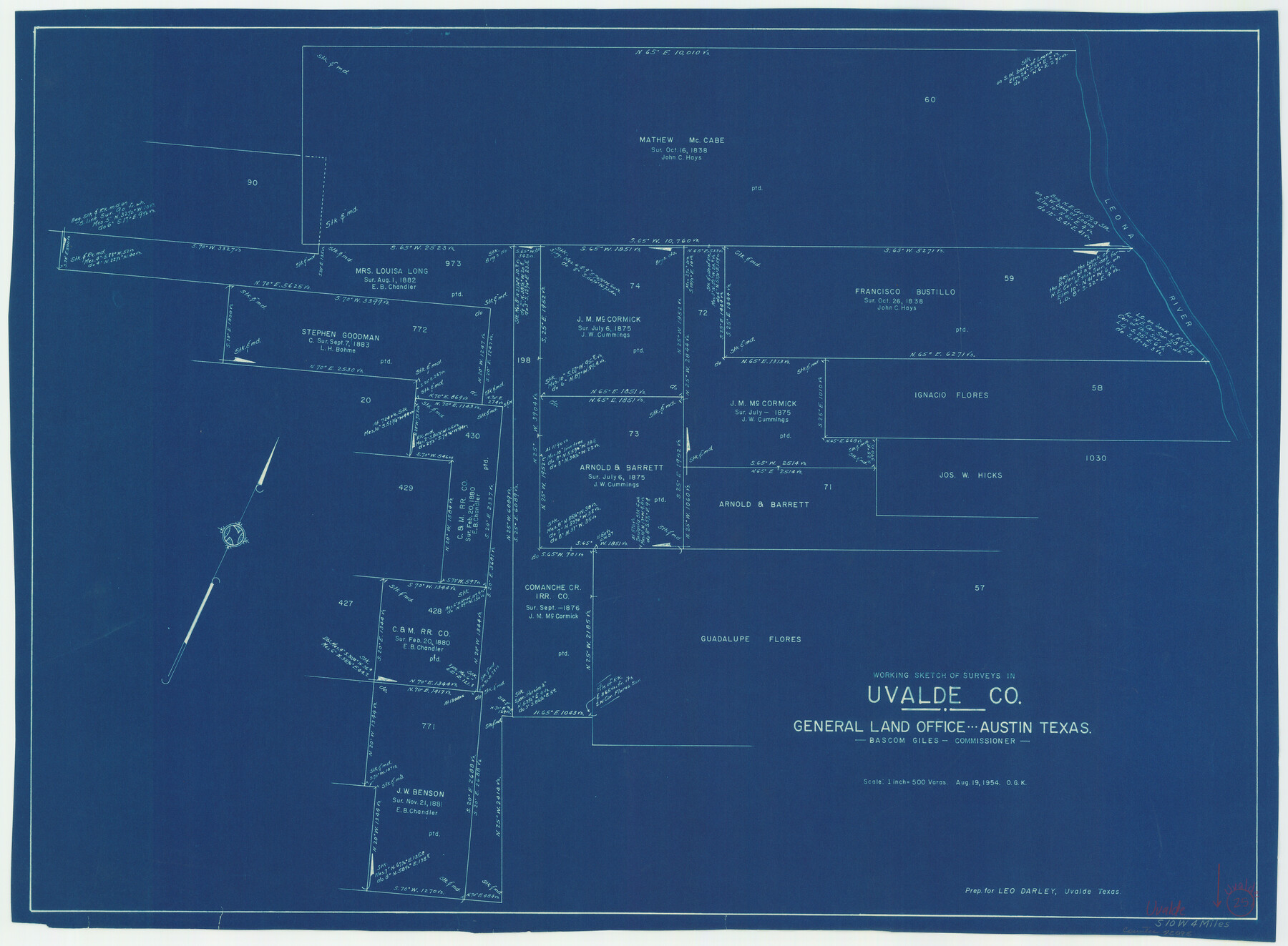
Uvalde County Working Sketch 25
-
Map/Doc
72095
-
Collection
General Map Collection
-
Object Dates
8/19/1954 (Creation Date)
-
People and Organizations
Otto G. Kurio (Draftsman)
-
Counties
Uvalde
-
Subjects
Surveying Working Sketch
-
Height x Width
24.5 x 33.3 inches
62.2 x 84.6 cm
-
Scale
1" = 500 varas
Part of: General Map Collection
Flight Mission No. DAG-17K, Frame 59, Matagorda County

Print $20.00
- Digital $50.00
Flight Mission No. DAG-17K, Frame 59, Matagorda County
1952
Size 18.6 x 22.5 inches
Map/Doc 86321
Township No. 2 South Range No. 22 West of the Indian Meridian

Print $20.00
- Digital $50.00
Township No. 2 South Range No. 22 West of the Indian Meridian
1875
Size 19.2 x 24.3 inches
Map/Doc 75176
Flight Mission No. CGI-1N, Frame 218, Cameron County

Print $20.00
- Digital $50.00
Flight Mission No. CGI-1N, Frame 218, Cameron County
1955
Size 18.6 x 22.1 inches
Map/Doc 84527
Terrell County Working Sketch 53

Print $20.00
- Digital $50.00
Terrell County Working Sketch 53
Size 13.5 x 17.8 inches
Map/Doc 69802
Fort Bend County Working Sketch 12

Print $40.00
- Digital $50.00
Fort Bend County Working Sketch 12
1940
Size 29.9 x 73.2 inches
Map/Doc 69219
Denton County Rolled Sketch 4

Print $20.00
- Digital $50.00
Denton County Rolled Sketch 4
1973
Size 22.7 x 39.3 inches
Map/Doc 5701
Gillespie County Sketch File 11

Print $4.00
- Digital $50.00
Gillespie County Sketch File 11
1877
Size 8.3 x 12.8 inches
Map/Doc 24149
Orange County Working Sketch 38

Print $20.00
- Digital $50.00
Orange County Working Sketch 38
1964
Size 25.4 x 27.7 inches
Map/Doc 71370
Gillespie County

Print $40.00
- Digital $50.00
Gillespie County
1945
Size 39.7 x 48.4 inches
Map/Doc 73157
Webb County Working Sketch 29

Print $20.00
- Digital $50.00
Webb County Working Sketch 29
1933
Size 14.6 x 20.8 inches
Map/Doc 72394
Palo Pinto County Rolled Sketch 13

Print $20.00
- Digital $50.00
Palo Pinto County Rolled Sketch 13
1986
Size 29.0 x 32.2 inches
Map/Doc 7193
Bee County Working Sketch Graphic Index

Print $20.00
- Digital $50.00
Bee County Working Sketch Graphic Index
1950
Size 41.6 x 45.4 inches
Map/Doc 76464
You may also like
Andrews County Rolled Sketch 46

Print $40.00
- Digital $50.00
Andrews County Rolled Sketch 46
2013
Size 52.0 x 36.0 inches
Map/Doc 93641
Coke County Sketch File 1

Print $8.00
- Digital $50.00
Coke County Sketch File 1
1858
Size 8.3 x 7.7 inches
Map/Doc 18562
Wilbarger Co.

Print $20.00
- Digital $50.00
Wilbarger Co.
1949
Size 47.8 x 38.8 inches
Map/Doc 73324
San Augustine County Working Sketch 22

Print $20.00
- Digital $50.00
San Augustine County Working Sketch 22
1974
Size 16.1 x 29.0 inches
Map/Doc 63710
Matagorda County NRC Article 33.136 Location Key Sheet

Print $20.00
- Digital $50.00
Matagorda County NRC Article 33.136 Location Key Sheet
1995
Size 27.0 x 23.0 inches
Map/Doc 87909
Map of Refugio County

Print $20.00
- Digital $50.00
Map of Refugio County
1885
Size 19.8 x 25.9 inches
Map/Doc 3986
Rio Grande, Hidalgo Sheet

Print $20.00
- Digital $50.00
Rio Grande, Hidalgo Sheet
1937
Size 36.8 x 36.8 inches
Map/Doc 65122
Kimble County Working Sketch 64

Print $20.00
- Digital $50.00
Kimble County Working Sketch 64
1964
Size 15.1 x 16.9 inches
Map/Doc 70132
Dumas, Moore County, Texas

Print $20.00
- Digital $50.00
Dumas, Moore County, Texas
1891
Size 13.4 x 15.7 inches
Map/Doc 92111
Upton County Working Sketch 5

Print $20.00
- Digital $50.00
Upton County Working Sketch 5
1909
Size 15.9 x 27.1 inches
Map/Doc 69501
Blocks 56 and 57, Townships 1 and 2, resurvey of Texas & Pacific Railway Lands in the eighty mile reservation

Print $20.00
- Digital $50.00
Blocks 56 and 57, Townships 1 and 2, resurvey of Texas & Pacific Railway Lands in the eighty mile reservation
1931
Size 41.4 x 31.4 inches
Map/Doc 2246
Presidio County Working Sketch 15

Print $20.00
- Digital $50.00
Presidio County Working Sketch 15
1942
Size 38.1 x 41.3 inches
Map/Doc 71691