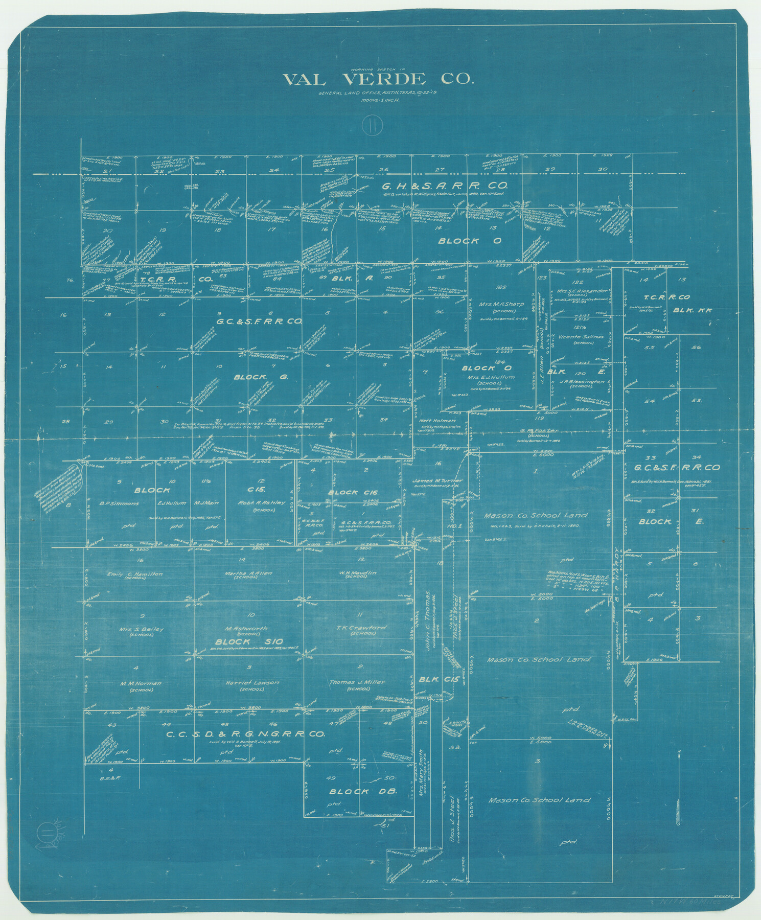
Val Verde County Working Sketch 11
-
Map/Doc
72146
-
Collection
General Map Collection
-
Object Dates
10/22/1919 (Creation Date)
-
People and Organizations
G.T. Wicker (Draftsman)
-
Counties
Val Verde
-
Subjects
Surveying Working Sketch
-
Height x Width
32.0 x 26.5 inches
81.3 x 67.3 cm
-
Scale
1" = 1000 varas
Part of: General Map Collection
Childress Co.

Print $20.00
- Digital $50.00
Childress Co.
1978
Size 47.3 x 36.0 inches
Map/Doc 95454
Presidio County Rolled Sketch 36

Print $20.00
- Digital $50.00
Presidio County Rolled Sketch 36
Size 20.7 x 21.8 inches
Map/Doc 7334
Rusk County Working Sketch 20a

Print $20.00
- Digital $50.00
Rusk County Working Sketch 20a
Size 17.8 x 21.3 inches
Map/Doc 63655
[St. L. S.-W. Ry. of Texas, Map of Lufkin Branch in Smith County, Texas]
![64693, [St. L. S.-W. Ry. of Texas, Map of Lufkin Branch in Smith County, Texas], General Map Collection](https://historictexasmaps.com/wmedia_w700/maps/64693.tif.jpg)
Print $40.00
- Digital $50.00
[St. L. S.-W. Ry. of Texas, Map of Lufkin Branch in Smith County, Texas]
1912
Size 24.2 x 121.2 inches
Map/Doc 64693
Robertson County Sketch File 6

Print $4.00
Robertson County Sketch File 6
1870
Size 8.9 x 7.6 inches
Map/Doc 35362
[Sketch for Mineral Application 26501 - Sabine River, T. A. Oldhausen]
![2832, [Sketch for Mineral Application 26501 - Sabine River, T. A. Oldhausen], General Map Collection](https://historictexasmaps.com/wmedia_w700/maps/2832.tif.jpg)
Print $20.00
- Digital $50.00
[Sketch for Mineral Application 26501 - Sabine River, T. A. Oldhausen]
1931
Size 24.0 x 36.0 inches
Map/Doc 2832
Harris County Working Sketch 13

Print $20.00
- Digital $50.00
Harris County Working Sketch 13
1915
Size 19.9 x 11.0 inches
Map/Doc 65905
Erath County Working Sketch 6

Print $20.00
- Digital $50.00
Erath County Working Sketch 6
1920
Size 40.9 x 33.1 inches
Map/Doc 69087
Map of Asylum Lands

Print $20.00
- Digital $50.00
Map of Asylum Lands
1857
Size 28.4 x 18.5 inches
Map/Doc 2459
Flight Mission No. DAG-28K, Frame 30, Matagorda County

Print $20.00
- Digital $50.00
Flight Mission No. DAG-28K, Frame 30, Matagorda County
1953
Size 16.1 x 16.1 inches
Map/Doc 86598
Brewster County Working Sketch 26

Print $20.00
- Digital $50.00
Brewster County Working Sketch 26
1940
Size 20.7 x 32.1 inches
Map/Doc 67560
Chocolate Bayou, Texas showing proposed connection from its mouth to West Galveston Bay for a Light Draft Navigation

Print $20.00
- Digital $50.00
Chocolate Bayou, Texas showing proposed connection from its mouth to West Galveston Bay for a Light Draft Navigation
Size 13.2 x 20.4 inches
Map/Doc 96557
You may also like
Tarrant County Working Sketch 15

Print $20.00
- Digital $50.00
Tarrant County Working Sketch 15
1989
Size 33.0 x 38.3 inches
Map/Doc 62432
Clay County Boundary File 14

Print $80.00
- Digital $50.00
Clay County Boundary File 14
Size 63.1 x 15.4 inches
Map/Doc 51416
Erath County Rolled Sketch 1

Print $40.00
- Digital $50.00
Erath County Rolled Sketch 1
1962
Size 37.6 x 69.0 inches
Map/Doc 8882
Atascosa County Working Sketch 6

Print $20.00
- Digital $50.00
Atascosa County Working Sketch 6
1913
Size 16.2 x 11.7 inches
Map/Doc 67202
Morris County Rolled Sketch 2A

Print $20.00
- Digital $50.00
Morris County Rolled Sketch 2A
Size 24.0 x 18.7 inches
Map/Doc 10256
Crane County Working Sketch 9

Print $20.00
- Digital $50.00
Crane County Working Sketch 9
1937
Size 47.6 x 42.8 inches
Map/Doc 68286
J. C. Davis Southeast Quarter, Section 3, Block E

Print $20.00
- Digital $50.00
J. C. Davis Southeast Quarter, Section 3, Block E
Size 30.3 x 29.8 inches
Map/Doc 92740
Tyler County Sketch File 1b

Print $8.00
- Digital $50.00
Tyler County Sketch File 1b
1900
Size 7.5 x 3.2 inches
Map/Doc 38611
Atascosa County Sketch File 3

Print $14.00
- Digital $50.00
Atascosa County Sketch File 3
1854
Size 9.1 x 8.6 inches
Map/Doc 13730
South Part of El Paso Co.

Print $20.00
- Digital $50.00
South Part of El Paso Co.
1977
Size 36.5 x 47.8 inches
Map/Doc 95491

'O Bar O' Ranch

Print $40.00
- Digital $50.00
'O Bar O' Ranch
1946
Size 46.2 x 80.7 inches
Map/Doc 93209