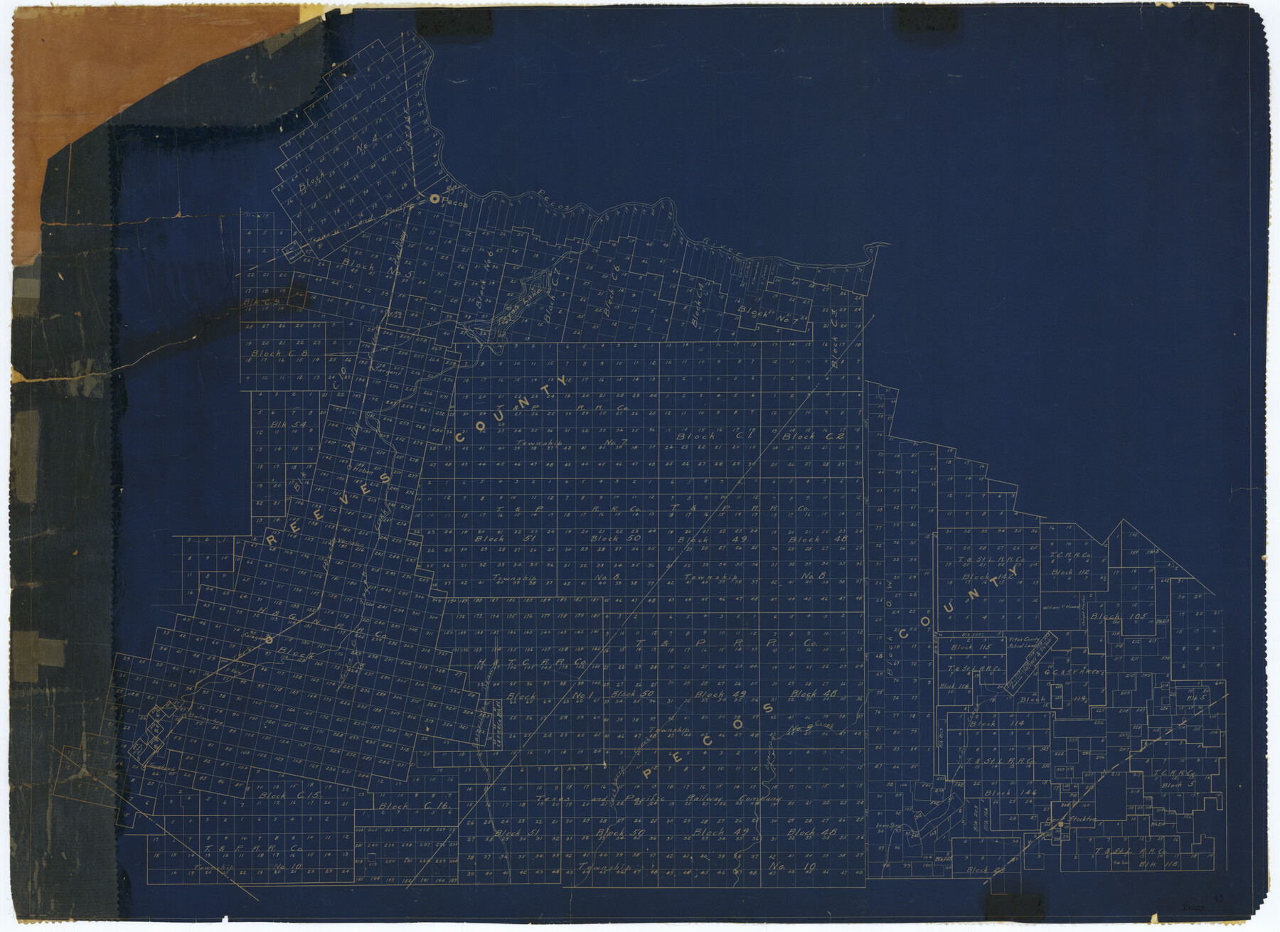
Pecos County Rolled Sketch 43
[Sketch in Pecos & Reeves Counties]
-
Map/Doc
7221
-
Collection
General Map Collection
-
Object Dates
1912/7/18 (Creation Date)
-
Counties
Pecos Reeves
-
Subjects
Surveying Rolled Sketch
-
Height x Width
25.4 x 34.8 inches
64.5 x 88.4 cm
-
Medium
blueprint/diazo
Part of: General Map Collection

Tyler County Sketch File 14

Print $4.00
- Digital $50.00
Tyler County Sketch File 14
1857
Size 8.3 x 10.1 inches
Map/Doc 38656
[Map of Nueces Bay Showing Old Leases]
![2924, [Map of Nueces Bay Showing Old Leases], General Map Collection](https://historictexasmaps.com/wmedia_w700/maps/2924-1.tif.jpg)
Print $20.00
- Digital $50.00
[Map of Nueces Bay Showing Old Leases]
1936
Size 18.0 x 22.9 inches
Map/Doc 2924
El Paso County Working Sketch 43

Print $20.00
- Digital $50.00
El Paso County Working Sketch 43
Size 22.1 x 26.1 inches
Map/Doc 69065
El Paso County Sketch File 34

Print $82.00
- Digital $50.00
El Paso County Sketch File 34
1984
Size 14.3 x 8.9 inches
Map/Doc 22129

Montgomery County Rolled Sketch 33

Print $40.00
- Digital $50.00
Montgomery County Rolled Sketch 33
1953
Size 48.1 x 39.6 inches
Map/Doc 9541
Lamar County State Real Property Sketch 1

Print $20.00
- Digital $50.00
Lamar County State Real Property Sketch 1
2013
Size 24.0 x 36.0 inches
Map/Doc 93659
United States - Gulf Coast - Padre I. and Laguna Madre Lat. 27° 12' to Lat. 26° 33' Texas

Print $20.00
- Digital $50.00
United States - Gulf Coast - Padre I. and Laguna Madre Lat. 27° 12' to Lat. 26° 33' Texas
1913
Size 26.8 x 18.4 inches
Map/Doc 72817
Culberson County Rolled Sketch 46

Print $40.00
- Digital $50.00
Culberson County Rolled Sketch 46
1953
Size 53.1 x 43.1 inches
Map/Doc 8754
Bastrop County Sketch File 8

Print $4.00
- Digital $50.00
Bastrop County Sketch File 8
Size 8.5 x 11.5 inches
Map/Doc 14054
Parker County Sketch File 39

Print $4.00
- Digital $50.00
Parker County Sketch File 39
Size 8.0 x 12.7 inches
Map/Doc 33583
You may also like
[Sketch for Mineral Application 19560 - 19588 - San Bernard River]
![65660, [Sketch for Mineral Application 19560 - 19588 - San Bernard River], General Map Collection](https://historictexasmaps.com/wmedia_w700/maps/65660.tif.jpg)
Print $40.00
- Digital $50.00
[Sketch for Mineral Application 19560 - 19588 - San Bernard River]
Size 98.0 x 33.0 inches
Map/Doc 65660
Fort Bend County Working Sketch 29

Print $20.00
- Digital $50.00
Fort Bend County Working Sketch 29
1983
Size 21.6 x 19.2 inches
Map/Doc 69235
Panola County Working Sketch 12

Print $20.00
- Digital $50.00
Panola County Working Sketch 12
1945
Map/Doc 71421
Outer Continental Shelf Leasing Maps (Texas Offshore Operations)

Print $20.00
- Digital $50.00
Outer Continental Shelf Leasing Maps (Texas Offshore Operations)
Size 17.6 x 13.6 inches
Map/Doc 75850
Jeff Davis County Working Sketch 12

Print $20.00
- Digital $50.00
Jeff Davis County Working Sketch 12
1948
Size 21.5 x 29.0 inches
Map/Doc 66507
Mason County Rolled Sketch 1

Print $20.00
- Digital $50.00
Mason County Rolled Sketch 1
1940
Size 21.2 x 24.9 inches
Map/Doc 6674
Flight Mission No. DIX-10P, Frame 183, Aransas County

Print $20.00
- Digital $50.00
Flight Mission No. DIX-10P, Frame 183, Aransas County
1956
Size 18.4 x 22.1 inches
Map/Doc 83973
Calcasieu Pass to Sabine Pass

Print $20.00
- Digital $50.00
Calcasieu Pass to Sabine Pass
1976
Size 44.6 x 35.3 inches
Map/Doc 69813
Ector County Rolled Sketch 12

Print $38.00
- Digital $50.00
Ector County Rolled Sketch 12
Size 10.1 x 15.4 inches
Map/Doc 44314
General Highway Map, Moore County, Texas

Print $20.00
General Highway Map, Moore County, Texas
1940
Size 18.4 x 24.8 inches
Map/Doc 79203
Map of Brazoria Co.

Print $20.00
- Digital $50.00
Map of Brazoria Co.
1879
Size 26.5 x 26.2 inches
Map/Doc 544
Morris County Rolled Sketch 2A

Print $20.00
- Digital $50.00
Morris County Rolled Sketch 2A
Size 24.3 x 19.2 inches
Map/Doc 10264