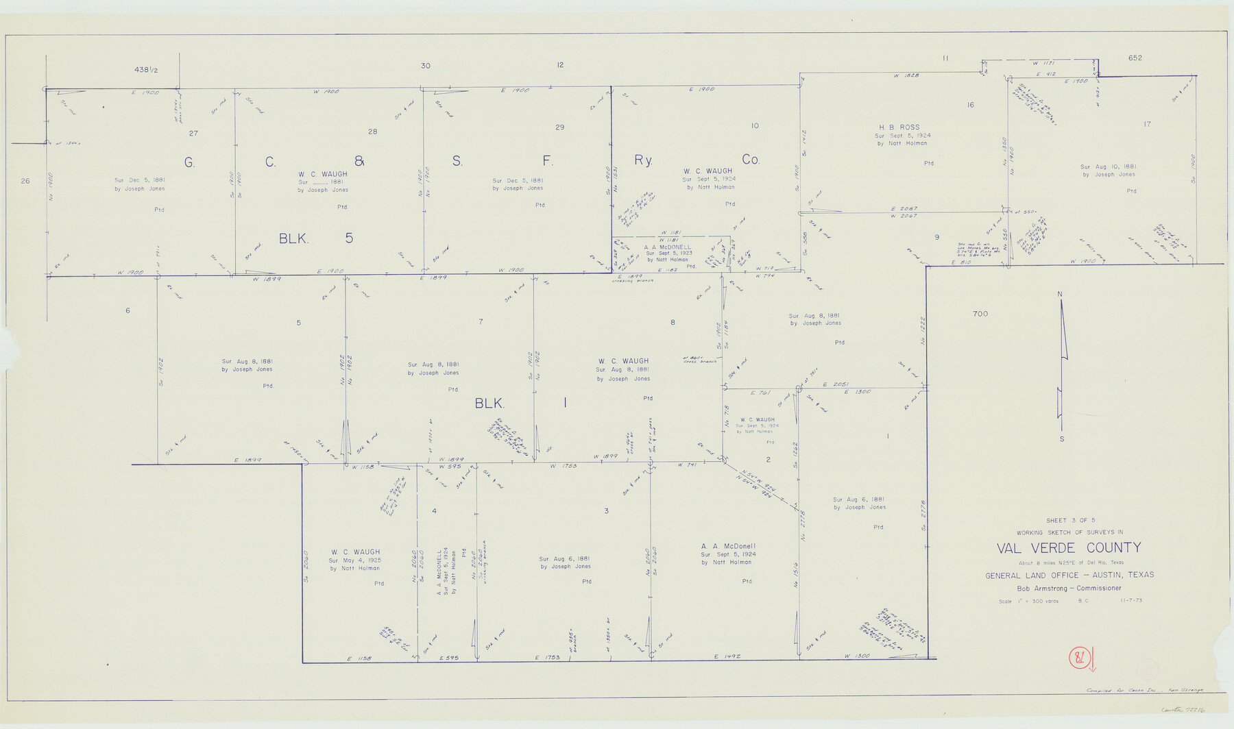
Val Verde County Working Sketch 81
-
Map/Doc
72216
-
Collection
General Map Collection
-
Object Dates
11/7/1973 (Creation Date)
-
People and Organizations
Beverly Christian (Draftsman)
-
Counties
Val Verde
-
Subjects
Surveying Working Sketch
-
Height x Width
24.6 x 41.7 inches
62.5 x 105.9 cm
-
Scale
1" = 300 varas
Part of: General Map Collection
Marion County Working Sketch 43

Print $20.00
- Digital $50.00
Marion County Working Sketch 43
2002
Size 28.6 x 29.0 inches
Map/Doc 78214

Hardeman County Boundary File 38

Print $70.00
- Digital $50.00
Hardeman County Boundary File 38
Size 12.9 x 8.2 inches
Map/Doc 54400
Flight Mission No. DQN-5K, Frame 148, Calhoun County

Print $20.00
- Digital $50.00
Flight Mission No. DQN-5K, Frame 148, Calhoun County
1953
Size 18.6 x 21.9 inches
Map/Doc 84423
Galveston County NRC Article 33.136 Sketch 6

Print $20.00
- Digital $50.00
Galveston County NRC Article 33.136 Sketch 6
2001
Size 23.1 x 33.9 inches
Map/Doc 61588
Lee County Rolled Sketch 3

Print $20.00
- Digital $50.00
Lee County Rolled Sketch 3
2010
Size 25.5 x 36.0 inches
Map/Doc 89288
Lampasas County Rolled Sketch 6

Print $20.00
- Digital $50.00
Lampasas County Rolled Sketch 6
2014
Size 29.1 x 21.9 inches
Map/Doc 93775
Flight Mission No. DQN-2K, Frame 34, Calhoun County

Print $20.00
- Digital $50.00
Flight Mission No. DQN-2K, Frame 34, Calhoun County
1953
Size 18.5 x 22.2 inches
Map/Doc 84241
Williamson County Rolled Sketch 6

Print $20.00
- Digital $50.00
Williamson County Rolled Sketch 6
1941
Size 26.0 x 18.9 inches
Map/Doc 8264
Reagan County Rolled Sketch 39

Print $20.00
- Digital $50.00
Reagan County Rolled Sketch 39
1966
Size 25.7 x 25.1 inches
Map/Doc 7450
Flight Mission No. BRA-7M, Frame 129, Jefferson County

Print $20.00
- Digital $50.00
Flight Mission No. BRA-7M, Frame 129, Jefferson County
1953
Size 16.3 x 16.0 inches
Map/Doc 85523
[Map of the Fort Worth & Denver City Railway]
![64432, [Map of the Fort Worth & Denver City Railway], General Map Collection](https://historictexasmaps.com/wmedia_w700/maps/64432.tif.jpg)
Print $40.00
- Digital $50.00
[Map of the Fort Worth & Denver City Railway]
1887
Size 21.3 x 122.7 inches
Map/Doc 64432
You may also like
Garza County Sketch File E1

Print $8.00
- Digital $50.00
Garza County Sketch File E1
1901
Size 11.2 x 8.8 inches
Map/Doc 24022
Real County Rolled Sketch 18

Print $20.00
- Digital $50.00
Real County Rolled Sketch 18
Size 21.2 x 27.7 inches
Map/Doc 7465
Map of Cherokee County

Print $20.00
- Digital $50.00
Map of Cherokee County
1851
Size 24.6 x 18.3 inches
Map/Doc 3386
Kimble County Sketch File 5

Print $4.00
- Digital $50.00
Kimble County Sketch File 5
1858
Size 7.9 x 5.5 inches
Map/Doc 28916
From Citizens of Austin County Requesting to be Attached to Washington County, Undated

Print $20.00
From Citizens of Austin County Requesting to be Attached to Washington County, Undated
2020
Size 18.8 x 21.7 inches
Map/Doc 96398
General Highway Map, Matagorda County, Texas

Print $20.00
General Highway Map, Matagorda County, Texas
1939
Size 24.6 x 18.4 inches
Map/Doc 79188
Childress County Rolled Sketch 9A

Print $20.00
- Digital $50.00
Childress County Rolled Sketch 9A
Size 17.0 x 17.1 inches
Map/Doc 5447
Butt's Map of Cooke County, Texas

Print $20.00
Butt's Map of Cooke County, Texas
1888
Size 17.5 x 14.5 inches
Map/Doc 88920
Clay County Sketch File 28

Print $20.00
- Digital $50.00
Clay County Sketch File 28
Size 25.3 x 31.2 inches
Map/Doc 11090
Upton County Working Sketch 50

Print $20.00
- Digital $50.00
Upton County Working Sketch 50
1980
Size 19.5 x 21.4 inches
Map/Doc 69547
Flight Mission No. DIX-6P, Frame 123, Aransas County

Print $20.00
- Digital $50.00
Flight Mission No. DIX-6P, Frame 123, Aransas County
1956
Size 19.1 x 22.7 inches
Map/Doc 83829
Gillespie County Sketch File 3

Print $4.00
- Digital $50.00
Gillespie County Sketch File 3
1847
Size 11.2 x 8.0 inches
Map/Doc 24129