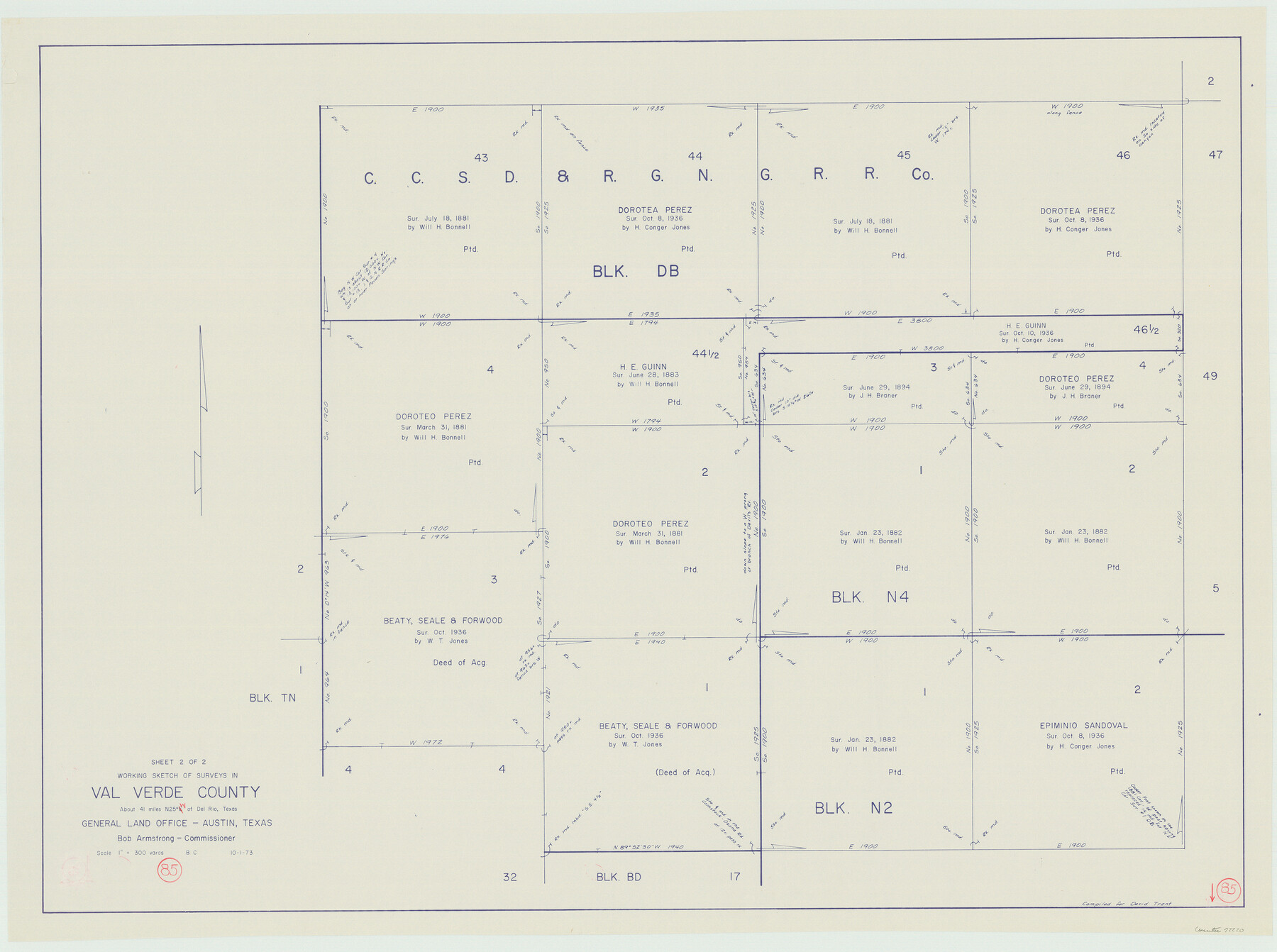
Val Verde County Working Sketch 85
-
Map/Doc
72220
-
Collection
General Map Collection
-
Object Dates
10/1/1973 (Creation Date)
-
People and Organizations
Beverly Christian (Draftsman)
-
Counties
Val Verde
-
Subjects
Surveying Working Sketch
-
Height x Width
28.5 x 38.3 inches
72.4 x 97.3 cm
-
Scale
1" = 300 varas
Part of: General Map Collection

Stonewall County Working Sketch 28

Print $20.00
- Digital $50.00
Stonewall County Working Sketch 28
1976
Size 34.5 x 39.2 inches
Map/Doc 62335
Runnels County Working Sketch 15

Print $20.00
- Digital $50.00
Runnels County Working Sketch 15
1950
Size 22.8 x 18.5 inches
Map/Doc 63611
Hemphill County Sketch File 1

Print $40.00
- Digital $50.00
Hemphill County Sketch File 1
Size 17.1 x 13.9 inches
Map/Doc 26279
La Salle County Rolled Sketch 5

Print $20.00
- Digital $50.00
La Salle County Rolled Sketch 5
1937
Size 17.8 x 27.4 inches
Map/Doc 6570
Current Miscellaneous File 38

Print $8.00
- Digital $50.00
Current Miscellaneous File 38
Size 8.6 x 13.0 inches
Map/Doc 73958
Grayson County Boundary File 5

Print $4.00
- Digital $50.00
Grayson County Boundary File 5
Size 11.2 x 8.7 inches
Map/Doc 53959
Flight Mission No. CRE-1R, Frame 64, Jackson County

Print $20.00
- Digital $50.00
Flight Mission No. CRE-1R, Frame 64, Jackson County
1956
Size 15.9 x 15.9 inches
Map/Doc 85327
Flight Mission No. DQN-2K, Frame 93, Calhoun County

Print $20.00
- Digital $50.00
Flight Mission No. DQN-2K, Frame 93, Calhoun County
1953
Size 16.5 x 16.2 inches
Map/Doc 84283
Eastland County Working Sketch 8

Print $20.00
- Digital $50.00
Eastland County Working Sketch 8
1919
Size 13.5 x 11.1 inches
Map/Doc 68789
Red River County

Print $40.00
- Digital $50.00
Red River County
1934
Size 52.0 x 41.3 inches
Map/Doc 66995
Galveston County Sketch File 73

Print $78.00
- Digital $50.00
Galveston County Sketch File 73
1998
Size 11.3 x 8.8 inches
Map/Doc 23980
You may also like
Tom Green County Sketch File 69

Print $40.00
- Digital $50.00
Tom Green County Sketch File 69
1945
Size 16.5 x 12.4 inches
Map/Doc 38239
DeWitt County Sketch File 13

Print $8.00
- Digital $50.00
DeWitt County Sketch File 13
1845
Size 12.8 x 8.2 inches
Map/Doc 20824
Jacob Kuechler's Field Notes (Field Book), Texas & Pacific Ry. Co. 80 Mile Reserve

Print $222.00
- Digital $50.00
Jacob Kuechler's Field Notes (Field Book), Texas & Pacific Ry. Co. 80 Mile Reserve
1879
Size 7.9 x 5.4 inches
Map/Doc 3050
Shelby County Sketch File 5

Print $22.00
- Digital $50.00
Shelby County Sketch File 5
Size 8.4 x 12.1 inches
Map/Doc 36599
San Patricio County Rolled Sketch 33

Print $141.00
- Digital $50.00
San Patricio County Rolled Sketch 33
Size 10.2 x 15.0 inches
Map/Doc 48874
Harris County NRC Article 33.136 Sketch 7

Print $20.00
- Digital $50.00
Harris County NRC Article 33.136 Sketch 7
2004
Size 24.3 x 18.5 inches
Map/Doc 82991
Tyler County Sketch File 18

Print $4.00
- Digital $50.00
Tyler County Sketch File 18
1879
Size 8.2 x 8.7 inches
Map/Doc 38668
Wilbarger County Working Sketch 8

Print $20.00
- Digital $50.00
Wilbarger County Working Sketch 8
1948
Size 31.8 x 38.2 inches
Map/Doc 72546
Cass County Working Sketch 18

Print $20.00
- Digital $50.00
Cass County Working Sketch 18
1958
Size 24.2 x 44.3 inches
Map/Doc 67921
Jasper County Sketch File 31

Print $20.00
- Digital $50.00
Jasper County Sketch File 31
Size 21.6 x 24.7 inches
Map/Doc 11852
Flight Mission No. DCL-7C, Frame 134, Kenedy County

Print $20.00
- Digital $50.00
Flight Mission No. DCL-7C, Frame 134, Kenedy County
1943
Size 18.5 x 22.3 inches
Map/Doc 86091
[F. W. & D. C. Ry. Co. Alignment and Right of Way Map, Clay County]
![64734, [F. W. & D. C. Ry. Co. Alignment and Right of Way Map, Clay County], General Map Collection](https://historictexasmaps.com/wmedia_w700/maps/64734-GC.tif.jpg)
Print $20.00
- Digital $50.00
[F. W. & D. C. Ry. Co. Alignment and Right of Way Map, Clay County]
1927
Size 18.6 x 11.8 inches
Map/Doc 64734