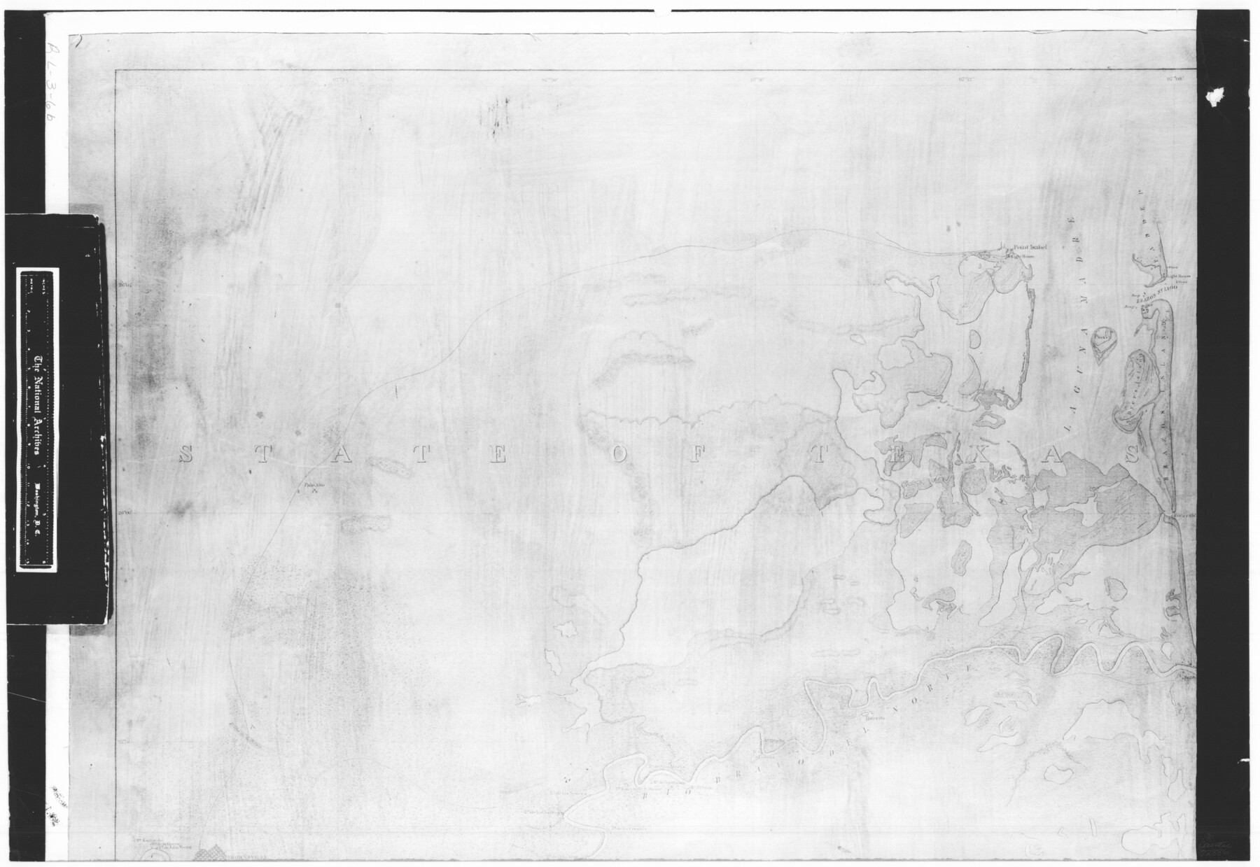
Boundary Between the United States & Mexico Agreed upon by the Joint Commission under the Treaty of Guadalupe Hidalgo
RL-3-6b
-
Map/Doc
72886
-
Collection
General Map Collection
-
Object Dates
1853 (Creation Date)
-
People and Organizations
Francis Herbst (Draftsman)
Corps of Topographical Engineers (Author)
Arthur Schott (Surveyor/Engineer)
Charles Radziminski (Surveyor/Engineer)
-
Subjects
Texas Boundaries
-
Height x Width
18.3 x 26.5 inches
46.5 x 67.3 cm
-
Comments
B/W photostat copy from National Archives in multiple pieces.
Part of: General Map Collection
El Paso County Boundary File 21

Print $6.00
- Digital $50.00
El Paso County Boundary File 21
Size 15.1 x 9.5 inches
Map/Doc 53214
Abandoned and Canceled Surveys - Volume 1 of 3, Counties A-D

Abandoned and Canceled Surveys - Volume 1 of 3, Counties A-D
Map/Doc 83248
North Sulphur River, Mt. Joy Sheet

Print $20.00
- Digital $50.00
North Sulphur River, Mt. Joy Sheet
1926
Size 33.7 x 40.9 inches
Map/Doc 65166
Sutton County Sketch File 37

Print $20.00
- Digital $50.00
Sutton County Sketch File 37
Size 19.7 x 19.7 inches
Map/Doc 12387
Harris County Sketch File 83

Print $20.00
- Digital $50.00
Harris County Sketch File 83
1898
Size 18.5 x 27.3 inches
Map/Doc 11671

San Antonio Business District

Print $20.00
- Digital $50.00
San Antonio Business District
1935
Size 17.4 x 14.8 inches
Map/Doc 95955
Flight Mission No. DQN-1K, Frame 104, Calhoun County

Print $20.00
- Digital $50.00
Flight Mission No. DQN-1K, Frame 104, Calhoun County
1953
Size 18.4 x 22.1 inches
Map/Doc 84171
Duval County Working Sketch 7

Print $20.00
- Digital $50.00
Duval County Working Sketch 7
1935
Size 24.4 x 25.0 inches
Map/Doc 68720
Ward County Working Sketch 54

Print $40.00
- Digital $50.00
Ward County Working Sketch 54
1978
Size 24.1 x 48.8 inches
Map/Doc 72360
Kinney County Sketch File 28

Print $8.00
- Digital $50.00
Kinney County Sketch File 28
1929
Size 11.3 x 9.0 inches
Map/Doc 29167
Wilbarger County Sketch File 2

Print $4.00
- Digital $50.00
Wilbarger County Sketch File 2
1862
Size 8.9 x 7.9 inches
Map/Doc 40164
You may also like
Travis County Boundary File 5

Print $62.00
- Digital $50.00
Travis County Boundary File 5
Size 9.1 x 4.4 inches
Map/Doc 59430
[Surveys in Burleson County]
![78355, [Surveys in Burleson County], General Map Collection](https://historictexasmaps.com/wmedia_w700/maps/78355.tif.jpg)
Print $20.00
- Digital $50.00
[Surveys in Burleson County]
Size 19.6 x 28.3 inches
Map/Doc 78355
Galveston County Sketch File 5

Print $4.00
- Digital $50.00
Galveston County Sketch File 5
1848
Size 8.6 x 9.0 inches
Map/Doc 23358
Wharton County Working Sketch 13

Print $20.00
- Digital $50.00
Wharton County Working Sketch 13
1968
Size 38.5 x 36.3 inches
Map/Doc 72477

Baylor County Sketch File A8

Print $4.00
- Digital $50.00
Baylor County Sketch File A8
1899
Size 14.1 x 8.7 inches
Map/Doc 14094
Copy of Map from General Land Office

Print $20.00
- Digital $50.00
Copy of Map from General Land Office
1880
Size 16.6 x 17.2 inches
Map/Doc 93361
Die gantze Welt in ein Kleberblat, welches in der Stadt Hannover, meines lieben Vaterlandes Wapen

Print $20.00
- Digital $50.00
Die gantze Welt in ein Kleberblat, welches in der Stadt Hannover, meines lieben Vaterlandes Wapen
1581
Size 11.9 x 15.2 inches
Map/Doc 97240
From Citizens of Washington County Living East of the Brazos River and in the Forks of the Navasota and Brazos Rivers and South of the Old San Antonio Road for the Creation of a New County (Unnamed), January 13, 1840

Print $20.00
From Citizens of Washington County Living East of the Brazos River and in the Forks of the Navasota and Brazos Rivers and South of the Old San Antonio Road for the Creation of a New County (Unnamed), January 13, 1840
2020
Size 20.4 x 21.7 inches
Map/Doc 96388
Maps of Gulf Intracoastal Waterway, Texas - Sabine River to the Rio Grande and connecting waterways including ship channels

Print $20.00
- Digital $50.00
Maps of Gulf Intracoastal Waterway, Texas - Sabine River to the Rio Grande and connecting waterways including ship channels
1966
Size 14.5 x 22.2 inches
Map/Doc 61963
Gillespie County Sketch File 3a

Print $4.00
- Digital $50.00
Gillespie County Sketch File 3a
1860
Size 7.6 x 8.3 inches
Map/Doc 24131
