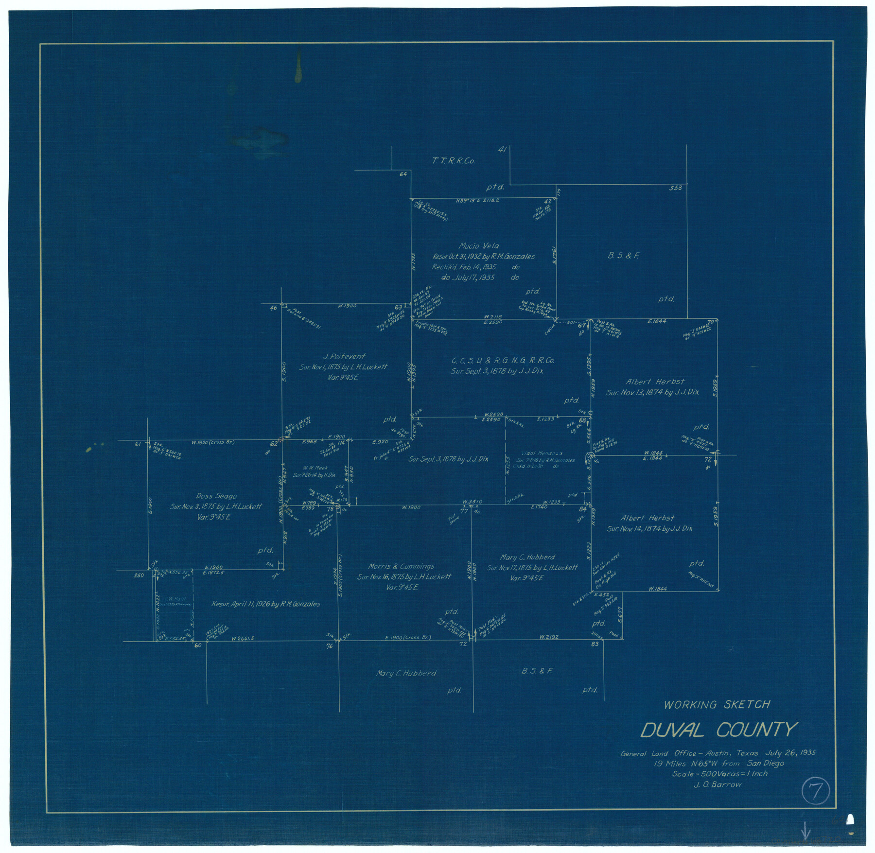
Duval County Working Sketch 7
-
Map/Doc
68720
-
Collection
General Map Collection
-
Object Dates
7/26/1935 (Creation Date)
-
People and Organizations
J.O. Barrow (Draftsman)
-
Counties
Duval
-
Subjects
Surveying Working Sketch
-
Height x Width
24.4 x 25.0 inches
62.0 x 63.5 cm
-
Scale
1" = 500 varas
Part of: General Map Collection
Randall County Rolled Sketch 2

Print $20.00
- Digital $50.00
Randall County Rolled Sketch 2
1941
Size 31.9 x 23.9 inches
Map/Doc 7422
Current Miscellaneous File 70

Print $10.00
- Digital $50.00
Current Miscellaneous File 70
Size 14.2 x 8.9 inches
Map/Doc 74150
Instruccion Publica

Print $20.00
- Digital $50.00
Instruccion Publica
Size 26.0 x 34.2 inches
Map/Doc 96801
Jefferson County Sketch File 17

Print $4.00
- Digital $50.00
Jefferson County Sketch File 17
Size 7.9 x 8.1 inches
Map/Doc 28165
Wharton County Sketch File 9

Print $4.00
- Digital $50.00
Wharton County Sketch File 9
1884
Size 9.1 x 11.7 inches
Map/Doc 39929
Sutton County Sketch File 57

Print $24.00
- Digital $50.00
Sutton County Sketch File 57
1961
Size 11.2 x 8.8 inches
Map/Doc 37542
La Salle County Rolled Sketch 23

Print $40.00
- Digital $50.00
La Salle County Rolled Sketch 23
1956
Size 34.5 x 48.0 inches
Map/Doc 9559
Reeves County Working Sketch 20

Print $40.00
- Digital $50.00
Reeves County Working Sketch 20
1964
Size 37.6 x 50.4 inches
Map/Doc 63463
Liberty County Sketch File 5b

Print $6.00
- Digital $50.00
Liberty County Sketch File 5b
1857
Size 8.0 x 3.5 inches
Map/Doc 29890
La Salle County Boundary File 2

Print $2.00
- Digital $50.00
La Salle County Boundary File 2
Size 11.1 x 8.6 inches
Map/Doc 56241
Kent County Working Sketch 10

Print $20.00
- Digital $50.00
Kent County Working Sketch 10
Size 34.1 x 43.0 inches
Map/Doc 70017
Webb County Rolled Sketch 67

Print $20.00
- Digital $50.00
Webb County Rolled Sketch 67
1927
Size 31.4 x 32.0 inches
Map/Doc 10130
You may also like

Throckmorton County Working Sketch 6

Print $20.00
- Digital $50.00
Throckmorton County Working Sketch 6
1952
Size 24.7 x 21.7 inches
Map/Doc 62115
Nueces County Rolled Sketch 64

Print $55.00
Nueces County Rolled Sketch 64
1979
Size 25.3 x 38.0 inches
Map/Doc 6911
Duval County Boundary File 3g

Print $4.00
- Digital $50.00
Duval County Boundary File 3g
Size 9.9 x 7.8 inches
Map/Doc 52747
General Highway Map, Kleberg County, Texas

Print $20.00
General Highway Map, Kleberg County, Texas
1961
Size 24.6 x 18.3 inches
Map/Doc 79559
Pecos County Rolled Sketch 190

Print $20.00
- Digital $50.00
Pecos County Rolled Sketch 190
2005
Size 20.3 x 26.1 inches
Map/Doc 83284
New Commercial Map of Texas

Print $20.00
New Commercial Map of Texas
1900
Size 28.1 x 34.0 inches
Map/Doc 76199
General Highway Map, Jim Wells County, Texas

Print $20.00
General Highway Map, Jim Wells County, Texas
1940
Size 18.4 x 24.8 inches
Map/Doc 79147
Houston County Rolled Sketch 7

Print $40.00
- Digital $50.00
Houston County Rolled Sketch 7
Size 43.2 x 50.1 inches
Map/Doc 9183
Flight Mission No. DCL-7C, Frame 6, Kenedy County

Print $20.00
- Digital $50.00
Flight Mission No. DCL-7C, Frame 6, Kenedy County
1943
Size 15.5 x 15.4 inches
Map/Doc 85998
Frio County Working Sketch 22

Print $20.00
- Digital $50.00
Frio County Working Sketch 22
1990
Size 24.9 x 33.9 inches
Map/Doc 69296
Harrison County Working Sketch 5

Print $20.00
- Digital $50.00
Harrison County Working Sketch 5
1953
Size 39.7 x 39.8 inches
Map/Doc 66025