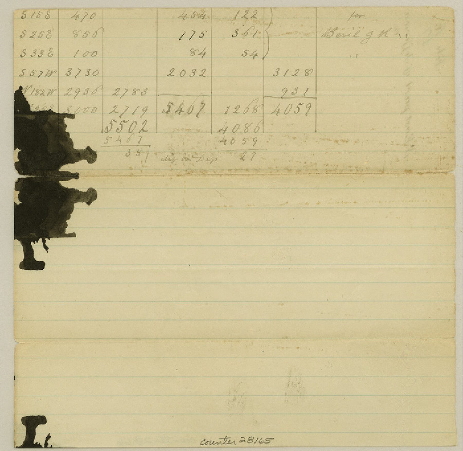
Jefferson County Sketch File 17
[Partial meander calls]
-
Map/Doc
28165
-
Collection
General Map Collection
-
Counties
Jefferson
-
Subjects
Surveying Sketch File
-
Height x Width
7.9 x 8.1 inches
20.1 x 20.6 cm
-
Medium
paper, manuscript
Part of: General Map Collection
Flight Mission No. DAG-18K, Frame 183, Matagorda County

Print $20.00
- Digital $50.00
Flight Mission No. DAG-18K, Frame 183, Matagorda County
1952
Size 16.0 x 16.0 inches
Map/Doc 86375
Sutton County Rolled Sketch 65

Print $20.00
- Digital $50.00
Sutton County Rolled Sketch 65
Size 40.8 x 30.5 inches
Map/Doc 7900
Presidio County Working Sketch 88

Print $20.00
- Digital $50.00
Presidio County Working Sketch 88
1971
Size 46.9 x 37.7 inches
Map/Doc 71765
Flight Mission No. DAG-18K, Frame 77, Matagorda County

Print $20.00
- Digital $50.00
Flight Mission No. DAG-18K, Frame 77, Matagorda County
1952
Size 18.5 x 22.3 inches
Map/Doc 86370
Briscoe County Sketch File 2a

Print $4.00
- Digital $50.00
Briscoe County Sketch File 2a
Size 6.2 x 7.1 inches
Map/Doc 16415
Sutton County Working Sketch 43

Print $20.00
- Digital $50.00
Sutton County Working Sketch 43
1951
Size 23.1 x 22.1 inches
Map/Doc 62386
Midland County Working Sketch 6

Print $20.00
- Digital $50.00
Midland County Working Sketch 6
1950
Size 41.2 x 30.9 inches
Map/Doc 70986
International Railroad Map & Profile of the Second Fifty Miles East of Brazos River

Print $40.00
- Digital $50.00
International Railroad Map & Profile of the Second Fifty Miles East of Brazos River
1877
Size 19.0 x 52.0 inches
Map/Doc 64466
San Patricio County Sketch File 13

Print $4.00
San Patricio County Sketch File 13
Size 5.9 x 8.5 inches
Map/Doc 36049
Map of Washington County

Print $20.00
- Digital $50.00
Map of Washington County
1841
Size 18.9 x 27.1 inches
Map/Doc 4126
Flight Mission No. BRE-1P, Frame 28, Nueces County

Print $20.00
- Digital $50.00
Flight Mission No. BRE-1P, Frame 28, Nueces County
1956
Size 16.6 x 16.1 inches
Map/Doc 86624
Wilbarger County Working Sketch 9

Print $20.00
- Digital $50.00
Wilbarger County Working Sketch 9
1950
Size 21.3 x 27.6 inches
Map/Doc 72547
You may also like
Coleman County Sketch File 5

Print $3.00
- Digital $50.00
Coleman County Sketch File 5
1858
Size 15.2 x 9.9 inches
Map/Doc 18673
Gillespie County Rolled Sketch 10

Print $3.00
- Digital $50.00
Gillespie County Rolled Sketch 10
2017
Size 16.1 x 10.7 inches
Map/Doc 94413
The Chief Justice County of Liberty. Lands in Conflict with Harrisburg County

Print $20.00
The Chief Justice County of Liberty. Lands in Conflict with Harrisburg County
2020
Size 20.5 x 21.7 inches
Map/Doc 96056
Anderson County Working Sketch 47

Print $40.00
- Digital $50.00
Anderson County Working Sketch 47
2012
Size 49.1 x 37.0 inches
Map/Doc 93396
[Sketch of part of G. & M. Block 5, G. & M. Block 4, Block M19 and Block 21W]
![93085, [Sketch of part of G. & M. Block 5, G. & M. Block 4, Block M19 and Block 21W], Twichell Survey Records](https://historictexasmaps.com/wmedia_w700/maps/93085-1.tif.jpg)
Print $20.00
- Digital $50.00
[Sketch of part of G. & M. Block 5, G. & M. Block 4, Block M19 and Block 21W]
Size 23.1 x 17.8 inches
Map/Doc 93085
Colorado County Boundary File 2

Print $8.00
- Digital $50.00
Colorado County Boundary File 2
Size 14.3 x 8.7 inches
Map/Doc 51772
Cottle County Sketch File 10

Print $20.00
- Digital $50.00
Cottle County Sketch File 10
Size 15.7 x 23.1 inches
Map/Doc 11193
Wharton County Rolled Sketch 11

Print $20.00
- Digital $50.00
Wharton County Rolled Sketch 11
Size 27.3 x 37.2 inches
Map/Doc 8235
Flight Mission No. DQN-1K, Frame 137, Calhoun County

Print $20.00
- Digital $50.00
Flight Mission No. DQN-1K, Frame 137, Calhoun County
1953
Size 18.5 x 22.2 inches
Map/Doc 84200
Colorado County Working Sketch 15

Print $40.00
- Digital $50.00
Colorado County Working Sketch 15
1949
Size 31.4 x 63.3 inches
Map/Doc 68115
Fort Bend County Sketch File 4a

Print $40.00
- Digital $50.00
Fort Bend County Sketch File 4a
1887
Size 15.8 x 12.3 inches
Map/Doc 22887
Upshur County Working Sketch 6

Print $20.00
- Digital $50.00
Upshur County Working Sketch 6
1943
Size 28.6 x 34.3 inches
Map/Doc 69562