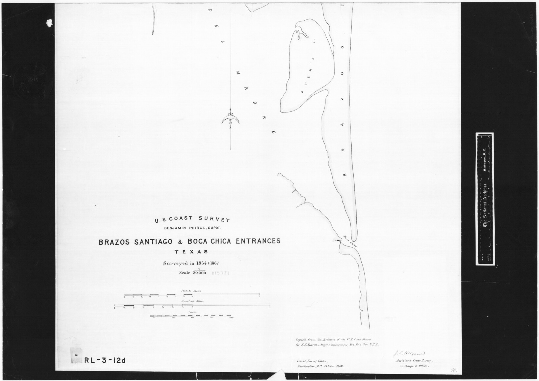
Brazos Santiago & Boca Chica entrances, Texas
RL-3-12d
-
Map/Doc
72927
-
Collection
General Map Collection
-
Object Dates
1867 (Creation Date)
-
People and Organizations
U. S. Coast Survey Office (Author)
-
Subjects
Nautical Charts
-
Height x Width
18.1 x 25.6 inches
46.0 x 65.0 cm
-
Comments
B/W photostat copy from National Archives in multiple pieces.
Part of: General Map Collection
DeWitt County Sketch File 8

Print $4.00
- Digital $50.00
DeWitt County Sketch File 8
1876
Size 8.5 x 5.2 inches
Map/Doc 20818
Ochiltree County Rolled Sketch 1

Print $20.00
- Digital $50.00
Ochiltree County Rolled Sketch 1
1942
Size 29.3 x 38.8 inches
Map/Doc 9655
Plat of All Surveys on the Lavaca Not Heretofor Returned

Print $2.00
- Digital $50.00
Plat of All Surveys on the Lavaca Not Heretofor Returned
1841
Size 12.5 x 7.8 inches
Map/Doc 78361
Zavala County Working Sketch 27

Print $20.00
- Digital $50.00
Zavala County Working Sketch 27
1990
Size 22.3 x 27.5 inches
Map/Doc 62102
Val Verde County Working Sketch 44

Print $40.00
- Digital $50.00
Val Verde County Working Sketch 44
1945
Size 49.7 x 39.5 inches
Map/Doc 72179
Flight Mission No. DQN-1K, Frame 74, Calhoun County

Print $20.00
- Digital $50.00
Flight Mission No. DQN-1K, Frame 74, Calhoun County
1953
Size 18.4 x 22.1 inches
Map/Doc 84161
[Pecos and Northern Texas Ry., Bailey Co., from Parmer Co. line through Lariat and Muleshoe to Lamb Co. line]
![64637, [Pecos and Northern Texas Ry., Bailey Co., from Parmer Co. line through Lariat and Muleshoe to Lamb Co. line], General Map Collection](https://historictexasmaps.com/wmedia_w700/maps/64637.tif.jpg)
Print $40.00
- Digital $50.00
[Pecos and Northern Texas Ry., Bailey Co., from Parmer Co. line through Lariat and Muleshoe to Lamb Co. line]
1912
Size 18.8 x 67.7 inches
Map/Doc 64637
Colorado County Working Sketch 9

Print $20.00
- Digital $50.00
Colorado County Working Sketch 9
1939
Size 12.0 x 15.7 inches
Map/Doc 68109
Newton County Working Sketch 39

Print $20.00
- Digital $50.00
Newton County Working Sketch 39
1961
Size 36.6 x 41.0 inches
Map/Doc 71285
Knox County Working Sketch 4

Print $20.00
- Digital $50.00
Knox County Working Sketch 4
1919
Size 18.0 x 25.6 inches
Map/Doc 70246
Cherokee County Working Sketch 9

Print $20.00
- Digital $50.00
Cherokee County Working Sketch 9
1957
Size 46.9 x 34.0 inches
Map/Doc 67964

You may also like
Uvalde County Working Sketch 23

Print $20.00
- Digital $50.00
Uvalde County Working Sketch 23
1952
Size 32.0 x 26.6 inches
Map/Doc 72093
Mills County Sketch File 23

Print $4.00
- Digital $50.00
Mills County Sketch File 23
Size 12.4 x 9.2 inches
Map/Doc 31672

Midland County Sketch File 18

Print $4.00
- Digital $50.00
Midland County Sketch File 18
Size 14.7 x 8.1 inches
Map/Doc 31585
Map of Fort Worth

Print $40.00
- Digital $50.00
Map of Fort Worth
1902
Size 61.3 x 34.8 inches
Map/Doc 93274
Crawford Farm S 1/2 Section 59, Block A

Print $3.00
- Digital $50.00
Crawford Farm S 1/2 Section 59, Block A
Size 16.5 x 9.9 inches
Map/Doc 92337
Aransas County NRC Article 33.136 Location Key Sheet

Print $20.00
- Digital $50.00
Aransas County NRC Article 33.136 Location Key Sheet
1975
Size 27.0 x 23.0 inches
Map/Doc 77004
Jefferson County Rolled Sketch 48A

Print $20.00
- Digital $50.00
Jefferson County Rolled Sketch 48A
1964
Size 28.4 x 28.1 inches
Map/Doc 6404
General Highway Map, Oldham County, Texas

Print $20.00
General Highway Map, Oldham County, Texas
1961
Size 24.6 x 18.2 inches
Map/Doc 79620
Sketch in Castro County

Print $2.00
- Digital $50.00
Sketch in Castro County
1888
Size 7.8 x 7.9 inches
Map/Doc 90388
Rockwall County Sketch File 8

Print $4.00
Rockwall County Sketch File 8
Size 7.1 x 10.6 inches
Map/Doc 35429
Texas Official Travel Map

Digital $50.00
Texas Official Travel Map
Size 33.6 x 36.5 inches
Map/Doc 94301