[Pecos and Northern Texas Ry., Bailey Co., from Parmer Co. line through Lariat and Muleshoe to Lamb Co. line]
[Mile 10 to 32]
Z-2-189
-
Map/Doc
64637
-
Collection
General Map Collection
-
Object Dates
1912 (Creation Date)
1956 (File Date)
-
Counties
Lamb Bailey
-
Subjects
Railroads
-
Height x Width
18.8 x 67.7 inches
47.8 x 172.0 cm
-
Medium
blueprint/diazo
-
Comments
See 64635 and 64636 for other segments.
-
Features
P&NT
Mill
Part of: General Map Collection
Galveston County Rolled Sketch 44


Print $20.00
- Digital $50.00
Galveston County Rolled Sketch 44
1991
Size 24.9 x 36.9 inches
Map/Doc 5973
Moore County Working Sketch 4
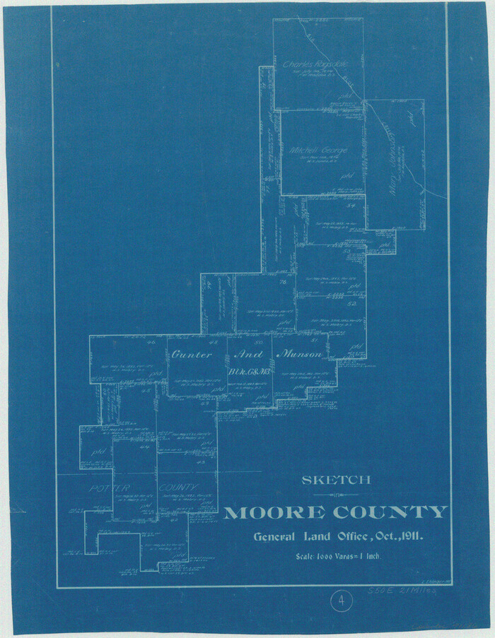

Print $20.00
- Digital $50.00
Moore County Working Sketch 4
1911
Size 20.1 x 15.6 inches
Map/Doc 71186
Young Territory


Print $20.00
- Digital $50.00
Young Territory
1873
Size 45.3 x 42.8 inches
Map/Doc 1988
Crosby County Sketch File 12
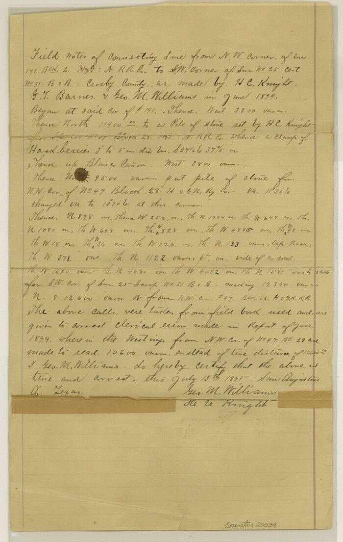

Print $4.00
- Digital $50.00
Crosby County Sketch File 12
1895
Size 14.3 x 9.1 inches
Map/Doc 20034
Angelina County Working Sketch 50
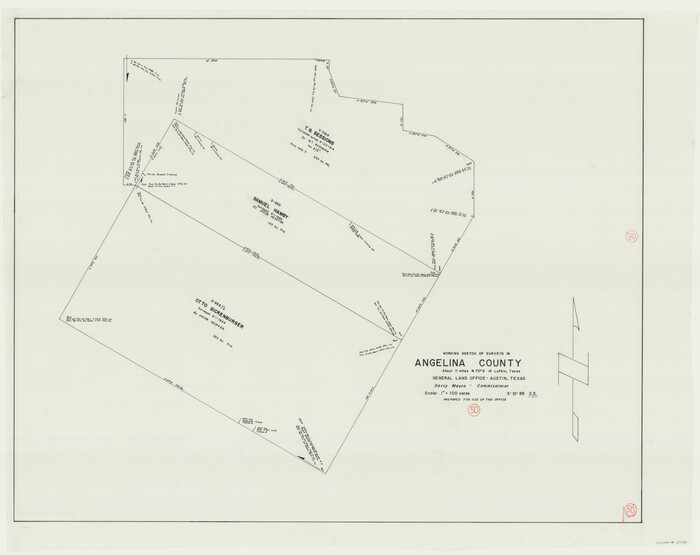

Print $20.00
- Digital $50.00
Angelina County Working Sketch 50
1985
Size 34.2 x 43.2 inches
Map/Doc 67133
[Surveys East of river copied from U.S. map of Township No. 6 South, Range No. 9 West of the Indian Meridian, Oklahoma]
![75185, [Surveys East of river copied from U.S. map of Township No. 6 South, Range No. 9 West of the Indian Meridian, Oklahoma], General Map Collection](https://historictexasmaps.com/wmedia_w700/maps/75185.tif.jpg)
![75185, [Surveys East of river copied from U.S. map of Township No. 6 South, Range No. 9 West of the Indian Meridian, Oklahoma], General Map Collection](https://historictexasmaps.com/wmedia_w700/maps/75185.tif.jpg)
Print $2.00
- Digital $50.00
[Surveys East of river copied from U.S. map of Township No. 6 South, Range No. 9 West of the Indian Meridian, Oklahoma]
Size 13.3 x 9.0 inches
Map/Doc 75185
Map of Runnels County
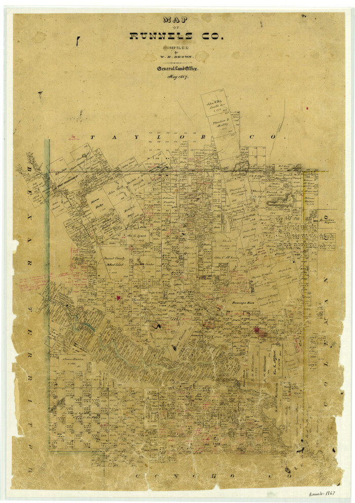

Print $20.00
- Digital $50.00
Map of Runnels County
1867
Size 27.3 x 19.3 inches
Map/Doc 4003
America's Fun-Tier: Texas 1966 Official State Highway Map
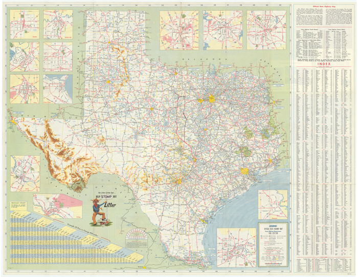

Digital $50.00
America's Fun-Tier: Texas 1966 Official State Highway Map
Size 28.2 x 36.5 inches
Map/Doc 94324
McLennan County Working Sketch 1
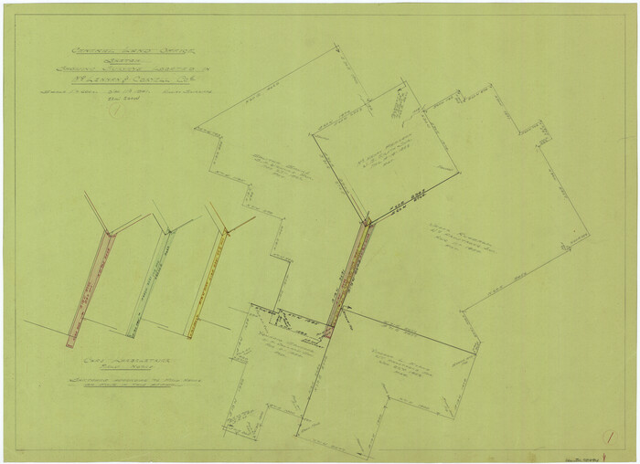

Print $20.00
- Digital $50.00
McLennan County Working Sketch 1
1941
Size 21.5 x 29.6 inches
Map/Doc 70694
Flight Mission No. DAG-28K, Frame 33, Matagorda County
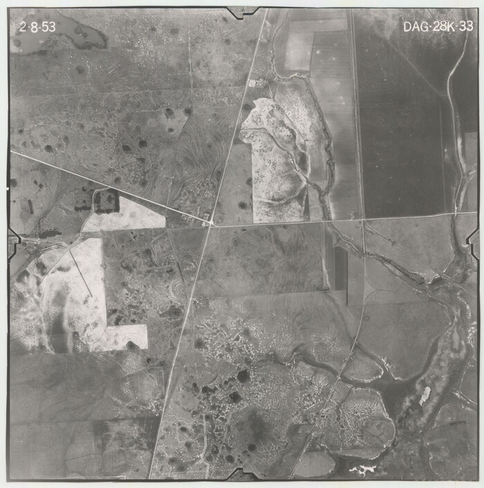

Print $20.00
- Digital $50.00
Flight Mission No. DAG-28K, Frame 33, Matagorda County
1953
Size 16.2 x 16.0 inches
Map/Doc 86601
Brazoria County Rolled Sketch 35
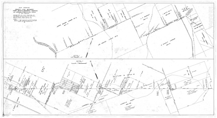

Print $40.00
- Digital $50.00
Brazoria County Rolled Sketch 35
1934
Size 32.7 x 60.0 inches
Map/Doc 8459
Jeff Davis County Working Sketch 21

Print $20.00
- Digital $50.00
Jeff Davis County Working Sketch 21
1957
Size 25.2 x 44.0 inches
Map/Doc 66516
You may also like
Flight Mission No. DIX-3P, Frame 133, Aransas County

Print $20.00
- Digital $50.00
Flight Mission No. DIX-3P, Frame 133, Aransas County
1956
Size 17.8 x 21.1 inches
Map/Doc 83763
General Highway Map, Hidalgo County, Texas


Print $20.00
General Highway Map, Hidalgo County, Texas
1961
Size 18.2 x 24.8 inches
Map/Doc 79519
Kleberg County Boundary File 2b


Print $20.00
- Digital $50.00
Kleberg County Boundary File 2b
Size 8.0 x 28.9 inches
Map/Doc 64978
General Highway Map, Moore County, Texas

Print $20.00
General Highway Map, Moore County, Texas
1961
Size 18.1 x 24.5 inches
Map/Doc 79604
Starr County Working Sketch 14


Print $20.00
- Digital $50.00
Starr County Working Sketch 14
1952
Size 23.4 x 20.9 inches
Map/Doc 63930
Flight Mission No. DAG-23K, Frame 12, Matagorda County

Print $20.00
- Digital $50.00
Flight Mission No. DAG-23K, Frame 12, Matagorda County
1953
Size 15.5 x 15.5 inches
Map/Doc 86474
Tom Green County Rolled Sketch 10
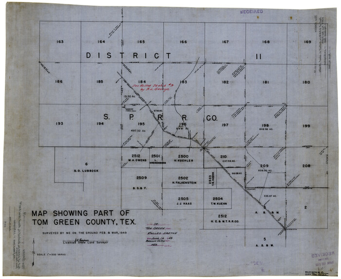

Print $20.00
- Digital $50.00
Tom Green County Rolled Sketch 10
1949
Size 26.4 x 32.5 inches
Map/Doc 7997
General Highway Map, Oldham County, Texas
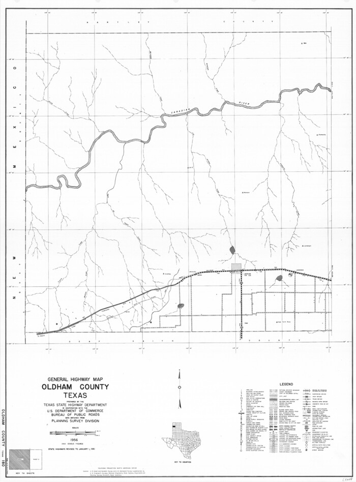

Print $20.00
General Highway Map, Oldham County, Texas
1961
Size 24.5 x 18.1 inches
Map/Doc 79619
Freestone County Working Sketch 31a
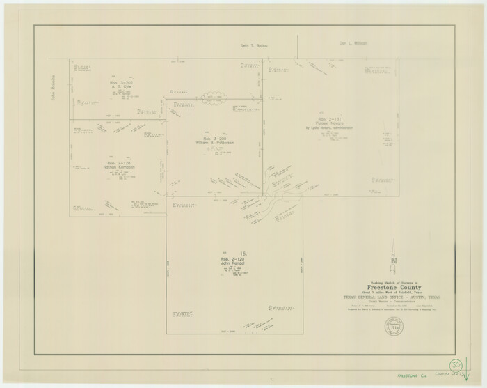

Print $20.00
- Digital $50.00
Freestone County Working Sketch 31a
1996
Size 25.4 x 31.9 inches
Map/Doc 69273
Presidio County Rolled Sketch 138


Print $20.00
- Digital $50.00
Presidio County Rolled Sketch 138
2000
Size 36.7 x 25.1 inches
Map/Doc 7405
Sutton County Sketch File 6a
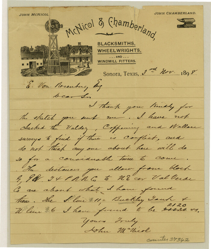

Print $6.00
- Digital $50.00
Sutton County Sketch File 6a
1898
Size 7.5 x 6.4 inches
Map/Doc 37362
Flight Mission No. CRC-2R, Frame 189, Chambers County


Print $20.00
- Digital $50.00
Flight Mission No. CRC-2R, Frame 189, Chambers County
1956
Size 18.6 x 22.4 inches
Map/Doc 84767
![64637, [Pecos and Northern Texas Ry., Bailey Co., from Parmer Co. line through Lariat and Muleshoe to Lamb Co. line], General Map Collection](https://historictexasmaps.com/wmedia_w1800h1800/maps/64637.tif.jpg)