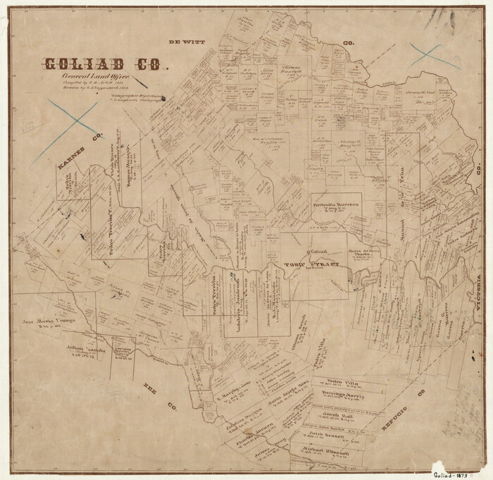
[Corpus Christi Bay, Padre Island, Mustang Island, Laguna de la Madre, King and Kenedy's Pasture]
RL-4-12
-
Map/Doc
73047
-
Collection
General Map Collection
-
Subjects
Gulf of Mexico
-
Height x Width
18.2 x 26.0 inches
46.2 x 66.0 cm
-
Comments
B/W photostat copy from National Archives in multiple pieces.
Part of: General Map Collection
Howard County Boundary File 3


Print $51.00
- Digital $50.00
Howard County Boundary File 3
Size 9.3 x 4.5 inches
Map/Doc 55130
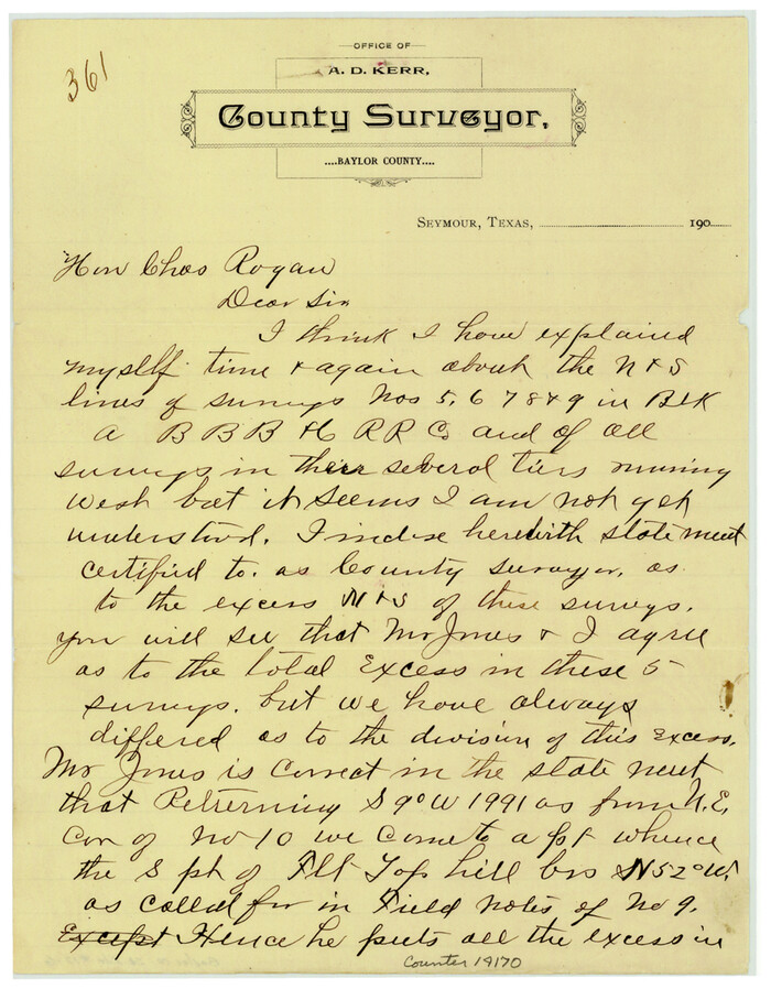
Baylor County Sketch File 12g

Print $50.00
- Digital $50.00
Baylor County Sketch File 12g
Size 11.4 x 8.9 inches
Map/Doc 14170
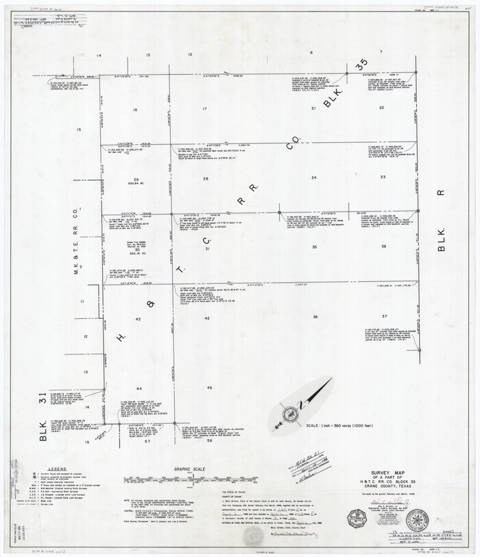
Crane County Rolled Sketch 21

Print $20.00
- Digital $50.00
Crane County Rolled Sketch 21
1988
Size 42.5 x 36.6 inches
Map/Doc 8685
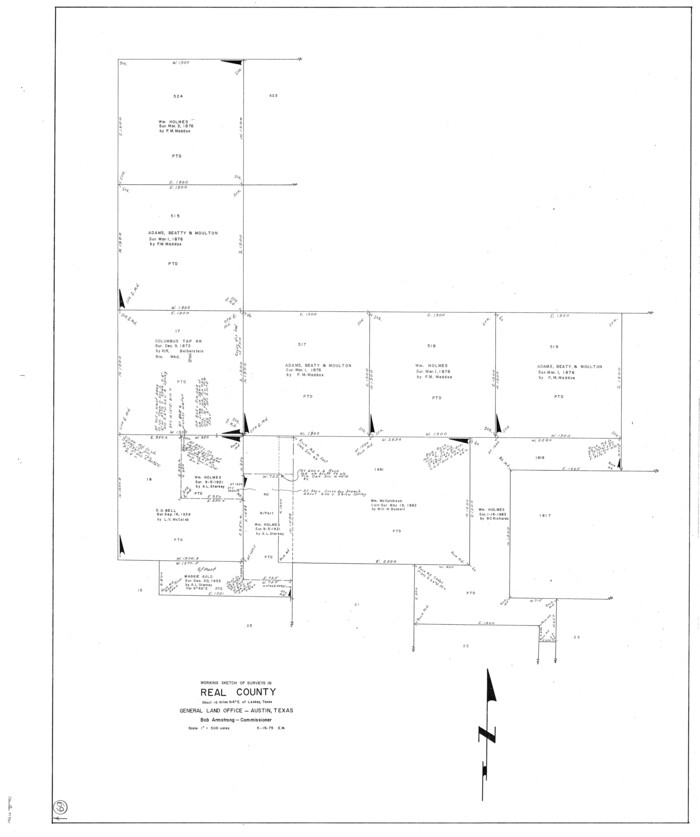
Real County Working Sketch 69

Print $20.00
- Digital $50.00
Real County Working Sketch 69
1942
Size 42.4 x 35.4 inches
Map/Doc 71961
Loving County Rolled Sketch 14
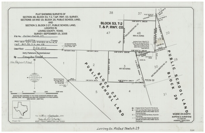

Print $20.00
- Digital $50.00
Loving County Rolled Sketch 14
2006
Size 11.4 x 17.5 inches
Map/Doc 93381
San Patricio County Sketch File 12
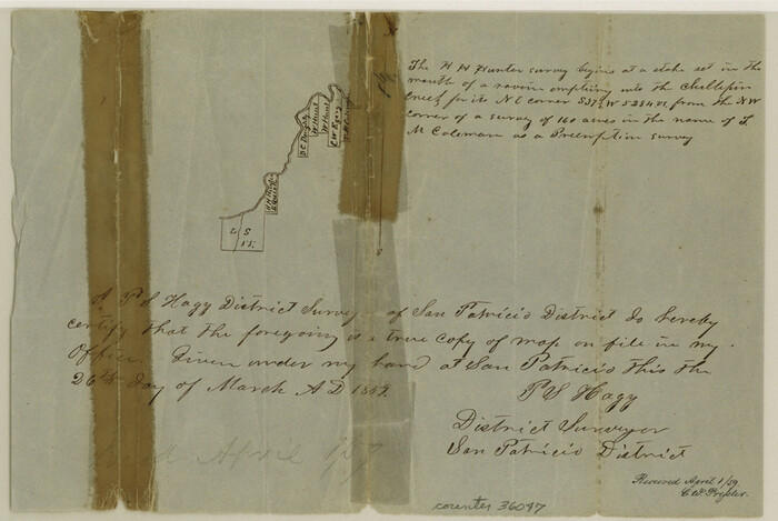

Print $4.00
San Patricio County Sketch File 12
1859
Size 6.6 x 9.9 inches
Map/Doc 36047
Current Miscellaneous File 35
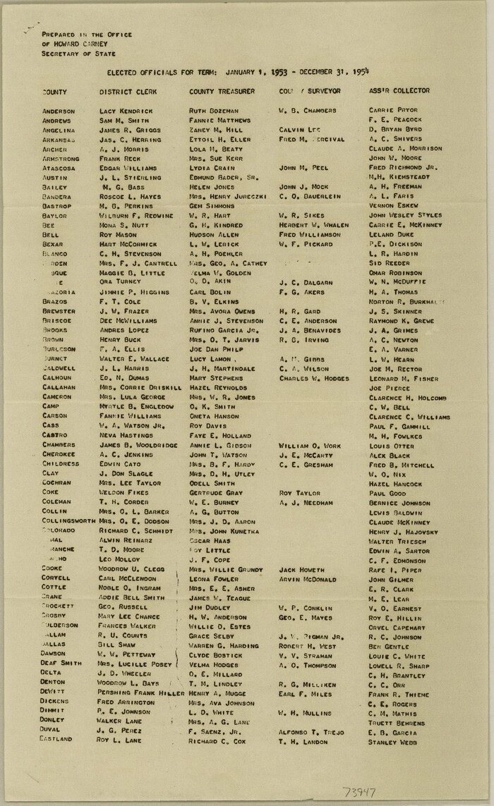

Print $10.00
- Digital $50.00
Current Miscellaneous File 35
Size 14.2 x 8.7 inches
Map/Doc 73947
Flight Mission No. BRE-2P, Frame 137, Nueces County
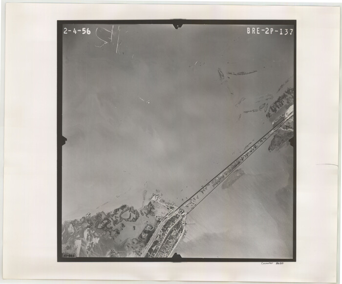

Print $20.00
- Digital $50.00
Flight Mission No. BRE-2P, Frame 137, Nueces County
1956
Size 18.6 x 22.4 inches
Map/Doc 86810
Flight Mission No. DQN-7K, Frame 92, Calhoun County
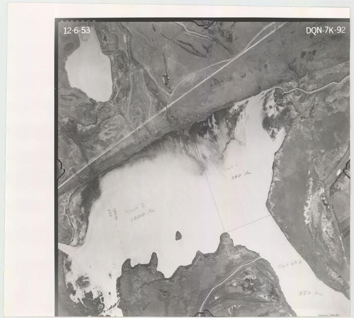

Print $20.00
- Digital $50.00
Flight Mission No. DQN-7K, Frame 92, Calhoun County
1953
Size 17.2 x 19.1 inches
Map/Doc 84483
Fayette County Boundary File 2

Print $53.00
- Digital $50.00
Fayette County Boundary File 2
Size 11.2 x 9.0 inches
Map/Doc 53331
Reagan County Sketch File 16


Print $8.00
- Digital $50.00
Reagan County Sketch File 16
1932
Size 11.1 x 7.7 inches
Map/Doc 35002
You may also like
Field Notes of a Survey of Padre Island


Print $20.00
- Digital $50.00
Field Notes of a Survey of Padre Island
1941
Size 43.2 x 30.0 inches
Map/Doc 2271
Zavala County Working Sketch 30


Print $20.00
- Digital $50.00
Zavala County Working Sketch 30
1989
Size 36.8 x 28.1 inches
Map/Doc 62105
Randall County Rolled Sketch 8


Print $20.00
- Digital $50.00
Randall County Rolled Sketch 8
1975
Size 33.7 x 43.7 inches
Map/Doc 10620
Webb County Working Sketch 70
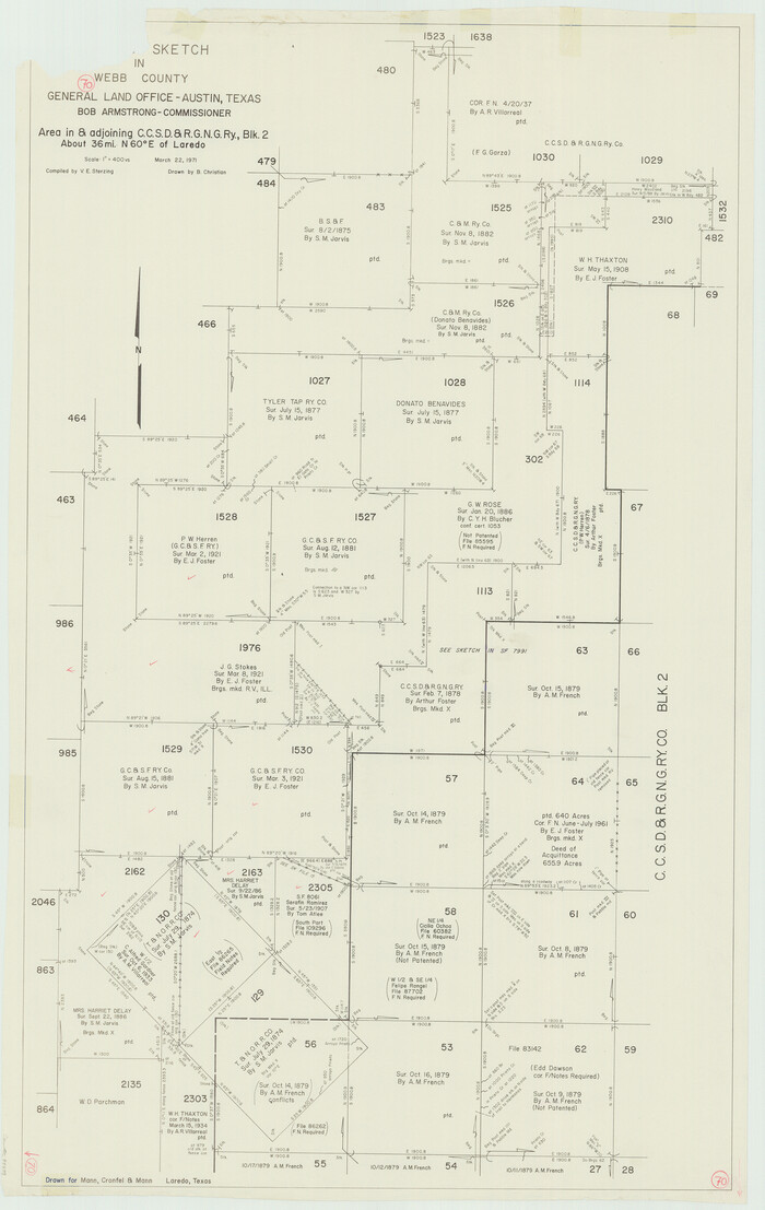

Print $20.00
- Digital $50.00
Webb County Working Sketch 70
1971
Size 43.3 x 27.4 inches
Map/Doc 72437
Map of Bosque County


Print $20.00
- Digital $50.00
Map of Bosque County
1869
Size 24.1 x 23.7 inches
Map/Doc 3313
Flight Mission No. CGI-1N, Frame 221, Cameron County
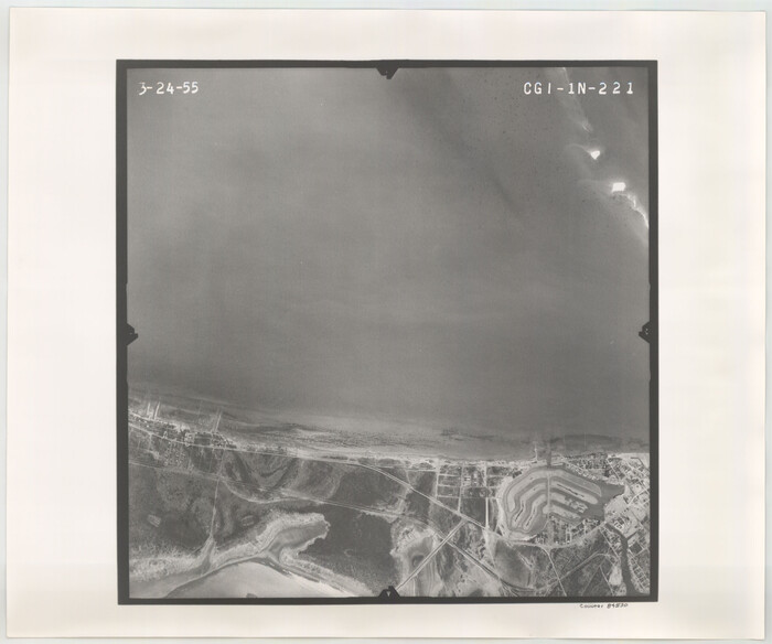

Print $20.00
- Digital $50.00
Flight Mission No. CGI-1N, Frame 221, Cameron County
1955
Size 18.5 x 22.2 inches
Map/Doc 84530
United States - Gulf Coast Texas - Southern part of Laguna Madre
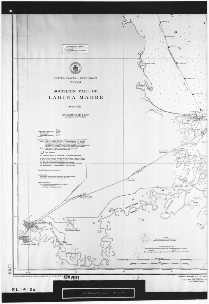

Print $20.00
- Digital $50.00
United States - Gulf Coast Texas - Southern part of Laguna Madre
1941
Size 26.4 x 18.2 inches
Map/Doc 72939
Index sheet to accompany map of survey for connecting the inland waters along margin of the Gulf of Mexico from Donaldsonville in Louisiana to the Rio Grande River in Texas


Print $20.00
- Digital $50.00
Index sheet to accompany map of survey for connecting the inland waters along margin of the Gulf of Mexico from Donaldsonville in Louisiana to the Rio Grande River in Texas
1873
Size 18.2 x 28.2 inches
Map/Doc 72693
Polk County Sketch File 40


Print $4.00
- Digital $50.00
Polk County Sketch File 40
Size 10.9 x 8.5 inches
Map/Doc 34290
Edwards County Sketch File A1
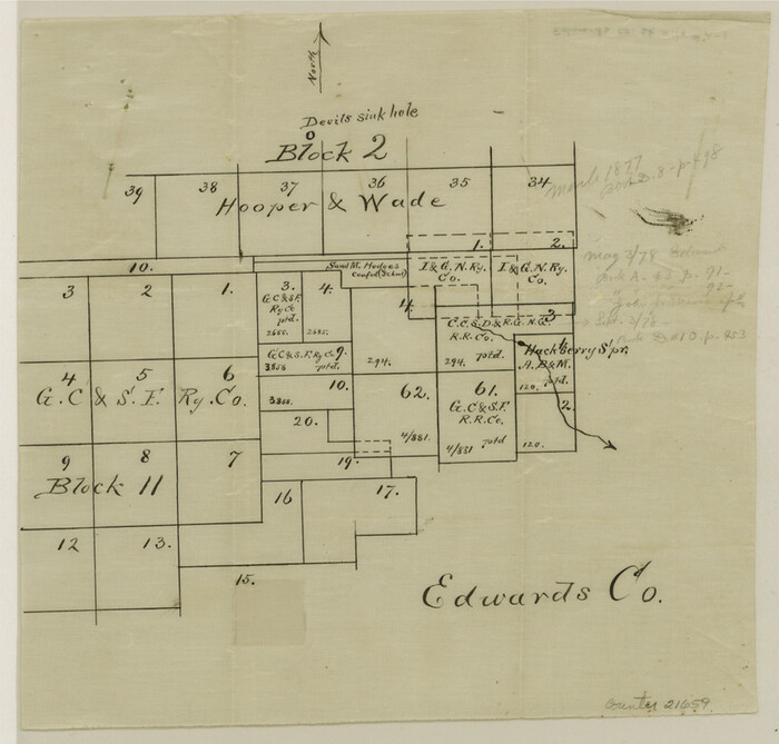

Print $6.00
- Digital $50.00
Edwards County Sketch File A1
Size 8.5 x 8.8 inches
Map/Doc 21659
The Chief Justice County of Goliad. Proposed, No Date


Print $20.00
The Chief Justice County of Goliad. Proposed, No Date
2020
Size 14.7 x 21.7 inches
Map/Doc 96046
[Blocks 44 and 6T]
![91410, [Blocks 44 and 6T], Twichell Survey Records](https://historictexasmaps.com/wmedia_w700/maps/91410-1.tif.jpg)
![91410, [Blocks 44 and 6T], Twichell Survey Records](https://historictexasmaps.com/wmedia_w700/maps/91410-1.tif.jpg)
Print $20.00
- Digital $50.00
[Blocks 44 and 6T]
Size 29.3 x 17.4 inches
Map/Doc 91410
![73047, [Corpus Christi Bay, Padre Island, Mustang Island, Laguna de la Madre, King and Kenedy's Pasture], General Map Collection](https://historictexasmaps.com/wmedia_w1800h1800/maps/73047.tif.jpg)
