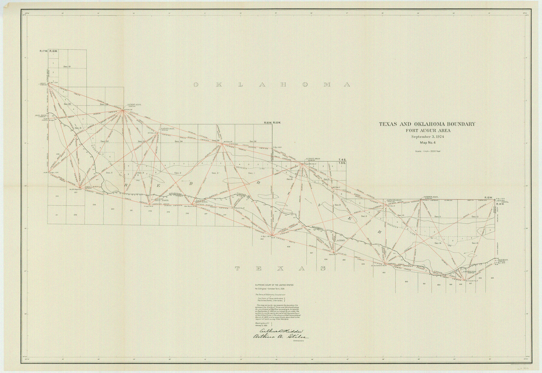
Supreme Court of the United States, October Term, 1924, No. 13, Original - The State of Oklahoma, Complainant vs. The State of Texas, Defendant, The United States, Intervener
-
Map/Doc
75131
-
Collection
General Map Collection
-
Object Dates
1924/9/23 (Creation Date)
-
Subjects
Texas Boundaries Topographic
-
Height x Width
26.5 x 38.5 inches
67.3 x 97.8 cm
Part of: General Map Collection
Flight Mission No. DQO-1K, Frame 146, Galveston County

Print $20.00
- Digital $50.00
Flight Mission No. DQO-1K, Frame 146, Galveston County
1952
Size 18.9 x 22.5 inches
Map/Doc 84999
Webb County Rolled Sketch 39

Print $20.00
- Digital $50.00
Webb County Rolled Sketch 39
1941
Size 21.3 x 18.4 inches
Map/Doc 8194
Flight Mission No. CRE-2R, Frame 171, Jackson County

Print $20.00
- Digital $50.00
Flight Mission No. CRE-2R, Frame 171, Jackson County
1956
Size 18.7 x 22.3 inches
Map/Doc 85381
Matagorda County Working Sketch 2

Print $20.00
- Digital $50.00
Matagorda County Working Sketch 2
Size 32.6 x 37.0 inches
Map/Doc 70860
Medina County Rolled Sketch 3

Print $40.00
- Digital $50.00
Medina County Rolled Sketch 3
Size 40.9 x 54.5 inches
Map/Doc 9504
Flight Mission No. CGI-4N, Frame 26, Cameron County

Print $20.00
- Digital $50.00
Flight Mission No. CGI-4N, Frame 26, Cameron County
1954
Size 18.8 x 22.3 inches
Map/Doc 84659
Zapata County Rolled Sketch 7

Print $20.00
- Digital $50.00
Zapata County Rolled Sketch 7
1912
Size 18.1 x 27.9 inches
Map/Doc 8308
Rains County Working Sketch 10

Print $20.00
- Digital $50.00
Rains County Working Sketch 10
1998
Size 36.1 x 34.7 inches
Map/Doc 71836
Houston County Working Sketch 9

Print $20.00
- Digital $50.00
Houston County Working Sketch 9
1939
Size 28.9 x 31.3 inches
Map/Doc 66239
Flight Mission No. BQR-22K, Frame 41, Brazoria County

Print $20.00
- Digital $50.00
Flight Mission No. BQR-22K, Frame 41, Brazoria County
1953
Size 18.8 x 22.5 inches
Map/Doc 84125
Lamar County Working Sketch 4

Print $20.00
- Digital $50.00
Lamar County Working Sketch 4
1920
Size 14.4 x 25.1 inches
Map/Doc 70265
Pecos County Working Sketch 124

Print $40.00
- Digital $50.00
Pecos County Working Sketch 124
1974
Size 57.9 x 38.2 inches
Map/Doc 71597
You may also like
Flight Mission No. BRA-8M, Frame 82, Jefferson County

Print $20.00
- Digital $50.00
Flight Mission No. BRA-8M, Frame 82, Jefferson County
1953
Size 15.8 x 15.7 inches
Map/Doc 85602

[Leagues 319-325]
![91360, [Leagues 319-325], Twichell Survey Records](https://historictexasmaps.com/wmedia_w700/maps/91360-1.tif.jpg)
Print $20.00
- Digital $50.00
[Leagues 319-325]
Size 37.3 x 22.9 inches
Map/Doc 91360
Crockett County Sketch File 71

Print $8.00
- Digital $50.00
Crockett County Sketch File 71
1934
Size 11.2 x 8.8 inches
Map/Doc 19858
Dimmit County Working Sketch Graphic Index - sheet B

Print $40.00
- Digital $50.00
Dimmit County Working Sketch Graphic Index - sheet B
1976
Size 41.5 x 49.9 inches
Map/Doc 76525
Trinity County Sketch File 36

Print $20.00
- Digital $50.00
Trinity County Sketch File 36
Size 43.4 x 18.1 inches
Map/Doc 10408
Real County Working Sketch 23

Print $20.00
- Digital $50.00
Real County Working Sketch 23
1946
Size 20.4 x 23.4 inches
Map/Doc 71915
Colorado County Rolled Sketch 3

Print $20.00
- Digital $50.00
Colorado County Rolled Sketch 3
1943
Size 42.4 x 38.7 inches
Map/Doc 8641
Armstrong County

Print $20.00
- Digital $50.00
Armstrong County
1904
Size 45.7 x 40.6 inches
Map/Doc 4876
Menard County Working Sketch 24

Print $20.00
- Digital $50.00
Menard County Working Sketch 24
1950
Size 38.1 x 22.6 inches
Map/Doc 70971
Clay County Sketch File 4

Print $22.00
- Digital $50.00
Clay County Sketch File 4
1854
Size 5.0 x 7.5 inches
Map/Doc 18392
Mills County Rolled Sketch 2

Print $20.00
- Digital $50.00
Mills County Rolled Sketch 2
1974
Size 24.1 x 22.8 inches
Map/Doc 6780