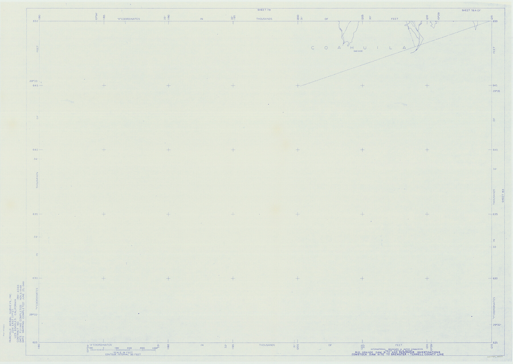
Amistad International Reservoir on Rio Grande 78a
Rio Grande Dam Site and Reservoir Investigations
-
Map/Doc
75507
-
Collection
General Map Collection
-
Object Dates
1949/6/25 (Creation Date)
-
People and Organizations
International Boundary and Water Commission (Publisher)
Fairchild Aerial Surveys Inc. (Surveyor/Engineer)
-
Counties
Val Verde
-
Subjects
Texas Boundaries Topographic
-
Height x Width
28.5 x 40.1 inches
72.4 x 101.9 cm
-
Medium
blueline
-
Comments
Comstock Dam site to Brewster-Terrell County line.
Part of: General Map Collection
Campbell's Addition to El Paso, Texas

Print $20.00
- Digital $50.00
Campbell's Addition to El Paso, Texas
1885
Size 43.5 x 43.1 inches
Map/Doc 8854
Flight Mission No. DCL-5C, Frame 70, Kenedy County

Print $20.00
- Digital $50.00
Flight Mission No. DCL-5C, Frame 70, Kenedy County
1943
Size 18.7 x 22.2 inches
Map/Doc 85853
Washington County Sketch File 4

Print $4.00
- Digital $50.00
Washington County Sketch File 4
1863
Size 12.8 x 7.8 inches
Map/Doc 39650
Polk County Rolled Sketch 30

Print $20.00
- Digital $50.00
Polk County Rolled Sketch 30
1958
Size 27.8 x 31.5 inches
Map/Doc 7316
Brooks County Rolled Sketch 26

Print $20.00
- Digital $50.00
Brooks County Rolled Sketch 26
1945
Size 33.7 x 43.3 inches
Map/Doc 8539
El Paso County Working Sketch 14

Print $20.00
- Digital $50.00
El Paso County Working Sketch 14
1957
Size 10.0 x 27.0 inches
Map/Doc 69036
Pecos County Working Sketch 119

Print $20.00
- Digital $50.00
Pecos County Working Sketch 119
1973
Size 42.8 x 30.9 inches
Map/Doc 71592
Val Verde County Working Sketch 54

Print $20.00
- Digital $50.00
Val Verde County Working Sketch 54
1956
Size 24.0 x 20.4 inches
Map/Doc 72189
Hockley County Rolled Sketch 5

Print $40.00
- Digital $50.00
Hockley County Rolled Sketch 5
Size 80.8 x 29.5 inches
Map/Doc 9175
Rio Grande Rectification Project, El Paso and Juarez Valley

Print $20.00
- Digital $50.00
Rio Grande Rectification Project, El Paso and Juarez Valley
1935
Size 10.7 x 29.7 inches
Map/Doc 60863
Flight Mission No. BRE-2P, Frame 65, Nueces County

Print $20.00
- Digital $50.00
Flight Mission No. BRE-2P, Frame 65, Nueces County
1956
Size 18.4 x 22.3 inches
Map/Doc 86760
Taylor County Working Sketch 3

Print $20.00
- Digital $50.00
Taylor County Working Sketch 3
1939
Size 15.2 x 19.2 inches
Map/Doc 69612
You may also like
Orange County Working Sketch 19

Print $20.00
- Digital $50.00
Orange County Working Sketch 19
1931
Size 25.8 x 15.0 inches
Map/Doc 71351
Harris County Sketch File 5

Print $20.00
- Digital $50.00
Harris County Sketch File 5
1858
Size 22.0 x 15.0 inches
Map/Doc 11648
Clay County Sketch File 7

Print $2.00
- Digital $50.00
Clay County Sketch File 7
Size 8.2 x 3.5 inches
Map/Doc 18397
Americae Sive Novi Orbis Nova Descriptio

Print $20.00
- Digital $50.00
Americae Sive Novi Orbis Nova Descriptio
1579
Size 18.0 x 22.9 inches
Map/Doc 93805
Chambers County Boundary File 1

Print $28.00
- Digital $50.00
Chambers County Boundary File 1
Size 8.9 x 6.7 inches
Map/Doc 51226
[Hutchinson County, Blocks R, XO, M-22, M-25]
![91152, [Hutchinson County, Blocks R, XO, M-22, M-25], Twichell Survey Records](https://historictexasmaps.com/wmedia_w700/maps/91152-1.tif.jpg)
Print $20.00
- Digital $50.00
[Hutchinson County, Blocks R, XO, M-22, M-25]
Size 28.5 x 25.9 inches
Map/Doc 91152
Zavala County Sketch File 48

Print $6.00
- Digital $50.00
Zavala County Sketch File 48
1942
Size 11.4 x 9.0 inches
Map/Doc 41438
General Highway Map. Detail of Cities and Towns in Smith County, Texas

Print $20.00
General Highway Map. Detail of Cities and Towns in Smith County, Texas
1961
Size 18.3 x 24.6 inches
Map/Doc 79655
Pecos County Rolled Sketch 155

Print $40.00
- Digital $50.00
Pecos County Rolled Sketch 155
Size 65.1 x 44.8 inches
Map/Doc 9737
Flight Mission No. DIX-3P, Frame 166, Aransas County

Print $20.00
- Digital $50.00
Flight Mission No. DIX-3P, Frame 166, Aransas County
1956
Size 17.8 x 18.7 inches
Map/Doc 83772
Hudspeth County Working Sketch 36

Print $40.00
- Digital $50.00
Hudspeth County Working Sketch 36
1977
Size 63.1 x 37.2 inches
Map/Doc 66321
Burnet County Working Sketch 12

Print $20.00
- Digital $50.00
Burnet County Working Sketch 12
1976
Size 17.3 x 19.9 inches
Map/Doc 67855