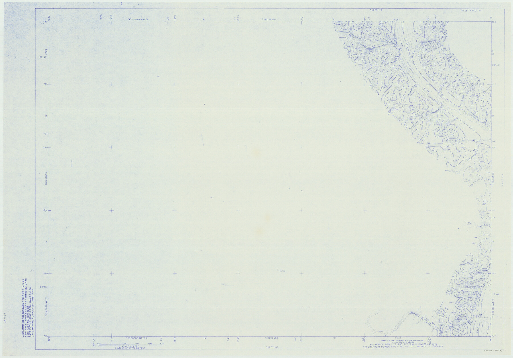
Amistad International Reservoir on Rio Grande 108
Rio Grande Dam Site and Reservoir Investigations
-
Map/Doc
75539
-
Collection
General Map Collection
-
Object Dates
1950 (Creation Date)
-
People and Organizations
International Boundary and Water Commission (Publisher)
Jack Ammann Photogrammetric Engineers (Surveyor/Engineer)
-
Counties
Val Verde
-
Subjects
Texas Boundaries Topographic
-
Height x Width
28.5 x 40.9 inches
72.4 x 103.9 cm
-
Medium
blueline
-
Comments
Rio Grande and Devil's River - Del Rio to Longitude 102 degrees 30 minutes West.
Part of: General Map Collection
San Patricio County Rolled Sketch 49

Print $20.00
- Digital $50.00
San Patricio County Rolled Sketch 49
1979
Size 19.7 x 17.7 inches
Map/Doc 7734
Flight Mission No. DCL-6C, Frame 129, Kenedy County

Print $20.00
- Digital $50.00
Flight Mission No. DCL-6C, Frame 129, Kenedy County
1943
Size 18.5 x 22.3 inches
Map/Doc 85959
Flight Mission No. DQO-3K, Frame 25, Galveston County

Print $20.00
- Digital $50.00
Flight Mission No. DQO-3K, Frame 25, Galveston County
1952
Size 18.8 x 22.4 inches
Map/Doc 85066
Hall County Boundary File 1

Print $26.00
- Digital $50.00
Hall County Boundary File 1
Size 8.8 x 4.0 inches
Map/Doc 54158
Randall County Rolled Sketch 2

Print $20.00
- Digital $50.00
Randall County Rolled Sketch 2
1941
Size 31.9 x 23.9 inches
Map/Doc 7422
Brewster County Rolled Sketch 125

Print $179.00
- Digital $50.00
Brewster County Rolled Sketch 125
1889
Map/Doc 43141
Harris County Historic Topographic 36

Print $20.00
- Digital $50.00
Harris County Historic Topographic 36
1916
Size 29.5 x 23.0 inches
Map/Doc 65847
Map of the country in the vicinity of San Antonio de Bexar reduced in part from the county map of Bexar with additions by J. Edmd. Blake, 1st Lieut Topl. Engs.

Print $20.00
- Digital $50.00
Map of the country in the vicinity of San Antonio de Bexar reduced in part from the county map of Bexar with additions by J. Edmd. Blake, 1st Lieut Topl. Engs.
1845
Size 18.3 x 26.1 inches
Map/Doc 72721

Current Miscellaneous File 24a

Print $8.00
- Digital $50.00
Current Miscellaneous File 24a
1949
Size 11.0 x 8.6 inches
Map/Doc 73893
Eastland County Working Sketch 2

Print $20.00
- Digital $50.00
Eastland County Working Sketch 2
1915
Size 17.3 x 20.4 inches
Map/Doc 68783
Sterling County Working Sketch 1

Print $20.00
- Digital $50.00
Sterling County Working Sketch 1
1926
Size 30.3 x 29.6 inches
Map/Doc 63983
You may also like
Crockett County Rolled Sketch 26

Print $20.00
- Digital $50.00
Crockett County Rolled Sketch 26
Size 33.7 x 40.9 inches
Map/Doc 5585
Harris County Sketch File 30

Print $21.00
- Digital $50.00
Harris County Sketch File 30
Size 11.3 x 8.5 inches
Map/Doc 25416
Upton County Boundary File 1a

Print $27.00
- Digital $50.00
Upton County Boundary File 1a
Size 13.6 x 9.1 inches
Map/Doc 59508
Coke County Rolled Sketch 3

Print $20.00
- Digital $50.00
Coke County Rolled Sketch 3
1947
Size 40.6 x 40.3 inches
Map/Doc 8623
Flight Mission No. DAG-14K, Frame 134, Matagorda County

Print $20.00
- Digital $50.00
Flight Mission No. DAG-14K, Frame 134, Matagorda County
1952
Size 17.6 x 17.4 inches
Map/Doc 86305
Childress County Rolled Sketch 9B

Print $20.00
- Digital $50.00
Childress County Rolled Sketch 9B
Size 17.3 x 23.6 inches
Map/Doc 5448
Flight Mission No. CRK-7P, Frame 134, Refugio County

Print $20.00
- Digital $50.00
Flight Mission No. CRK-7P, Frame 134, Refugio County
1956
Size 18.4 x 22.1 inches
Map/Doc 86957
Harris County Working Sketch 34

Print $40.00
- Digital $50.00
Harris County Working Sketch 34
1937
Size 37.5 x 52.1 inches
Map/Doc 65926
Hays County Working Sketch 8

Print $20.00
- Digital $50.00
Hays County Working Sketch 8
1942
Size 27.1 x 30.9 inches
Map/Doc 66082
Harrison County Working Sketch 28

Print $20.00
- Digital $50.00
Harrison County Working Sketch 28
1992
Size 17.0 x 17.0 inches
Map/Doc 66048
Rusk County Rolled Sketch 13

Print $20.00
- Digital $50.00
Rusk County Rolled Sketch 13
Size 30.1 x 26.4 inches
Map/Doc 7548
Louisiana and Texas Intracoastal Waterway, Section 7, Galveston Bay to Brazos River and Section 8, Brazos River to Matagorda Bay

Print $20.00
- Digital $50.00
Louisiana and Texas Intracoastal Waterway, Section 7, Galveston Bay to Brazos River and Section 8, Brazos River to Matagorda Bay
1929
Size 30.8 x 43.0 inches
Map/Doc 61842