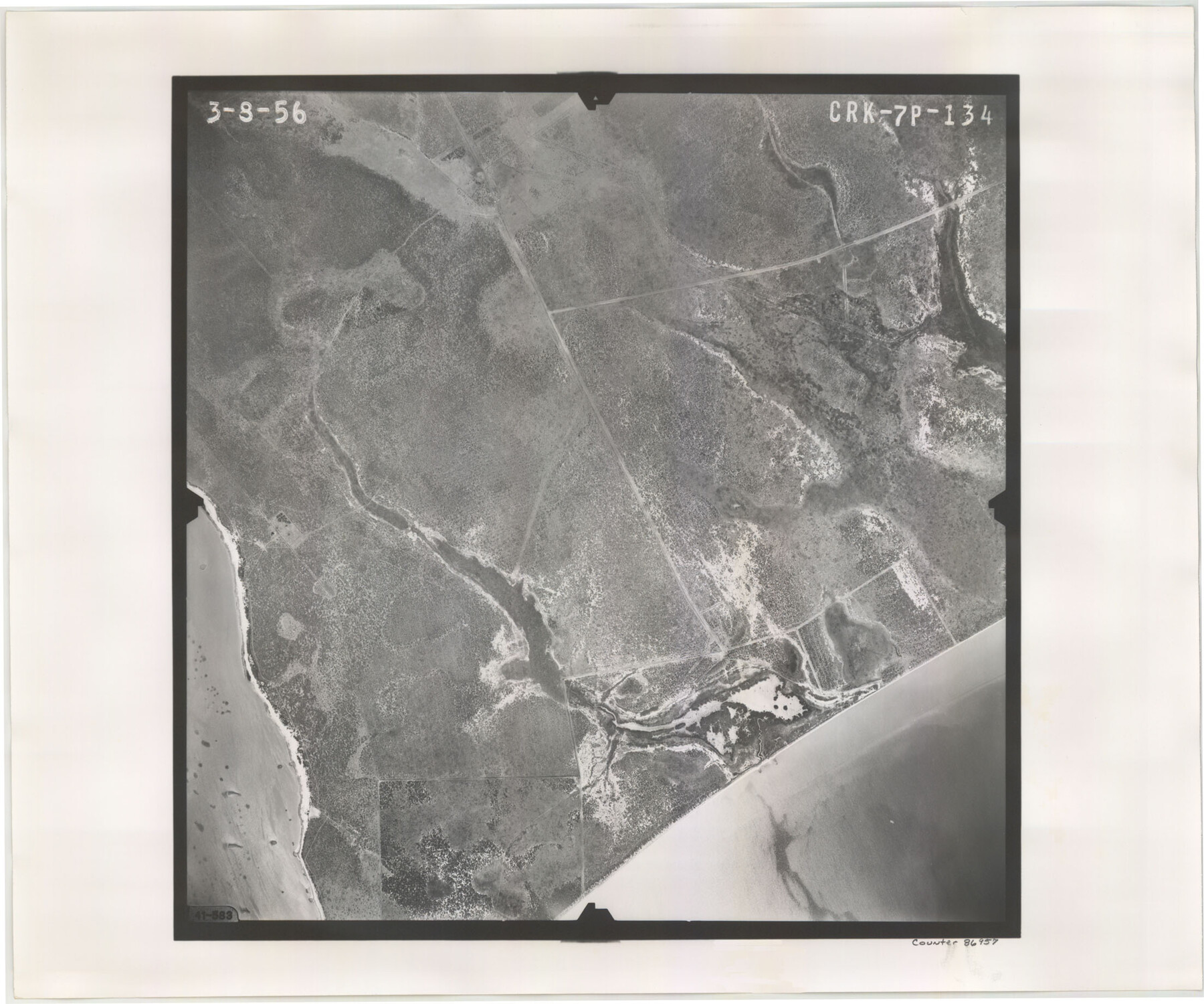
Flight Mission No. CRK-7P, Frame 134, Refugio County
CRK-7P-134
-
Map/Doc
86957
-
Collection
General Map Collection
-
Object Dates
1956/3/8 (Creation Date)
-
People and Organizations
U. S. Department of Agriculture (Publisher)
-
Counties
Refugio
-
Subjects
Aerial Photograph
-
Height x Width
18.4 x 22.1 inches
46.7 x 56.1 cm
-
Comments
Flown by V. L. Beavers and Associates of San Antonio, Texas.
Part of: General Map Collection
Edwards County Working Sketch 106

Print $20.00
- Digital $50.00
Edwards County Working Sketch 106
1972
Size 32.3 x 26.5 inches
Map/Doc 68982
Edwards County Sketch File 14

Print $24.00
- Digital $50.00
Edwards County Sketch File 14
1891
Size 12.9 x 8.7 inches
Map/Doc 21703
Gillespie County

Print $40.00
- Digital $50.00
Gillespie County
1887
Size 34.6 x 49.8 inches
Map/Doc 66836
Young County Sketch File 18

Print $10.00
- Digital $50.00
Young County Sketch File 18
1929
Size 11.5 x 8.7 inches
Map/Doc 40882
Carson County Sketch File 7

Print $20.00
- Digital $50.00
Carson County Sketch File 7
Size 26.7 x 15.0 inches
Map/Doc 11056
Flight Mission No. DQN-6K, Frame 88, Calhoun County

Print $20.00
- Digital $50.00
Flight Mission No. DQN-6K, Frame 88, Calhoun County
1953
Size 18.7 x 22.3 inches
Map/Doc 84448
Stonewall County Working Sketch 32

Print $20.00
- Digital $50.00
Stonewall County Working Sketch 32
1983
Size 27.9 x 36.2 inches
Map/Doc 62339
Cass County Rolled Sketch 3

Print $20.00
- Digital $50.00
Cass County Rolled Sketch 3
1937
Size 34.9 x 34.6 inches
Map/Doc 8585
1882 Map of the Texas & Pacific R-Y Reserve

Print $20.00
- Digital $50.00
1882 Map of the Texas & Pacific R-Y Reserve
1887
Size 44.1 x 42.1 inches
Map/Doc 83560

Terrell County Working Sketch 84b

Print $20.00
- Digital $50.00
Terrell County Working Sketch 84b
1992
Size 25.2 x 42.7 inches
Map/Doc 69606
Topographical Map of the Rio Grande, Sheet No. 16

Print $20.00
- Digital $50.00
Topographical Map of the Rio Grande, Sheet No. 16
1912
Map/Doc 89540
You may also like
Menard County Working Sketch 21

Print $20.00
- Digital $50.00
Menard County Working Sketch 21
1948
Size 32.1 x 41.7 inches
Map/Doc 70968
Edwards County Sketch File 10

Print $40.00
- Digital $50.00
Edwards County Sketch File 10
Size 26.3 x 19.0 inches
Map/Doc 11421
Flight Mission No. DQN-1K, Frame 137, Calhoun County

Print $20.00
- Digital $50.00
Flight Mission No. DQN-1K, Frame 137, Calhoun County
1953
Size 18.5 x 22.2 inches
Map/Doc 84200
Callahan County Working Sketch 2

Print $20.00
- Digital $50.00
Callahan County Working Sketch 2
1952
Size 29.1 x 35.4 inches
Map/Doc 67884
Kinney County Working Sketch 9

Print $20.00
- Digital $50.00
Kinney County Working Sketch 9
1918
Size 20.4 x 20.4 inches
Map/Doc 70191
Hydrographic Survey H-6396 of Outer Coast of Padre Island; Gulf of Mexico

Print $40.00
- Digital $50.00
Hydrographic Survey H-6396 of Outer Coast of Padre Island; Gulf of Mexico
1938
Size 55.4 x 34.0 inches
Map/Doc 2698
Milam County Working Sketch 8

Print $20.00
- Digital $50.00
Milam County Working Sketch 8
1970
Size 27.1 x 30.7 inches
Map/Doc 71023
Harris County Sketch File 9

Print $4.00
- Digital $50.00
Harris County Sketch File 9
1861
Size 6.7 x 7.3 inches
Map/Doc 25340
Flight Mission No. BRA-8M, Frame 148, Jefferson County

Print $20.00
- Digital $50.00
Flight Mission No. BRA-8M, Frame 148, Jefferson County
1953
Size 18.8 x 22.5 inches
Map/Doc 85640
Mason County Working Sketch 15

Print $40.00
- Digital $50.00
Mason County Working Sketch 15
1976
Size 61.9 x 45.4 inches
Map/Doc 70851
Calhoun County NRC Article 33.136 Sketch 10

Digital $50.00
Calhoun County NRC Article 33.136 Sketch 10
2023
Map/Doc 97254
Spade Ranch Hockley County, Texas

Print $3.00
- Digital $50.00
Spade Ranch Hockley County, Texas
1948
Size 17.6 x 7.7 inches
Map/Doc 92226