[Surveying Sketch in Tom Green County]
-
Map/Doc
75550
-
Collection
Maddox Collection
-
People and Organizations
Frank Lerch (Agent)
-
Counties
Tom Green
-
Height x Width
11.4 x 12.4 inches
29.0 x 31.5 cm
-
Medium
blueprint/diazo
-
Features
Crows Nest Creek
Main Concho River
Part of: Maddox Collection
Midland County, Texas

Print $20.00
- Digital $50.00
Midland County, Texas
1880
Size 20.8 x 17.7 inches
Map/Doc 437
Map of Wood County, Texas


Print $20.00
- Digital $50.00
Map of Wood County, Texas
1879
Size 17.5 x 17.1 inches
Map/Doc 659
[Sketch showing Wm. B. Jaques survey on Llano River]
![591, [Sketch showing Wm. B. Jaques survey on Llano River], Maddox Collection](https://historictexasmaps.com/wmedia_w700/maps/00591.tif.jpg)
![591, [Sketch showing Wm. B. Jaques survey on Llano River], Maddox Collection](https://historictexasmaps.com/wmedia_w700/maps/00591.tif.jpg)
Print $2.00
- Digital $50.00
[Sketch showing Wm. B. Jaques survey on Llano River]
Size 10.9 x 9.0 inches
Map/Doc 591
Map of Atascosa County, Texas

Print $20.00
- Digital $50.00
Map of Atascosa County, Texas
1879
Size 23.7 x 29.0 inches
Map/Doc 688
Working Sketch in Dickens & King Cos.

Print $20.00
- Digital $50.00
Working Sketch in Dickens & King Cos.
Size 24.4 x 20.4 inches
Map/Doc 10770
Map of Tyler County, Texas


Print $20.00
- Digital $50.00
Map of Tyler County, Texas
1879
Size 28.6 x 22.8 inches
Map/Doc 720
Yowards Ranche, Bee County, Texas

Print $20.00
- Digital $50.00
Yowards Ranche, Bee County, Texas
Size 13.3 x 12.4 inches
Map/Doc 381
Map of Galveston County, Texas
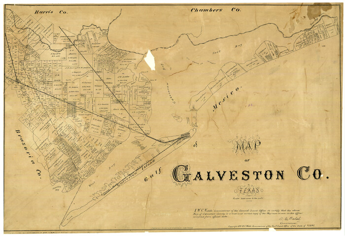

Print $20.00
- Digital $50.00
Map of Galveston County, Texas
1879
Size 18.3 x 26.6 inches
Map/Doc 546
[S. C. Vineyard and Adjacent Surveys, Aransas County, Texas]
![82558, [S. C. Vineyard and Adjacent Surveys, Aransas County, Texas], Maddox Collection](https://historictexasmaps.com/wmedia_w700/maps/82558.tif.jpg)
![82558, [S. C. Vineyard and Adjacent Surveys, Aransas County, Texas], Maddox Collection](https://historictexasmaps.com/wmedia_w700/maps/82558.tif.jpg)
Print $20.00
- Digital $50.00
[S. C. Vineyard and Adjacent Surveys, Aransas County, Texas]
Size 24.7 x 18.6 inches
Map/Doc 82558
Austin, Texas Congress Ave. Drainage
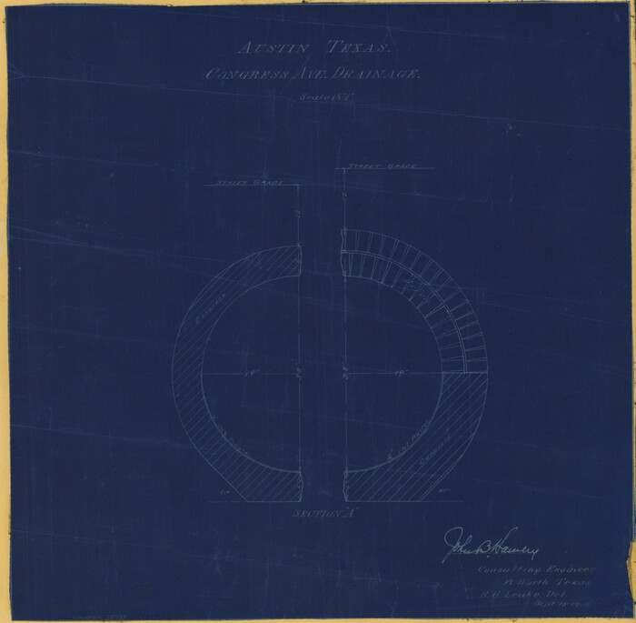

Print $20.00
- Digital $50.00
Austin, Texas Congress Ave. Drainage
1903
Size 15.1 x 15.5 inches
Map/Doc 75797
Map of Frio County, Texas


Print $20.00
- Digital $50.00
Map of Frio County, Texas
1879
Size 22.8 x 21.9 inches
Map/Doc 545
Foard County, Texas
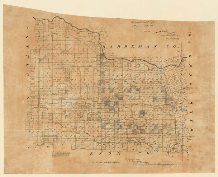

Print $20.00
- Digital $50.00
Foard County, Texas
1891
Size 20.6 x 24.5 inches
Map/Doc 4338
You may also like
The Dust Bowl: Severe Drought During the Depression


The Dust Bowl: Severe Drought During the Depression
2022
Size 8.5 x 11.0 inches
Map/Doc 97095
Map of Crockett County
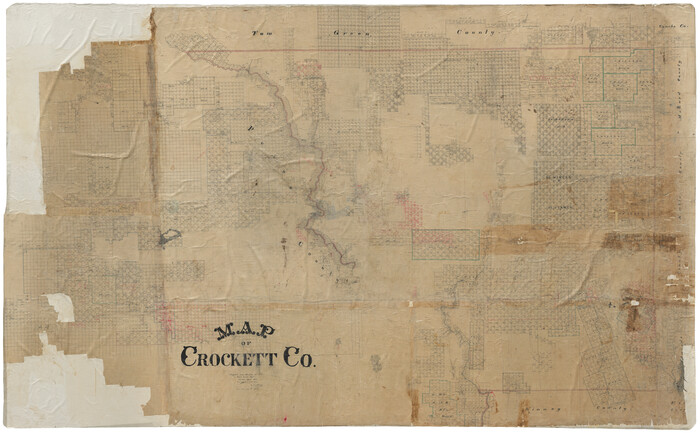

Print $40.00
- Digital $50.00
Map of Crockett County
1878
Size 60.2 x 97.2 inches
Map/Doc 78701
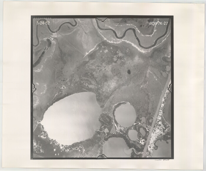
Flight Mission No. BQR-7K, Frame 27, Brazoria County

Print $20.00
- Digital $50.00
Flight Mission No. BQR-7K, Frame 27, Brazoria County
1952
Size 18.6 x 22.3 inches
Map/Doc 84025
Howard County Working Sketch 3


Print $20.00
- Digital $50.00
Howard County Working Sketch 3
1904
Size 26.8 x 20.1 inches
Map/Doc 66269
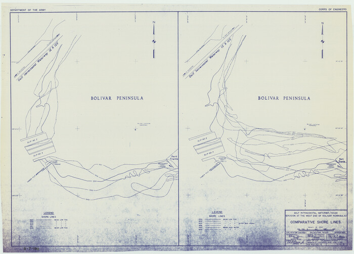
Gulf Intracoastal Waterway - Texas Erosion at the West End of Bolivar Peninsula Comparative Shorelines

Print $20.00
- Digital $50.00
Gulf Intracoastal Waterway - Texas Erosion at the West End of Bolivar Peninsula Comparative Shorelines
1950
Size 29.0 x 40.3 inches
Map/Doc 61826
Dickens County Rolled Sketch P1


Print $20.00
- Digital $50.00
Dickens County Rolled Sketch P1
1915
Size 40.5 x 36.2 inches
Map/Doc 8783
League 206 Ochiltree County School Land


Print $20.00
- Digital $50.00
League 206 Ochiltree County School Land
Size 24.0 x 19.5 inches
Map/Doc 92481
Upton County Rolled Sketch 35


Print $20.00
- Digital $50.00
Upton County Rolled Sketch 35
1951
Size 37.3 x 19.2 inches
Map/Doc 8077
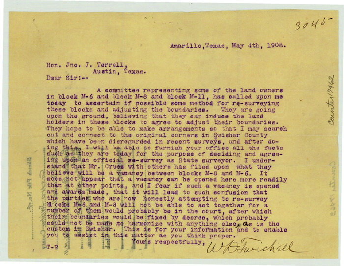
Castro County Sketch File 4

Print $6.00
- Digital $50.00
Castro County Sketch File 4
1908
Size 6.9 x 8.9 inches
Map/Doc 17462
Dawson County Sketch File 13


Print $2.00
- Digital $50.00
Dawson County Sketch File 13
Size 11.2 x 8.6 inches
Map/Doc 20546
Eastland County Rolled Sketch 21


Print $20.00
- Digital $50.00
Eastland County Rolled Sketch 21
1982
Size 40.2 x 44.5 inches
Map/Doc 8827
![75550, [Surveying Sketch in Tom Green County], Maddox Collection](https://historictexasmaps.com/wmedia_w1800h1800/maps/75550.tif.jpg)
