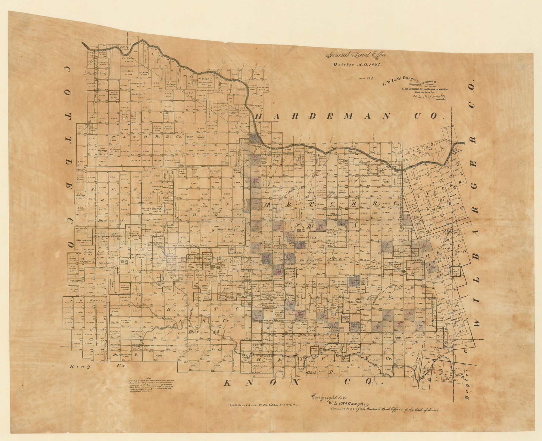
Foard County, Texas
-
Map/Doc
4338
-
Collection
Maddox Collection
-
Object Dates
1891 (Creation Date)
1891 (Copyright Date)
-
People and Organizations
General Land Office (Publisher)
Geo. D. Barnard & Co. Photo. Litho. (Printer)
W.L. McGaughey (GLO Commissioner)
-
Counties
Foard
-
Subjects
County
-
Height x Width
20.6 x 24.5 inches
52.3 x 62.2 cm
-
Medium
paper, etching/engraving/lithograph
-
Scale
1:4000
-
Comments
Conservation funded in 2012 by Friends of the Texas General Land Office.
-
Features
Catfish Creek
Cedar Creek
Canal Creek
Pease River
Mule Creek
Raggedy Creek
Crowell
Middle Beaver Creek
Hackberry Creek
Big Wichita River
Little Wichita River
Good Creek
Wichita River
Bluff Creek
Middle Wichita River
Dead Man's Creek
Part of: Maddox Collection
[Sketch Showing Surveys Adjacent to Richmond, Fort Bend County, Texas]
![395, [Sketch Showing Surveys Adjacent to Richmond, Fort Bend County, Texas], Maddox Collection](https://historictexasmaps.com/wmedia_w700/maps/0395.tif.jpg)
Print $2.00
- Digital $50.00
[Sketch Showing Surveys Adjacent to Richmond, Fort Bend County, Texas]
Size 9.9 x 7.7 inches
Map/Doc 395
[Northern Portion of] Cottle County
![4436, [Northern Portion of] Cottle County, Maddox Collection](https://historictexasmaps.com/wmedia_w700/maps/4436-1.tif.jpg)
Print $20.00
- Digital $50.00
[Northern Portion of] Cottle County
1908
Size 28.4 x 29.5 inches
Map/Doc 4436
Mason County, Texas

Print $20.00
- Digital $50.00
Mason County, Texas
1896
Size 34.6 x 32.8 inches
Map/Doc 392
Map of Martinsburg Property, Gillespie Co., Tex.

Print $20.00
- Digital $50.00
Map of Martinsburg Property, Gillespie Co., Tex.
Size 15.7 x 13.6 inches
Map/Doc 446
Map of the O-X Ranch in Cottle County, Texas

Print $20.00
- Digital $50.00
Map of the O-X Ranch in Cottle County, Texas
1916
Size 30.4 x 35.7 inches
Map/Doc 4439
Map of part of Waller County

Print $20.00
- Digital $50.00
Map of part of Waller County
Size 16.3 x 13.5 inches
Map/Doc 685
[Sketch in Hutchinson County, Texas]
![76016, [Sketch in Hutchinson County, Texas], Maddox Collection](https://historictexasmaps.com/wmedia_w700/maps/76016.tif.jpg)
Print $20.00
- Digital $50.00
[Sketch in Hutchinson County, Texas]
Size 26.5 x 35.3 inches
Map/Doc 76016
McClennan [sic] County, Texas
![577, McClennan [sic] County, Texas, Maddox Collection](https://historictexasmaps.com/wmedia_w700/maps/577.tif.jpg)
Print $20.00
- Digital $50.00
McClennan [sic] County, Texas
1880
Size 23.5 x 26.7 inches
Map/Doc 577
Childress County, Texas

Print $20.00
- Digital $50.00
Childress County, Texas
1892
Size 29.3 x 22.0 inches
Map/Doc 697
[Cemetary, Unknown Location]
![75552, [Cemetary, Unknown Location], Maddox Collection](https://historictexasmaps.com/wmedia_w700/maps/75552.tif.jpg)
Print $20.00
- Digital $50.00
[Cemetary, Unknown Location]
Size 30.6 x 14.9 inches
Map/Doc 75552
Hunt County, Texas

Print $20.00
- Digital $50.00
Hunt County, Texas
1871
Size 25.8 x 19.4 inches
Map/Doc 462
Waller County, Texas

Print $20.00
- Digital $50.00
Waller County, Texas
1879
Size 22.8 x 17.7 inches
Map/Doc 764
You may also like
Montgomery County Working Sketch 25

Print $40.00
- Digital $50.00
Montgomery County Working Sketch 25
1941
Size 50.0 x 43.7 inches
Map/Doc 71132
Brazoria County Working Sketch 32

Print $20.00
- Digital $50.00
Brazoria County Working Sketch 32
1979
Size 15.8 x 36.9 inches
Map/Doc 67517
A Sketch of the Vice Royalty exhibiting the several Provinces and its Aproximation [sic] to the Internal Provinces of New Spain
![95157, A Sketch of the Vice Royalty exhibiting the several Provinces and its Aproximation [sic] to the Internal Provinces of New Spain, General Map Collection](https://historictexasmaps.com/wmedia_w700/maps/95157.tif.jpg)
Print $20.00
- Digital $50.00
A Sketch of the Vice Royalty exhibiting the several Provinces and its Aproximation [sic] to the Internal Provinces of New Spain
1810
Size 15.2 x 21.1 inches
Map/Doc 95157
Flight Mission No. CRC-3R, Frame 198, Chambers County

Print $20.00
- Digital $50.00
Flight Mission No. CRC-3R, Frame 198, Chambers County
1956
Size 18.5 x 22.2 inches
Map/Doc 84853
The Republic County of Matagorda. January 19, 1841

Print $20.00
The Republic County of Matagorda. January 19, 1841
2020
Size 21.0 x 21.7 inches
Map/Doc 96220
Polk County Sketch File 14

Print $6.00
- Digital $50.00
Polk County Sketch File 14
Size 5.7 x 11.4 inches
Map/Doc 34152
Nueces County NRC Article 33.136 Location Key Sheet

Print $20.00
- Digital $50.00
Nueces County NRC Article 33.136 Location Key Sheet
1975
Size 27.0 x 23.0 inches
Map/Doc 88588
Kleberg County Rolled Sketch 10-14

Print $20.00
- Digital $50.00
Kleberg County Rolled Sketch 10-14
1951
Size 38.0 x 33.2 inches
Map/Doc 9404
San Patricio County Rolled Sketch 17

Print $20.00
- Digital $50.00
San Patricio County Rolled Sketch 17
1917
Size 18.1 x 28.1 inches
Map/Doc 7574
Neches River, Box Creek Sheet Cross Section

Print $6.00
- Digital $50.00
Neches River, Box Creek Sheet Cross Section
1940
Size 37.0 x 18.8 inches
Map/Doc 65079
Stonewall County Sketch File 12 and 12a

Print $30.00
- Digital $50.00
Stonewall County Sketch File 12 and 12a
1900
Size 9.2 x 9.0 inches
Map/Doc 37240
Map of Coryell County

Print $20.00
- Digital $50.00
Map of Coryell County
1863
Size 23.1 x 27.4 inches
Map/Doc 3443