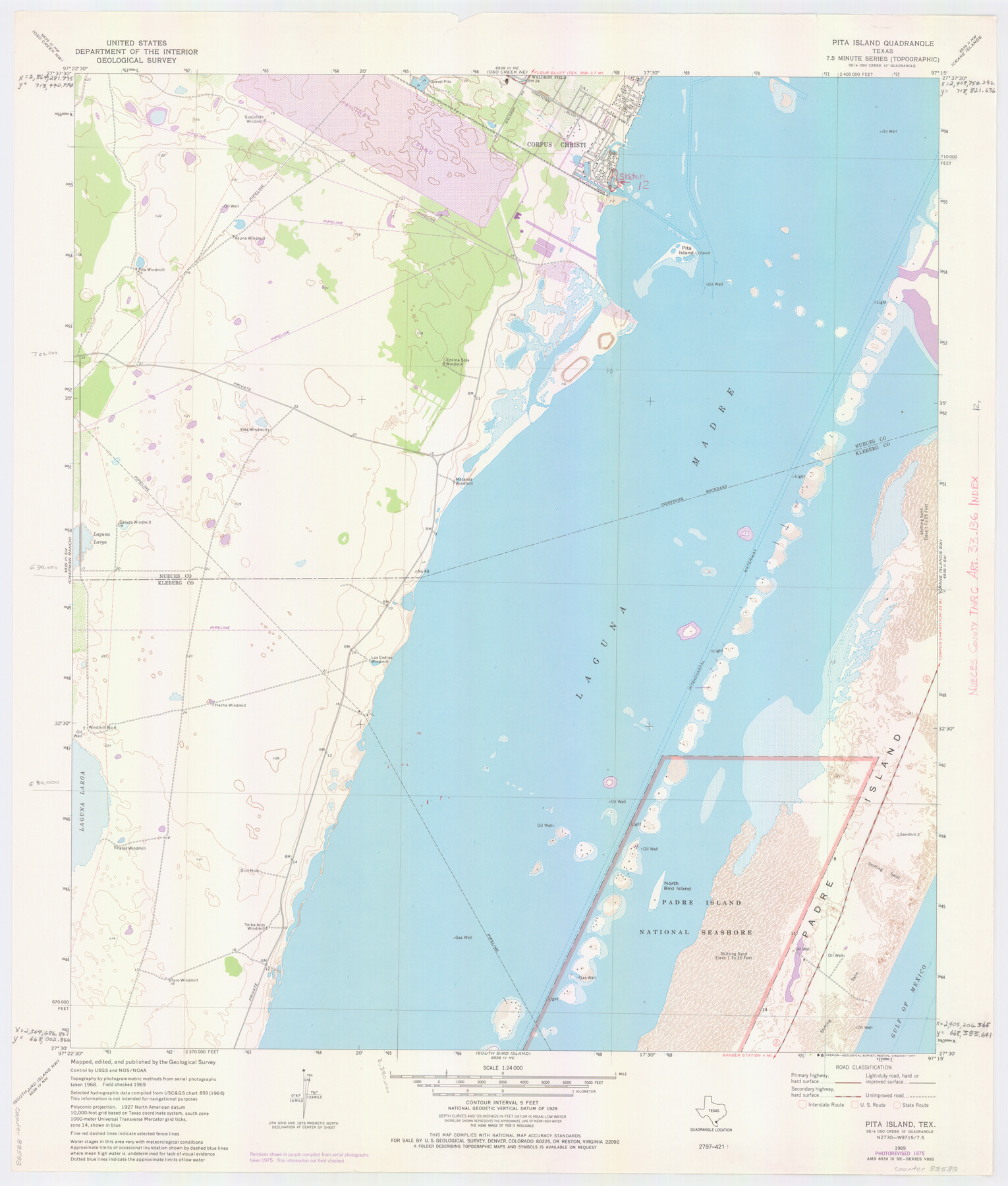
Nueces County NRC Article 33.136 Location Key Sheet
Portland Quadrangle
-
Map/Doc
88588
-
Collection
General Map Collection
-
Object Dates
1975 (Creation Date)
-
People and Organizations
U. S. Geological Survey (Publisher)
U. S. Geological Survey (Printer)
-
Counties
Nueces
-
Subjects
Surveying CBS
-
Height x Width
27.0 x 23.0 inches
68.6 x 58.4 cm
Part of: General Map Collection
Comal County Working Sketch Graphic Index

Print $20.00
- Digital $50.00
Comal County Working Sketch Graphic Index
1947
Size 41.8 x 35.9 inches
Map/Doc 76501
Duval County Sketch File 54

Print $20.00
- Digital $50.00
Duval County Sketch File 54
1937
Size 19.0 x 26.4 inches
Map/Doc 11403
Denison Dam Quadrangle

Print $20.00
- Digital $50.00
Denison Dam Quadrangle
1999
Size 35.4 x 23.4 inches
Map/Doc 97366
Culberson County Working Sketch 21

Print $40.00
- Digital $50.00
Culberson County Working Sketch 21
1936
Size 36.7 x 57.8 inches
Map/Doc 68473
Erath County Sketch File 13a

Print $6.00
- Digital $50.00
Erath County Sketch File 13a
1872
Size 10.3 x 8.2 inches
Map/Doc 22287
Pecos County Rolled Sketch 107

Print $20.00
- Digital $50.00
Pecos County Rolled Sketch 107
1940
Size 21.9 x 45.4 inches
Map/Doc 7253
1968 Texas Official State Highway Map

Digital $50.00
1968 Texas Official State Highway Map
Size 28.2 x 36.3 inches
Map/Doc 94320
Map of Newton County

Print $40.00
- Digital $50.00
Map of Newton County
1894
Size 74.9 x 27.7 inches
Map/Doc 16778
Flight Mission No. DCL-6C, Frame 97, Kenedy County

Print $20.00
- Digital $50.00
Flight Mission No. DCL-6C, Frame 97, Kenedy County
1943
Size 18.6 x 22.3 inches
Map/Doc 85927
Map of Palo Pinto County

Print $20.00
- Digital $50.00
Map of Palo Pinto County
1898
Size 45.8 x 37.6 inches
Map/Doc 16783
Coleman County Rolled Sketch 2

Print $20.00
- Digital $50.00
Coleman County Rolled Sketch 2
Size 18.3 x 24.9 inches
Map/Doc 5528
Kent County Working Sketch 24

Print $20.00
- Digital $50.00
Kent County Working Sketch 24
1988
Size 30.5 x 21.2 inches
Map/Doc 70031
You may also like

Flight Mission No. BQR-20K, Frame 15, Brazoria County

Print $20.00
- Digital $50.00
Flight Mission No. BQR-20K, Frame 15, Brazoria County
1952
Size 18.6 x 22.3 inches
Map/Doc 84117
Wharton County Rolled Sketch 14

Print $20.00
- Digital $50.00
Wharton County Rolled Sketch 14
2020
Size 36.1 x 24.3 inches
Map/Doc 95915
Pecos County Sketch

Print $20.00
- Digital $50.00
Pecos County Sketch
Size 34.2 x 23.5 inches
Map/Doc 91642
![89854, [Lamesa], Twichell Survey Records](https://historictexasmaps.com/wmedia_w700/maps/89854-1.tif.jpg)
Hopkins County Sketch File 20

Print $4.00
- Digital $50.00
Hopkins County Sketch File 20
1871
Size 12.8 x 8.3 inches
Map/Doc 26725
Trinity River, Grapevine Sheet/Denton Creek

Print $6.00
- Digital $50.00
Trinity River, Grapevine Sheet/Denton Creek
1938
Size 22.2 x 34.7 inches
Map/Doc 65243
Map of East Texas Oil Field

Print $20.00
- Digital $50.00
Map of East Texas Oil Field
1933
Size 16.5 x 17.8 inches
Map/Doc 93949
Starr County Boundary File 1a

Print $20.00
- Digital $50.00
Starr County Boundary File 1a
Size 22.4 x 41.0 inches
Map/Doc 58813
Panola County Sketch File 1a

Print $4.00
- Digital $50.00
Panola County Sketch File 1a
1855
Size 12.7 x 7.9 inches
Map/Doc 33445
Loving County Boundary File 1

Print $6.00
- Digital $50.00
Loving County Boundary File 1
Size 11.2 x 8.7 inches
Map/Doc 56452
Matagorda Light to Aransas Pass

Print $20.00
- Digital $50.00
Matagorda Light to Aransas Pass
1972
Size 35.9 x 44.8 inches
Map/Doc 73400