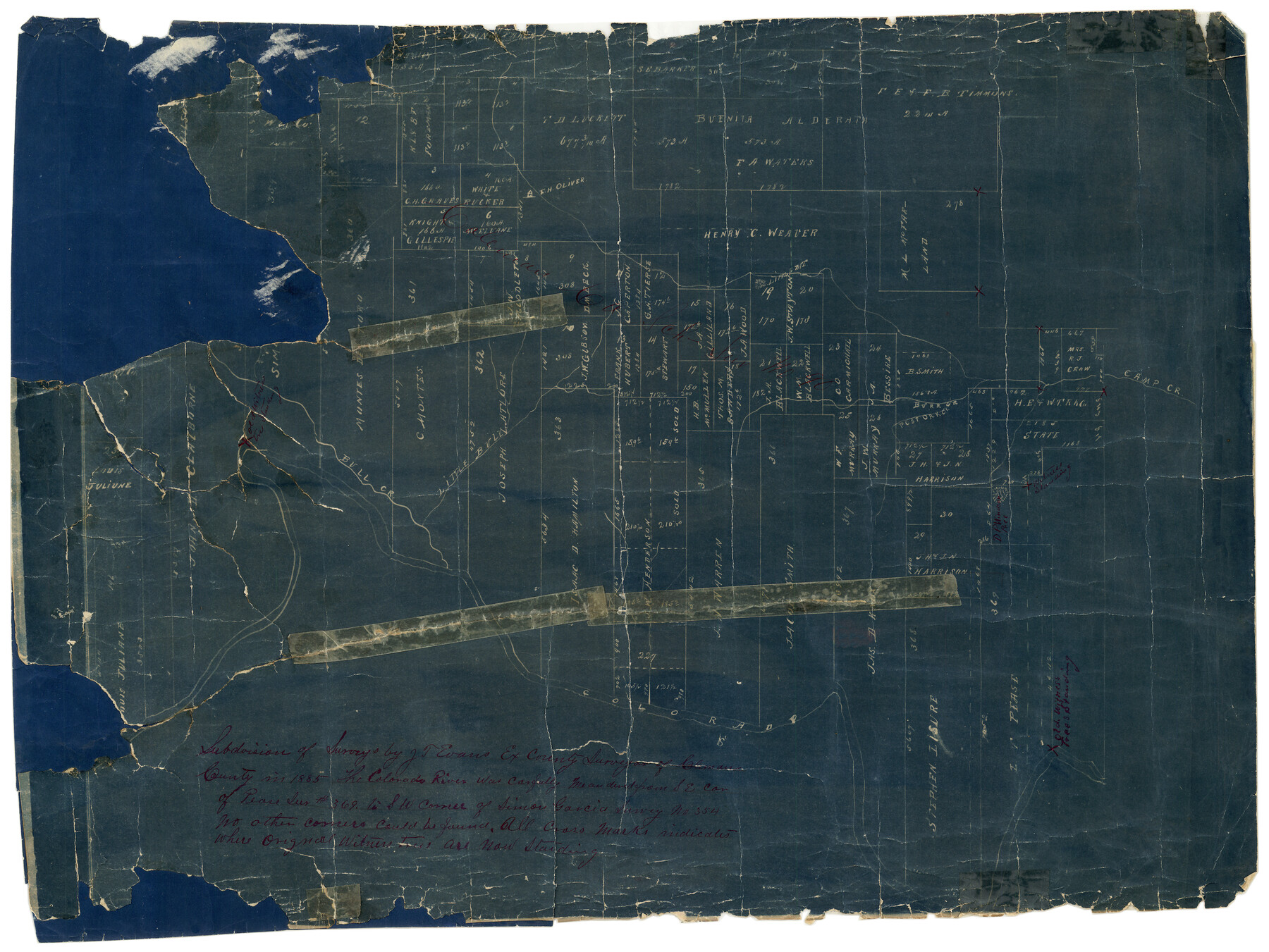
Coleman County Rolled Sketch 2
Sketch in the South Part of Coleman County [Showing Surveys on the Colorado River and Bull Creek]
-
Map/Doc
5528
-
Collection
General Map Collection
-
Object Dates
3/25/1889 (File Date)
-
People and Organizations
J.T. Evans (Surveyor/Engineer)
-
Counties
Coleman
-
Subjects
Surveying Rolled Sketch
-
Height x Width
18.3 x 24.9 inches
46.5 x 63.3 cm
Part of: General Map Collection
Limestone County Working Sketch 19

Print $20.00
- Digital $50.00
Limestone County Working Sketch 19
1969
Size 37.1 x 29.7 inches
Map/Doc 70569
Harbor Pass and Bar at Brazos Santiago, Texas

Print $20.00
- Digital $50.00
Harbor Pass and Bar at Brazos Santiago, Texas
1871
Size 18.2 x 26.8 inches
Map/Doc 72983
Panola County Sketch File 20

Print $22.00
- Digital $50.00
Panola County Sketch File 20
Size 8.3 x 14.6 inches
Map/Doc 33485
Flight Mission No. BRA-16M, Frame 59, Jefferson County

Print $20.00
- Digital $50.00
Flight Mission No. BRA-16M, Frame 59, Jefferson County
1953
Size 18.3 x 22.5 inches
Map/Doc 85676
Collin County Sketch File 1

Print $6.00
- Digital $50.00
Collin County Sketch File 1
1853
Size 6.4 x 8.2 inches
Map/Doc 18855
[Bastrop District]
![83519, [Bastrop District], General Map Collection](https://historictexasmaps.com/wmedia_w700/maps/83519-1.tif.jpg)
Print $20.00
- Digital $50.00
[Bastrop District]
1838
Size 26.5 x 44.2 inches
Map/Doc 83519
McCulloch County

Print $20.00
- Digital $50.00
McCulloch County
1874
Size 21.9 x 16.8 inches
Map/Doc 3856
Fort Bend County Sketch File 1

Print $6.00
- Digital $50.00
Fort Bend County Sketch File 1
Size 14.7 x 9.5 inches
Map/Doc 22876
Upshur County Sketch File 13B

Print $20.00
- Digital $50.00
Upshur County Sketch File 13B
1936
Size 20.5 x 32.3 inches
Map/Doc 12504

Kimble County Working Sketch 42

Print $20.00
- Digital $50.00
Kimble County Working Sketch 42
1949
Size 40.5 x 40.0 inches
Map/Doc 70110
Eastland County Working Sketch 4

Print $20.00
- Digital $50.00
Eastland County Working Sketch 4
1918
Size 39.1 x 29.1 inches
Map/Doc 68785
You may also like
Northeast Part Pecos County

Print $20.00
- Digital $50.00
Northeast Part Pecos County
1975
Size 35.5 x 42.3 inches
Map/Doc 77394
Frio County Sketch File 20

Print $6.00
- Digital $50.00
Frio County Sketch File 20
1964
Size 14.2 x 8.8 inches
Map/Doc 23159
Marion County Rolled Sketch S

Print $20.00
- Digital $50.00
Marion County Rolled Sketch S
1937
Size 18.8 x 18.1 inches
Map/Doc 6663
The Chief Justice County of Jackson. April 24, 1837

Print $20.00
The Chief Justice County of Jackson. April 24, 1837
2020
Size 18.4 x 21.7 inches
Map/Doc 96051
Real County Working Sketch 25

Print $20.00
- Digital $50.00
Real County Working Sketch 25
1946
Size 26.5 x 24.7 inches
Map/Doc 71917
Brewster County Sketch File N-26

Print $40.00
- Digital $50.00
Brewster County Sketch File N-26
Size 20.5 x 15.4 inches
Map/Doc 10971
Flight Mission No. DQO-6K, Frame 21, Galveston County

Print $20.00
- Digital $50.00
Flight Mission No. DQO-6K, Frame 21, Galveston County
1952
Size 18.7 x 22.3 inches
Map/Doc 85094
Wise County Sketch File 26b

Print $20.00
- Digital $50.00
Wise County Sketch File 26b
1855
Size 13.3 x 19.9 inches
Map/Doc 12700
Brewster County Rolled Sketch 114

Print $20.00
- Digital $50.00
Brewster County Rolled Sketch 114
1964
Size 11.4 x 17.7 inches
Map/Doc 5284
The Republic County of Jackson. January 29, 1842

Print $20.00
The Republic County of Jackson. January 29, 1842
2020
Size 15.6 x 21.8 inches
Map/Doc 96189
Llano County Working Sketch 6

Print $20.00
- Digital $50.00
Llano County Working Sketch 6
1961
Size 15.8 x 20.8 inches
Map/Doc 70624
Map showing those portions of Texas traversed by Rock Island Lines and connections

Print $20.00
- Digital $50.00
Map showing those portions of Texas traversed by Rock Island Lines and connections
1904
Size 15.6 x 12.2 inches
Map/Doc 96588